
Alaska
Recent Articles
More Articles
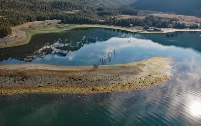
Ellamar, Prince William Sound
Ellamar is a historic mining camp on Virgin Bay in Prince William Sound, at the base of Ellamar Mountain, about 20 miles (32 km) southwest of Valdez and 2 miles (3.2 km) northwest of Tatitlek, Alaska.
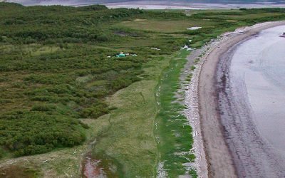
Douglas, Katmai National Park and Preserve
Douglas is a historical village in Katmai National Park and Preserve, also called Kaguyak but not to be confused with Kaguyak on Kodiak Island, situated on the Shelikof Strait coast of the Alaska Peninsula, about 112 miles (181 km) southwest of Homer and 100 miles (161.km) east of King Salmon, Alaska.
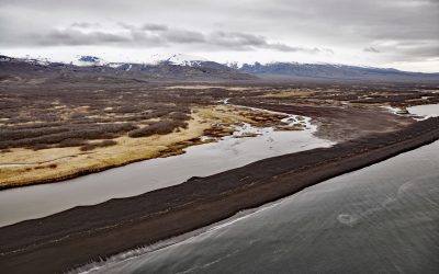
Mount Pavlof, Pavlof Bay
Mount Pavlof is a stratovolcano in the Aleutian Range on the Alaska Peninsula near Pavlof Bay, about 57 miles (92 km) west of Sand Point and 34 miles (55 km) northeast of Cold Bay, Alaska.
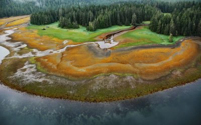
Winter Harbor, Prince of Wales Island
Winter Harbor is an embayment about 0.3 miles (0.5 km) wide on the west coast of Prince of Wales Island, near the south entrance to Tuxekan Passage, about 66 miles (106 km) northwest of Ketchikan and 15 miles (24 km) north-northwest of Klawock, Alaska.
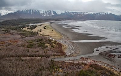
Patton Bay, Montague Island
Patton Bay is about 4 miles (6.5 km) wide, located on the southeast coast of Montague Island, about 75 miles (121 km) southwest of Cordova and 70 miles (113 km) southeast of Seward, Alaska.
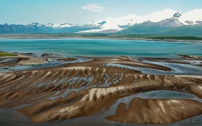
Hallo Bay, Katmai National Park and Preserve
Hallo Bay is a bight in Shelikof Strait on the south coast of the Alaska Peninsula in Katmai National Park and Preserve, about 122 miles (197 km) southwest of Homer and 76 miles (123 km) northwest of Kodiak, Alaska.
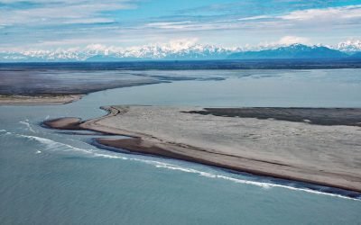
Dangerous River, Brabazon Mountains
Dangerous River starts at Harlequin Lake in the Brabazon Mountains of the Fairweather Range and flows southwest for 16 miles (26 km) to the Gulf of Alaska, about 102 miles (165 km) northwest of Gustavus and 50 miles (81 km) southeast of Yakutat, Alaska.
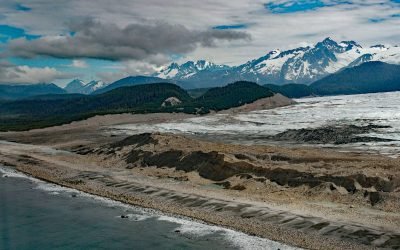
La Perouse Glacier, Fairweather Range
La Perouse Glacier descends from Mount La Perouse in the Fairweather Range and in Glacier Bay National Park and Preserve, about 116 miles (187 km) southeast of Yakutat and 40 miles (65 km) northwest of Gustavus, Alaska.
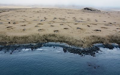
Fort Glenn, Umnak Island
Fort Glenn was a World War II military base on the northeast coast of Umnak Island in the Eastern Aleutians, about 67 miles (108 km) southwest of Dutch Harbor and 49 miles (79 km) northeast of Nikolski, Alaska.
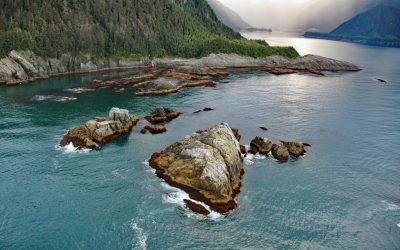
Torch Bay, Glacier Bay National Park and Preserve
Torch Bay is about 3 miles (4.8 km) long, located on the outer coast of Glacier Bay National Park and Preserve about 7 miles (11.3 km) north of Cape Spencer, 52 miles (84 km) northwest of Hoonah and 41 miles (66 km) west-southwest of Gustavus, Alaska.
About the background graphic
This ‘warming stripe’ graphic is a visual representation of the change in global temperature from 1850 (top) to 2019 (bottom). Each stripe represents the average global temperature for one year. The average temperature from 1971-2000 is set as the boundary between blue and red. The colour scale goes from -0.7°C to +0.7°C. The data are from the UK Met Office HadCRUT4.6 dataset.
Click here for more information about the #warmingstripes.