
Alaska
Recent Articles
More Articles
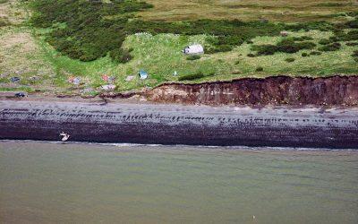
Saint Nicholas Chapel, Ekuk
Saint Nicholas Chapel is a historic Russian Orthodox church situated on a bluff overlooking Ekuk Spit and the summer set-net community of Ekuk, on the eastern shore of Nushagak Bay, about 16 miles (26 km) south-southwest of Dillingham and 2 miles (3.2 km) south-southwest of Clarks Point, Alaska.
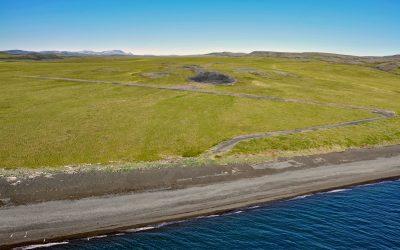
Chariot, Cape Thompson
Cape Thompson is a headland on the Chukchi Sea coast near the site of Project Chariot, about 41 miles (66 km) northwest of Kivalina and about 31 miles (50 km) southeast of Point Hope, Alaska.
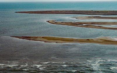
Point Franklin, Peard Bay
Point Franklin is the site of several whaling shipwrecks at the end of a barrier spit that extends 13 miles (21 km) northeast from the Arctic Coastal Plain, and together with the Seahorse Islands, separates Peard Bay from the Chukchi Sea, about 54 miles (87 km) southwest of Utqiaġvik and 33 miles (53 km) northeast of Wainwright, Alaska.
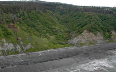
Diamond Creek, Kachemak Bay
Diamond Creek starts at an elevation of about 1,000 feet (305 m) on the southern Kenai Peninsula and drains a watershed of 3,424 acres (1,386 ha) while flowing generally west for about 5 miles (8 km) from Diamond Ridge to the northern shore of Kachemak Bay, about 10 miles (16 km) southeast of Anchor Point and 6 miles (10 km) west-northwest of Homer, Alaska.
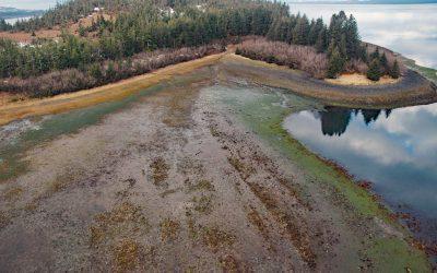
Gilmour Point, Montague Island
Gilmour Point is a headland that forms the northern shore of Port Chalmers on the northwest coast of Montague Island in Prince William Sound, and an area of extensive eelgrass beds, about 62 miles (100 km) southeast of Whittier and 54 miles (87 km) southwest of Cordova, Alaska.
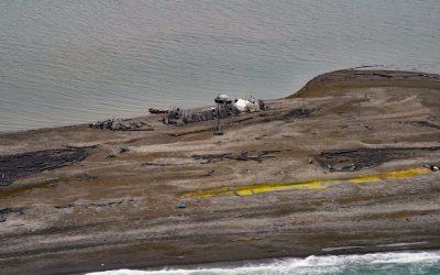
Gordon, Demarcation Point
Gordon is the site of a historical trading post near Demarcation Point, a 2.5 miles (4 km) long barrier spit separating Demarcation Bay to the south from the Beaufort Sea to the north, about 210 miles (338 km) northwest of Inuvik, Northwest Territories and 63 miles (102 km) southeast of Kaktovik, Alaska.
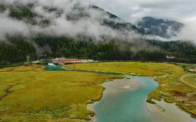
Speel Arm, Port Snettisham
Speel Arm extends generally northeast for 9 miles (14.5 km) from the head of Port Snettisham to the mouth of the Speel River, and is the site of a hydroelectric facility powered by water from Crater Lake and Long Lake, about 95 miles (153 km) northeast of Sitka and 30 miles (48 km) southeast of Juneau, Alaska.
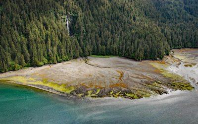
Tutka Bay, Kachemak Bay State Park
Tutka Bay is a deglaciated fjord that extends 8.5 miles (14 km) in Kachemak Bay State Park from Eldred Passage to the mouth of an unnamed river that flows generally west-northwest for 7 miles (11 km) from small remnants of the Southern Glacier, about 18 miles (29 km) southeast of Homer and 15 miles (24 km) east of Seldovia, Alaska.
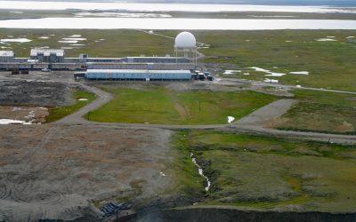
North Warning System, Barter Island
The North Warning System at Barter Island is a long-range radar facility on the Beaufort Sea coast, situated between Arey Lagoon to the west and Kaktovik Lagoon to the east and adjacent to the village of Kaktovik, about 273 miles (440 km) northwest of Inuvik, Northwest Territories, and 112 miles (180 km) east of Deadhorse, Alaska.
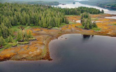
Whale Passage, Prince of Wales Island
Whale Passage is a waterway about 10 miles (16 km) long and the site of a historic logging camp, situated between Thorne Island to the east and Prince of Wales Island to the west, about 40 miles (65 km) southwest of Wrangell and 11 miles (18 km) west-northwest of Coffman Cove, Alaska.
About the background graphic
This ‘warming stripe’ graphic is a visual representation of the change in global temperature from 1850 (top) to 2019 (bottom). Each stripe represents the average global temperature for one year. The average temperature from 1971-2000 is set as the boundary between blue and red. The colour scale goes from -0.7°C to +0.7°C. The data are from the UK Met Office HadCRUT4.6 dataset.
Click here for more information about the #warmingstripes.