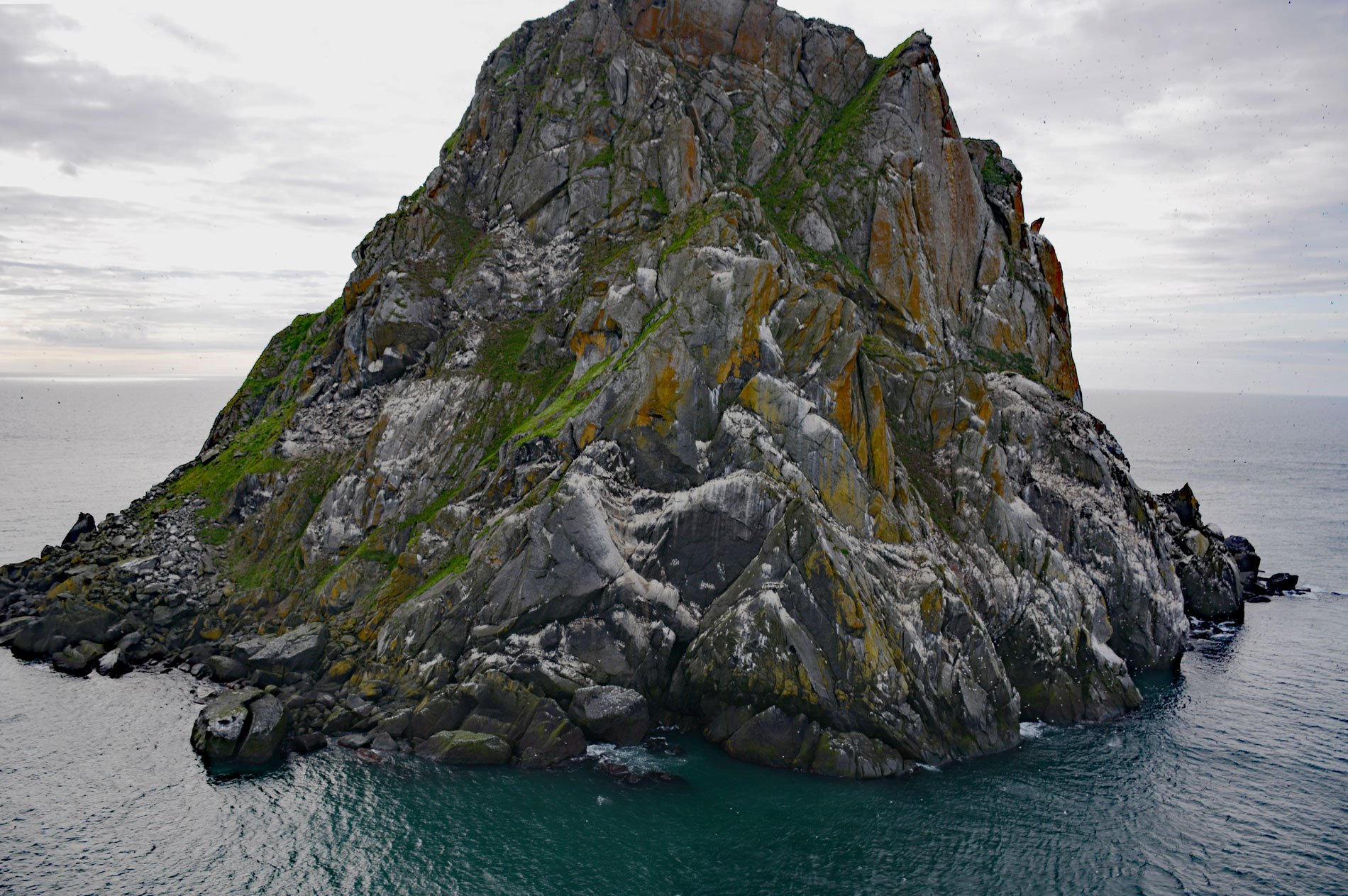
Fairway Rock is located about 10 miles (16 km) southeast of Little Diomede Island, and 15 miles (24 km) west of Cape Prince of Wales, at the western end of the Seward Peninsula, Alaska. The rock is 534 feet (163 m) high, square-headed, and steep-sided. The rock was first mapped by Captain James Cook in 1778. It was named “Fairway” in 1826, by Captain Frederick William Beechey of the Royal Navy, because it is an important navigation guide to the preferred eastern channel through the Bering Strait. Beechey also recorded its native name as “Oo-ghee-ak”. It was mentioned in the accounts of John Muir’s voyage aboard the Corwin in 1881, and by Roald Amundsen aboard the Gjøa in 1906.
Fairway Rock is part of the Alaska Maritime National Wildlife Refuge. The island is an important nesting site for seabirds, most notably the least and crested auklet. The U.S. Navy installed a strontium-powered thermoelectric generator on Fairway from 1966-1995 to test remote applications of a portable power source. Ocean currents north of Fairway Rock have been studied as a real-world example of a Von Kármán vortex street. In fluid dynamics, a vortex street is a repeating pattern of swirling vortices. Learn more about Fairway Rock here and here. Explore more of Fairway Rock here:

