
Beaches
Recent Articles
More Articles

MacDonald Spit, Kasitsna Bay
MacDonald Spit forms the northwestern shore of Kasitsna Bay on the southern coast of Kachemak Bay, approximately 11 miles (18 km) south of Homer and 5 miles (8 km) northeast of Seldovia, Alaska.
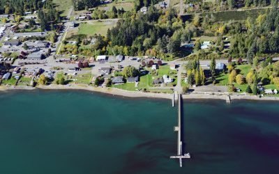
Allyn, Case Inlet
Allyn is a community at the mouth of Sherwood Creek on the western shore of Case Inlet in the North Bay region of South Puget Sound, about 21 miles (34 km) northwest of Tacoma and 17 miles (27 km) northeast of Shelton, Washington.
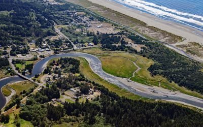
Copalis River, Copalis Beach
The Copalis River flows southwest for 22 miles (35 km) to the community of Copalis Beach, then another 2 miles (3.2 km) to the Pacific Ocean at Griffith-Priday State Park, about 21 miles (34 km) northwest of Hoquiam and 5 miles (8 km) south of Pacific Beach, Washington.
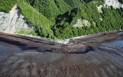
Cottonwood Creek, Kachemak Bay
Cottonwood Creek is a stream on the Kenai Peninsula in Kachemak Bay State Park that flows south for about 2 miles (3.2 km) to the northern shore of Kachemak Bay, about 13 miles (21 km) northeast of Homer and 6 miles (10 km) southwest of Voznesenka, Alaska.
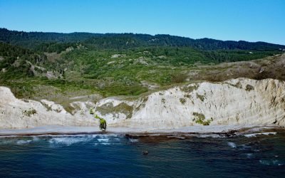
Alamere Falls, Point Reyes National Seashore
Alamere Falls is located in the Phillip Burton Wilderness of Point Reyes National Seashore, about 6 miles (10 km) south of Olema and 6.4 miles (10.3 km) northwest of Bolinas, California.
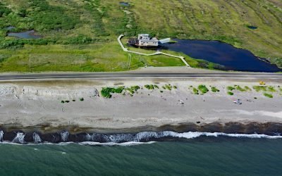
Swanberg Dredge, Rocker Gulch
Swanberg Dredge is a historic placer mining machine, located in a small artificial pond at Rocker Gulch, that once extracted gold from sand and gravel on the Seward Peninsula, about 18 miles (29 km) west of Safety and 1 mile (1.6 km) east of Nome, Alaska.
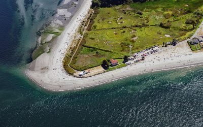
Point No Point, Admiralty Inlet
Point No Point is a sand spit on the northern end of the Kitsap Peninsula, between Norwegian Point to the northwest and Pilot Point to the southeast, near the southern end of Admiralty Inlet that connects the Salish Sea with Puget Sound, about 8 miles (13 km) north of Kingston and 1.3 miles (2.1 km) southeast of Hansville, Washington.
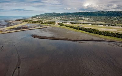
Mud Bay, Kachemak Bay
Mud Bay is a tidal flat about 0.6 miles (1 km) wide, partially enclosed by sand spits and situated at the sheltered base of the Homer Spit on the northwest shore of Kachemak Bay, about 2.7 miles (4 km) southwest of Millers Landing and 1.5 miles (2.4 km) southeast of Homer, Alaska.
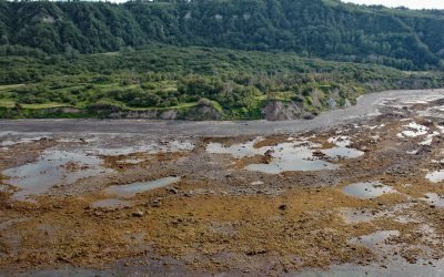
Bluff Point, Kachemak Bay
Bluff Point is a prominent headland near the north shore entrance to Kachemak Bay with an elevation ranging from approximately 300 to 700 feet (100 to 215 m), about 12 miles (19 km) southeast of Anchor Point and 4 miles (6 km) west of Homer, Alaska.
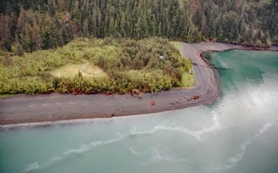
Shepard Point, Orca Inlet
Shepard Point is an alluvial fan on the eastern shore of Orca Inlet in Prince William Sound at Nelson Bay, which is an estuary mostly formed by the Rude River, about 41 miles (66 km) southeast of Valdez and 7 miles (11.3 km) north-northeast of Cordova, Alaska.
About the background graphic
This ‘warming stripe’ graphic is a visual representation of the change in global temperature from 1850 (top) to 2019 (bottom). Each stripe represents the average global temperature for one year. The average temperature from 1971-2000 is set as the boundary between blue and red. The colour scale goes from -0.7°C to +0.7°C. The data are from the UK Met Office HadCRUT4.6 dataset.
Click here for more information about the #warmingstripes.