
Beaches
Recent Articles
More Articles
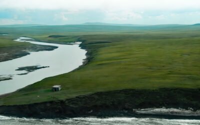
Pitmegea River, Cape Sabine
The Pitmegea River originates at an elevation of about 1,300 feet (396 meters) in the De Long Mountains of the western Brooks Range, and flows northwest for 37 miles (60 kilometers) to the Chukchi Sea at Cape Sabine, about 70 miles (113 kilometers) south-southwest of Point Lay and 66 miles (106 kilometers) northeast of Point Hope, Alaska.
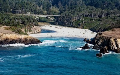
Jug Handle Cove, Ecological Staircase
Jug Handle Cove is a California State Natural Preserve made up of a series of ancient marine terraces, known as the Ecological Staircase, which exhibit different stages of ecological succession at the mouth of Jug Handle Creek, about 5 miles (8 km) south of Fort Bragg and 5 miles (8 km) north of Mendocino, California.
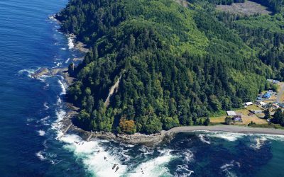
Slip Point, Clallam Bay
Slip Point sits on the southern shore of the Strait of Juan de Fuca at the eastern end of Clallam Bay on the Olympic Peninsula, about 39 miles (63 km) west-northwest of Port Angeles and 0.7 miles (1 km) northeast of the community of Clallam Bay, Washington.
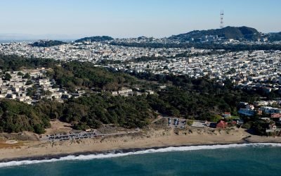
Lobos Creek, Baker Beach
Lobos Creek is a stream in the Presidio of San Francisco, draining urban runoff and underground springs and flowing intermittently west for 1 mile (1.6 km) from near Mountain Lake to the Pacific Ocean between Baker Beach and China Beach, about 5 miles (8 km) west of downtown San Francisco and at Sea Cliff, California.
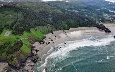
Crescent Beach, Ecola State Park
Crescent Beach lies between Ecola Point and Chapman Point in Ecola State Park, about 20 miles (32 km) south-southwest of Astoria and 2 miles (3.2 km) north-northwest of Cannon Beach, Oregon. It is accessible via a 1.5‑mile (2.4‑km) trail from Ecola Point.
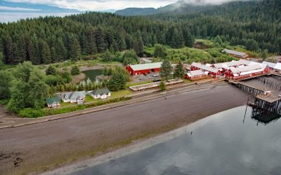
Icy Strait Point, Port Frederick
Icy Strait Point is a restored historic salmon cannery situated on Cannery Point, on the south shore of Icy Strait and on the eastern shore at the mouth of Port Frederick, a deep embayment on the northeast coast of Chichagof Island, about 22 miles (35 km) south-southeast of Gustavus and 1.6 miles (2.6 km) north-northwest of Hoonah, Alaska.
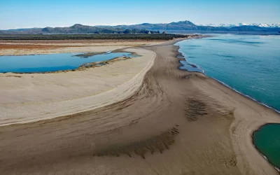
Strawberry Hill, Point Bentinck
Strawberry Hill is a series of uplifted beach ridges on Point Bentinck, at the eastern tip of Hinchinbrook Island and the southern entrance to Strawberry Channel, which separates the island from the mainland, about 53 miles (85 km) south of Valdez and 17 miles (27 km) southwest of Cordova, Alaska.
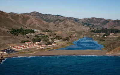
Fort Cronkhite, Marin Headlands
Fort Cronkhite, on the Marin Headlands, is a historic US Army facility that supported Battery Townsley, part of San Francisco Bay’s coastal artillery during World War II, about 8 miles southwest of Stinson Beach and 8 miles west-northwest of San Francisco, California.
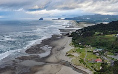
Winema Beach, Oretown
Winema Beach, a coastal strip adjacent to Winema Lake, was once the site of a town platted as Wi‑Ne‑Ma near Oretown in southern Tillamook County, about 15 miles (24 km) north of Lincoln City and 4 miles (6 km) south of Pacific City, Oregon.
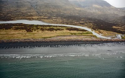
Kanatak, Portage Bay
Kanatak is an uninhabited Alutiiq community of the Native Tribe of Kanatak located at the head of Portage Bay, on the Pacific coast of the Alaska Peninsula, about 136 miles (219 km) west-southwest of Kodiak and 65 miles (105 km) southeast of Egegik, Alaska.
About the background graphic
This ‘warming stripe’ graphic is a visual representation of the change in global temperature from 1850 (top) to 2019 (bottom). Each stripe represents the average global temperature for one year. The average temperature from 1971-2000 is set as the boundary between blue and red. The colour scale goes from -0.7°C to +0.7°C. The data are from the UK Met Office HadCRUT4.6 dataset.
Click here for more information about the #warmingstripes.