
British Columbia
Recent Articles
More Articles
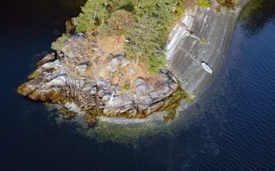
Octopus Point, Sansum Narrows
Octopus Point is a headland on the western shore of Sansum Narrows between Maple Bay on Vancouver Island to the west and Burgoyne Bay on Saltspring Island to the east, about 27 miles (44 km) north-northwest of Victoria and 2.5 miles (4 km) southeast of Maple Bay, British Columbia.
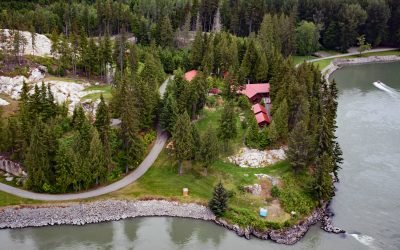
Graveyard Point, Skeena River
Graveyard Point is a historical steamboat landing and telegraph station near the confluence of the Shames River and the Skeena River, about 58 miles (94 km) east of Prince Rupert and 14 miles (23 km) southwest of Terrace, British Columbia.
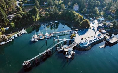
Fulford Harbour, Salt Spring Island
Fulford Harbour is an embayment and a small community on the southeast coast of Salt Spring Island, about 39 miles (63 km) southwest of Vancouver and 9 miles (14.5 km) north-northwest of Sidney, British Columbia.
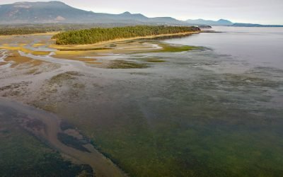
Willy Island, Halalt Island Indian Reserve
Willy Island is the largest of the Shoal Islands located just off the mouth of the Chemainus River on the southeast coast of Vancouver Island, about 36 miles (58 km) southwest of Vancouver and 21 miles (34 km) northwest of Sidney, British Columbia.
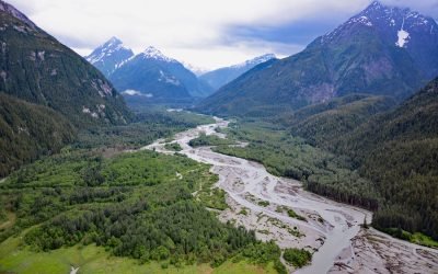
Kshwan River, Hastings Arm
Kshwan River is at the head of Hastings Arm, about 95 miles (153 km) north-northeast of Prince Rupert and 22 miles (35 km) south-southeast of Stewart, British Columbia.
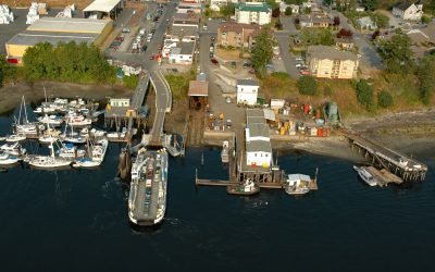
Chemainus, Stuart Channel
Chemainus is a community founded as a logging town in 1858 on the western shore of Stuart Channel located on the east coast of southern Vancouver Island, about 36 miles (58 km) southwest of Vancouver and 24 miles (39 km) northwest of Sidney, British Columbia.
About the background graphic
This ‘warming stripe’ graphic is a visual representation of the change in global temperature from 1850 (top) to 2019 (bottom). Each stripe represents the average global temperature for one year. The average temperature from 1971-2000 is set as the boundary between blue and red. The colour scale goes from -0.7°C to +0.7°C. The data are from the UK Met Office HadCRUT4.6 dataset.
Click here for more information about the #warmingstripes.