
British Columbia
Recent Articles
More Articles
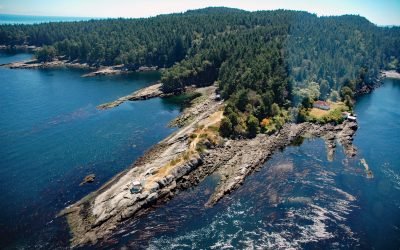
Porlier Pass, Galiano Island
Porlier Pass separates Galiano and Valdes Islands in the Southern Gulf Islands of Georgia Strait, about 28 miles (45 km) southwest of Vancouver and 10 miles (16 km) east-northeast of Ladysmith, British Columbia.
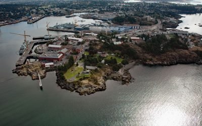
Esquimalt Harbour, Vancouver Island
Esquimalt Harbour is a sheltered embayment on the southern tip of Vancouver Island, about 21 miles (34 km) north of Port Angeles, Washington and 3 miles (4.8 km) west-northwest of downtown Victoria, British Columbia.
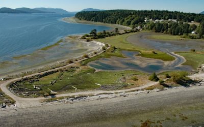
Penelakut Island, Trincomali Channel
Penelakut Island is located in the southern Gulf Islands between Vancouver Island and the mainland Pacific coast, about 40 miles (65 km) north-northwest of Victoria and 32 miles (52 km) southwest of Vancouver, British Columbia.
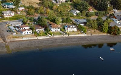
Maple Bay, Sansum Narrows
Maple Bay is a community located on Sansum Narrows, a narrow inlet in the Salish Sea that separates Vancouver Island from Salt Spring Island, about 29 miles (47 km) northwest of Victoria and 28 miles (45 km) southeast of Nanaimo, British Columbia.
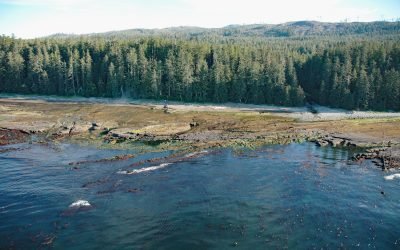
Michigan Creek, Pacific Rim National Park Reserve
Michigan Creek starts at an elevation of 1400 feet (427 m) and flows generally south for 4 miles (6.4 km) through the coast mountains on Vancouver Island and enters the Pacific Ocean in the Pacific Rim National Park Reserve 1 mile (1.6 km) east of the Pachena Point Light Station, about 81 miles (130 km) west-northwest of Victoria and 8.5 miles (14 km) southeast of Bamfield, British Columbia.
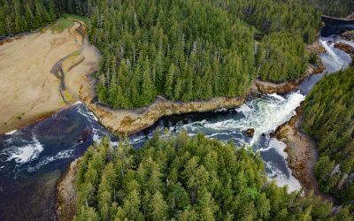
Salt Lagoon, Porcher Inlet
Salt Lagoon is situated at the southwestern base of the Spiller Range on Porcher Island and is connected by a tidal channel 1.8 miles (2.9 km) long to Porcher Inlet that extends 11 miles (81 km) from the south and nearly bisects the island, about 15 miles (24 km) north-northeast of Kitkatla and 5 miles (8 km) northwest of Oona River, British Columbia.
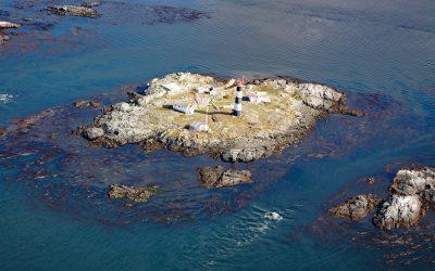
Race Rocks, Strait of Juan de Fuca
Race Rocks is a group of nine islets including North Rock, West Race, Great Race, and Rosedale Rock located about 1 mile (1.6 km) off Cape Calver on the southern tip of Vancouver Island in the Strait of Juan de Fuca, about 12 miles (19 km) southwest of Victoria and 11 miles (18 km) southeast of Sooke, British Columbia.
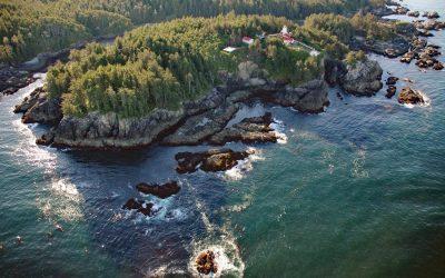
Cape Beale, Barkley Sound
Cape Beale is the site of a historic lighthouse marking the southern entrance to Barkley Sound on the west coast of Vancouver Island in Pacific Rim National Park Reserve, about 89 miles (143 km) west-northwest of Victoria and 4.7 miles (7.6 km) southwest of Bamfield, British Columbia.
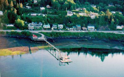
Daajing Giids, Graham Island
Daajing Giids was historically known as the village of Queen Charlotte and is situated on the northern shore of Skidegate Inlet on Graham Island in the Haida Gwaii archipelago, about 104 miles (167 km) southwest of Prince Rupert and 52 miles (84 km) south of Masset, British Columbia.

False Narrows, Gabriola Island
False Narrows is a waterway between 10 and 30 feet (3-9 m) deep, navigable only by small boats and with local knowledge, and about 1.3 miles (2 km) long that separates Gabriola Island to the north from Mudge Island to the south, about 37 miles (60 km) northwest of Sidney and 8 miles (13 km) southeast of Nanaimo, British Columbia.
About the background graphic
This ‘warming stripe’ graphic is a visual representation of the change in global temperature from 1850 (top) to 2019 (bottom). Each stripe represents the average global temperature for one year. The average temperature from 1971-2000 is set as the boundary between blue and red. The colour scale goes from -0.7°C to +0.7°C. The data are from the UK Met Office HadCRUT4.6 dataset.
Click here for more information about the #warmingstripes.