
British Columbia
Recent Articles
More Articles
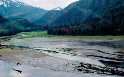
Kiltuish River, Gardner Canal
Kiltuish River originates in the Kitimat Ranges and flows about 16 miles (25 km) north to the Pacific Ocean at Kiltuish Inlet, an arm of Gardner Canal, about 103 miles (166 km) southeast of Prince Rupert and 51 miles (82 km) south of Kitimat, British Columbia.
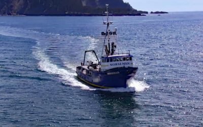
FV Norseman, Princess Royal Channel
The fishing vessel Norseman sank in June 1978 in Princess Royal Channel, approximately 11 miles (18 km) southeast of Butedale and 115 miles (185 km) southeast of Prince Rupert, British Columbia.
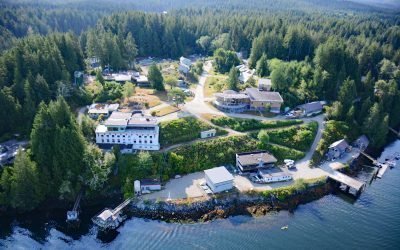
Bamfield, Barkley Sound
Bamfield is a community located on Barkley Sound on the west coast of Vancouver Island, 32 miles (52 km) southwest of Port Alberni and 20 miles (32 km) southeast of Ucluelet, British Columbia.
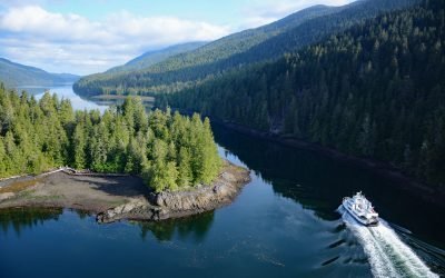
Tuck Narrows, Tuck Inlet
Tuck Narrows is located at the head of Tuck Inlet, about 6 miles (9.7 km) northeast of Prince Rupert, British Columbia.
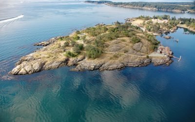
Quarantine Cove, William Head
Quarantine Cove is a bight on the northern shore of William Head, a peninsula near the southern tip of Vancouver Island on the north coast of the Strait of Juan de Fuca, located between Pedder Bay to the south and Parry Bay to the north, approximately 9.7 miles (15.6 km) east-southeast of Sooke and 9.6 miles (15.5 km) southwest of Victoria, British Columbia.
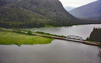
Skeena City, Khyex River
Skeena City is an abandoned community on the north shore of the Skeena River, at the mouth of the Khyex River, 22 miles (35 km) south-southeast of Prince Rupert, and 52 miles (84 km) southwest of Terrace, British Columbia.
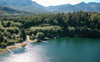
Daykins Bay, Nitinat Lake
Daykins Bay is on the southeastern shore of Nitinat Lake, approximately 7 miles (11 km) northeast of the outlet at Whyac and 6 miles (10 km) southwest from the Ditidaht village of Malachan, British Columbia.
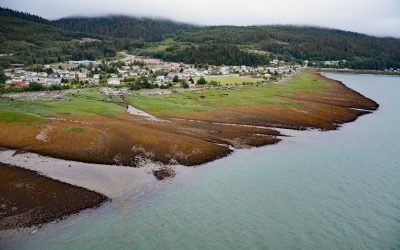
Kitamaat Village, Kitimat Arm
Kitamaat Village is located on the eastern shore of the Kitimat Arm extension of Douglas Channel, about 71 miles (115 km) southeast of Prince Rupert and 6 miles (10 km) south of the community of Kitimat, British Columbia.
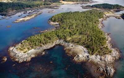
Bentinck Island, Cape Calver
Bentinck Island is situated between Cape Calver and Race Rocks in the Strait of Juan de Fuca, approximately 10 miles (16 km) southeast of Sooke and 11 miles (18 km) southwest of Victoria, British Columbia.
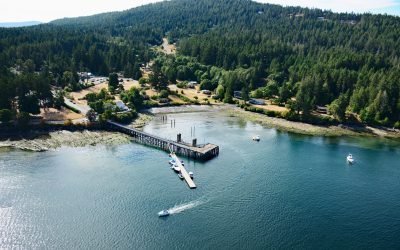
Miners Bay, Mayne Island
Miners Bay is located on Mayne Island, on the southeast side of Active Pass which separates Galiano and Mayne Islands, about 14.5 miles (23 km) north-northeast of Sidney, British Columbia.
About the background graphic
This ‘warming stripe’ graphic is a visual representation of the change in global temperature from 1850 (top) to 2019 (bottom). Each stripe represents the average global temperature for one year. The average temperature from 1971-2000 is set as the boundary between blue and red. The colour scale goes from -0.7°C to +0.7°C. The data are from the UK Met Office HadCRUT4.6 dataset.
Click here for more information about the #warmingstripes.