
British Columbia
Recent Articles
More Articles
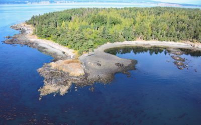
D’Arcy Island, Southern Gulf Islands
D’Arcy Island, part of the Southern Gulf Islands in Haro Strait, covers approximately 205 acres (83 hectares), about 30 miles (48 km) west of Anacortes and 10 miles (16 km) north-northeast of Victoria, British Columbia.
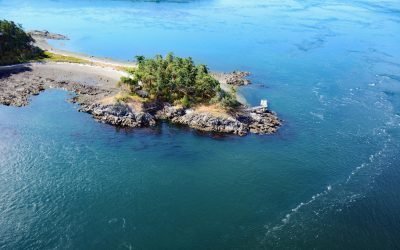
HMCS Mackenzie, Cornet Island
HMCS Mackenzie was a destroyer scuttled in Haro Strait, between Cornet and Gooch Islands in the Southern Gulf Islands, approximately 18 miles (29 km) north-northeast of Victoria and 5 miles (8 km) east-northeast of Sidney, British Columbia.

Canadian Fishing Company, Prince Rupert
The Canadian Fishing Company operates fish processing plants on Prince Rupert Harbour at Seal Cove and at George Hills Way, about 89 miles (143 km) southeast of Ketchikan and 72 miles (116 km) west-southwest of Terrace, British Columbia.

Claxton, Telegraph Passage
Claxton is a historical salmon cannery and community at the mouth of Claxton Creek on the eastern shore of Telegraph Passage in the Skeena River estuary, about 66 miles (106 km) southwest of Terrace and 19 miles (31 km) south-southeast of Prince Rupert, British Columbia.
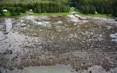
Osland, Smith Island
Osland was once an active fishing and boatbuilding community on the east coast of Smith Island at the mouth of the Skeena River, about 68 miles (109 km) southwest of Terrace and 14 miles (23 km) south-southeast of Prince Rupert, British Columbia.

Carlisle Cannery, Skeena River
Carlisle is a historical remote salmon cannery on the east bank at the mouth of the Skeena River, about 66 miles (106 km) southwest of Terrace and 17 miles (27 km) southeast of Prince Rupert, British Columbia.

Kitkatla, Dolphin Island
Kitkatla is a small Tsimshian village on the north coast of Dolphin Island approximately 28 miles (45 km) southwest of Prince Rupert, British Columbia.
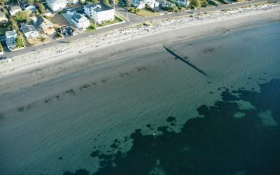
Willows Beach, Oak Bay
Willows Beach is a beachfront neighborhood between Bowker Creek and Cattle Point at the head of Oak Bay in Victoria, British Columbia.
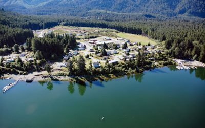
Malachan, Nitinat Lake
Malachan is a Ditidaht community of the Nuu-chah-nulth First Nation located at the head of Nitinat Lake on the west coast of Vancouver Island, 37 miles (60 km) southeast of Bamfield, and 93 miles (150 km) northwest by road from Victoria, British Columbia.
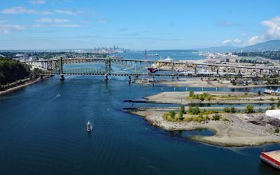
Seymour River, Burrard Inlet
The Seymour River flows from a large reservoir into Burrard Inlet in North Vancouver, British Columbia.
About the background graphic
This ‘warming stripe’ graphic is a visual representation of the change in global temperature from 1850 (top) to 2019 (bottom). Each stripe represents the average global temperature for one year. The average temperature from 1971-2000 is set as the boundary between blue and red. The colour scale goes from -0.7°C to +0.7°C. The data are from the UK Met Office HadCRUT4.6 dataset.
Click here for more information about the #warmingstripes.