
California
Recent Articles
More Articles
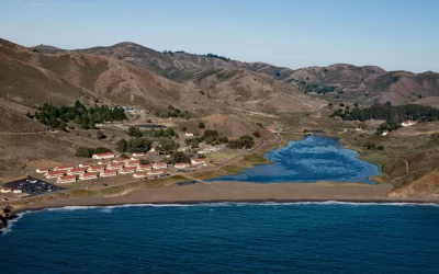
Fort Cronkhite, Marin Headlands
Fort Cronkhite, on the Marin Headlands, is a historic US Army facility that supported Battery Townsley, part of San Francisco Bay’s coastal artillery during World War II, about 8 miles southwest of Stinson Beach and 8 miles west-northwest of San Francisco, California.
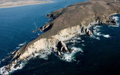
Tomales Point, Point Reyes National Seashore
Tomales Bluff is a headland forming the northern tip of Tomales Point in Point Reyes National Seashore National Seashore, about 45 miles (72 km) northwest of San Francisco and 7 miles (11 km) south-southeast of Bodega Bay, California.
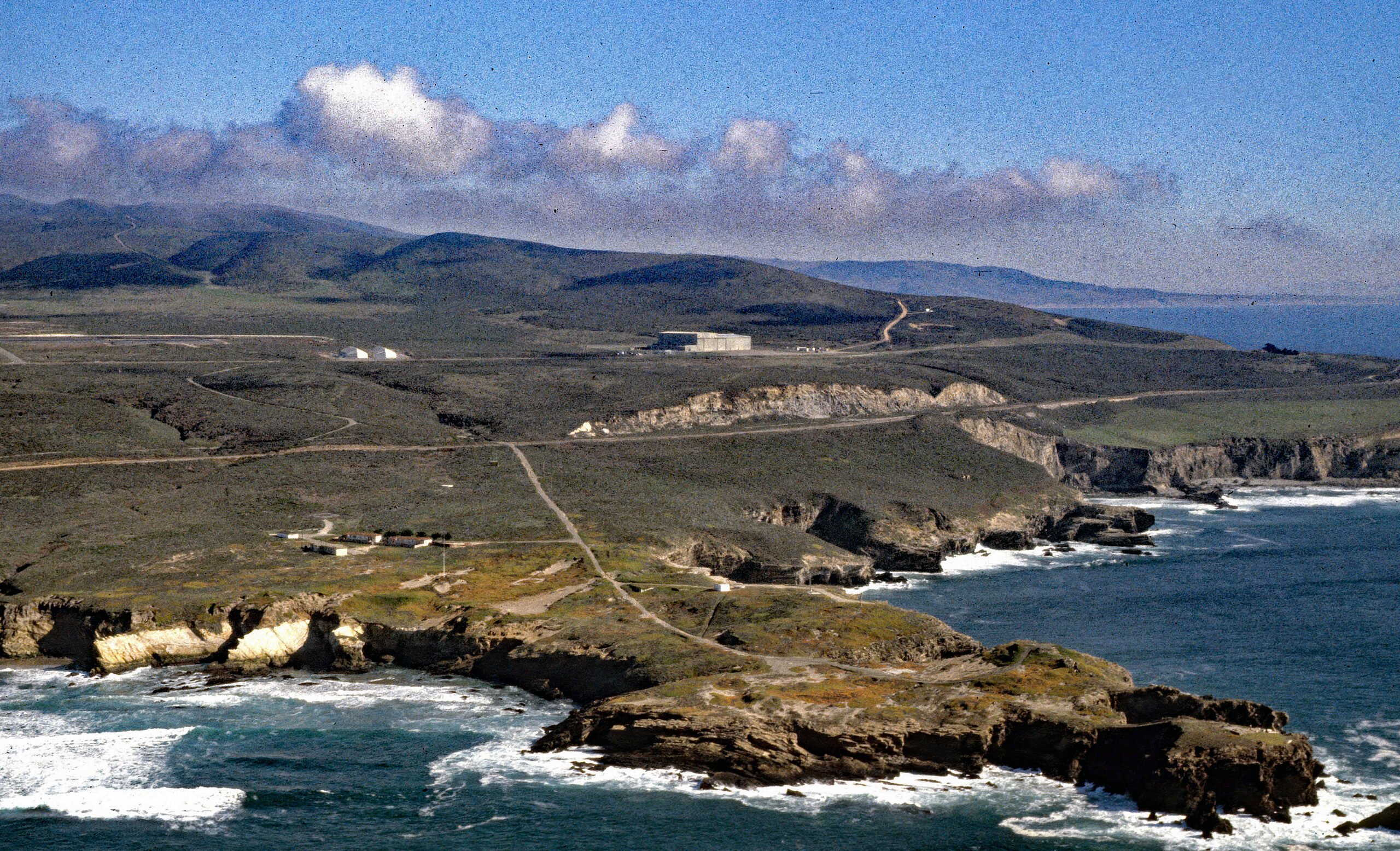
Point Arguello, Vandenberg Space Launch Complex
Point Arguello is a prominent headland and the site of Vandenberg Space Launch Complex, as well as a historical cattle ranch, lighthouse station, and a Loran station, about 55 miles (89 km) west-northwest of Santa Barbara and 12 miles (19 km) southwest of Lompoc, California.
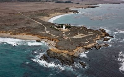
Point Piedras Blancas, San Simeon
Point Piedras Blancas is a prominent headland and the site of a historic light station within the California Coastal National Monument, and surrounded by the Hearst San Simeon State Park, about 73 miles (117 km) south-southeast of Monterey and 6 miles (10 km) west-northwest of San Simeon, California.
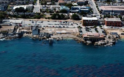
Cannery Row, Monterey
Cannery Row is the Monterey waterfront between San Carlos Beach and Cabrillo Beach, or between the Monterey Harbor Marina and the Monterey Bay Aquarium, where several historical Pacific sardine canneries once operated, about 25 miles (40 km) south-southeast of Santa Cruz and 1 mile (1.6 km) southeast of Pacific Grove, California.
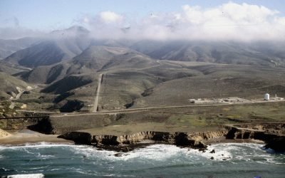
La Honda Canyon, Point Pedernales
La Honda Canyon is a valley formed by Cañada Honda Creek that enters the Pacific Ocean 0.4 miles (0.6 km) near Woodbury Rocks north of Point Pedernales, about 56 miles (90 km) west-northwest of Santa Barbara and 11 miles (18 km) west-southwest of Lompoc, California.
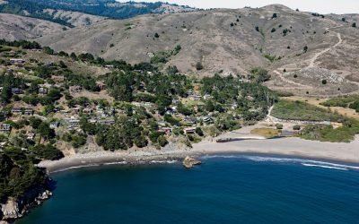
Muir Beach, Marin Peninsula
Muir Beach is a small community situated on the west coast of the Marin Peninsula overlooking the Pacific Ocean, with the adjacent sand beach in the Golden Gate National Recreation Area, about 11 miles (18 km) northwest of San Francisco and 5 miles (8 km) southeast of Stinson Beach, California.
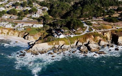
Point Montara Lighthouse, Montara
Point Montara Lighthouse is located in the coastal community of Montara, about 18 miles (29 km) south-southwest of San Francisco and 7 miles (11 km) northwest of Half Moon Bay, California.
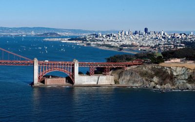
Fort Point, Golden Gate
Fort Point is a promontory where a historic masonry fortification, and later the southern approach of the Golden Gate Bridge, were constructed on the south side of the Golden Gate at the entrance to San Francisco Bay, about 4 miles (6 km) west-northwest of downtown San Francisco and 3 miles (5 km) south of Sausalito, California.
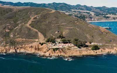
Point San Luis Light Station, Avila Beach
Point San Luis is the site of a historic light station on a peninsula formed by San Luis Hill, a headland with an elevation of 708 feet (216 m), that provides a sheltered harbor for Port San Luis and the community of Avila Beach on San Luis Obispo Bay, about 118 miles (190 km) south-southeast of Monterey and 7 miles (11 km) west-northwest of Pismo Beach, California.
About the background graphic
This ‘warming stripe’ graphic is a visual representation of the change in global temperature from 1850 (top) to 2019 (bottom). Each stripe represents the average global temperature for one year. The average temperature from 1971-2000 is set as the boundary between blue and red. The colour scale goes from -0.7°C to +0.7°C. The data are from the UK Met Office HadCRUT4.6 dataset.
Click here for more information about the #warmingstripes.