
California
Recent Articles
More Articles
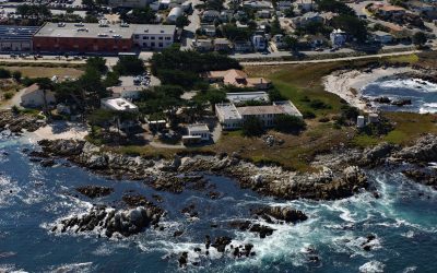
Hopkins Marine Station, Point Cabrillo
Hopkins Marine Station is a laboratory of Stanford University located on Point Cabrillo in Monterey Bay and adjacent to the Monterey Bay Aquarium in Pacific Grove, about 14 miles (23 km) south-southwest of Moss Landing and 1.5 miles (2.4 km) north-northwest of Monterey, California.
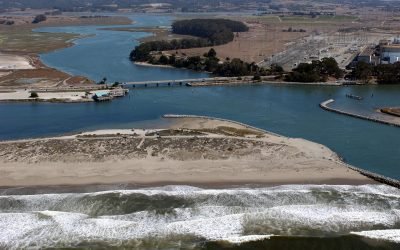
Elkhorn Slough, Moss Landing
Elkhorn Slough is an estuary about 7 miles (11 km) long that connects with Monterey Bay at the community of Moss Landing, about 17 miles (27 km) southeast of Santa Cruz and 16 miles (26 km) north-northeast of Monterey, California.
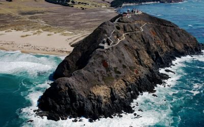
Point Sur Light Station, Big Sur
Point Sur Light Station is situated on a prominent volcanic rock just offshore from the Big Sur coast, and connected to the mainland by a sandy tombolo, about 60 miles (97 km) northwest of San Simeon and 20 miles (32 km) south of Monterey, California.
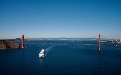
The Golden Gate, San Francisco Bay
The Golden Gate is a turbulent strait about 1 mile (1.6 km) wide, between Lime Point to the north and Fort Point to the south, that connects San Francisco Bay to the Pacific Ocean, about 4 miles (6.4 km) west-northwest of downtown San Francisco and 2.2 miles (3.5 km) south of Sausalito, California.
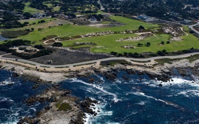
Point Pinos, Pacific Grove
Point Pinos is in the community of Pacific Grove at the northern end of the Monterey Peninsula and is the location of the oldest continuously operated lighthouse on the U.S. west coast, about 24 miles (39 km) south-southeast of Santa Cruz and 3 miles (4.8 km) northwest of Monterey, California.
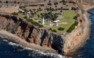
Point Vicente, Palos Verdes Peninsula
Point Vicente is on the Palos Verdes Peninsula between Long Point to the southeast and Resort Point to the northwest, about 20 miles (32 km) south-southeast of Santa Monica and 12.5 miles (20 km) west of Long Beach, California.
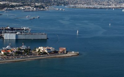
Ballast Point, San Diego Bay
Ballast Point is a peninsula that extends northwest for 0.44 miles (0.7 km) from the Point Loma Peninsula at the mouth of San Diego Bay, about 11 miles (18 km) south of La Jolla and 4 miles (6 km) southwest of downtown San Diego, California.
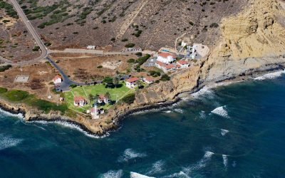
Point Loma Light, San Diego
New Point Loma Light is a station at the southern tip of Point Loma, a peninsula with a prominent headland that forms the western shore of San Diego Bay, about 12 miles (19 km) south of La Jolla and 5.6 miles (9 km) southwest of downtown San Diego, California.
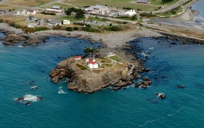
Battery Point, Crescent City
Battery Point forms the western shore of a crescent-shaped bight, and the harbor for Crescent City, about 22 miles (35 km) south-southeast of Brookings and 66 miles (106 km) north of Eureka, California.
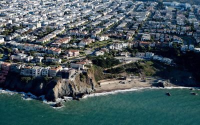
China Beach, San Francisco
China Beach is a small sandy cove on the South Bay of the Golden Gate tucked between Lands End and Baker Beach, once used as a campsite by Chinese fishermen, about 7 miles (11 km) north of Daly City and 5 miles (8 km) west of downtown San Francisco, California.
About the background graphic
This ‘warming stripe’ graphic is a visual representation of the change in global temperature from 1850 (top) to 2019 (bottom). Each stripe represents the average global temperature for one year. The average temperature from 1971-2000 is set as the boundary between blue and red. The colour scale goes from -0.7°C to +0.7°C. The data are from the UK Met Office HadCRUT4.6 dataset.
Click here for more information about the #warmingstripes.