
Communities
Recent Articles
More Articles
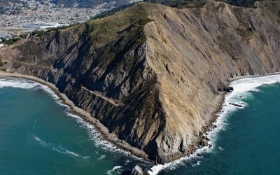
Point San Pedro, Pacifica
Point San Pedro forms the northwestern extent of Pedro Point Headland on San Pedro Mountain which reaches an elevation of about 624 feet (190 m) and has steep cliffs on both the northern and southern flanks, and forms the southern slope of the San Pedro Creek watershed, about 3.6 miles (5.8 km) north of Montara and the southern municipal boundary of Pacifica, California.
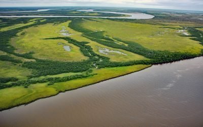
Eek River, Kuskokwim Delta
Eek River drains a watershed of 408,959 acres (165,500 ha) and flows generally west-northwest for 108 miles (174 km) to the Kuskokwim Delta, about 40 miles (64 km) south-southwest of Bethel and 32 miles (51 km) north of Quinhagak, Alaska.
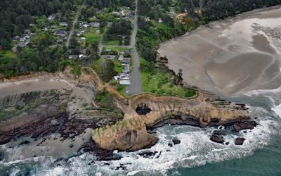
Devils Punchbowl, Otter Rock
Devils Punchbowl is a collapsed sea cave or littoral sinkhole located on a headland in Devils Punchbowl State Natural Area at the community of Otter Rock, about 8 miles (13 km) north of Newport and 5 miles (8 km) south of Depoe Bay, Oregon.

Brentwood Bay, Saanich Inlet
Brentwood Bay is a community within the municipality of Central Saanich on the eastern shore of Saanich Inlet, about 11 miles (18 km) north-northwest of the city of Victoria and 6 miles (10 km) south-southwest of Sidney, British Columbia.
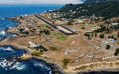
Shelter Cove, Point Delgada
Shelter Cove is an isolated community on Point Delgada on the Lost Coast between Deadman Gulch to the south and Telegraph Creek to the north, about 54 miles (87 km) south of Eureka and 43 miles (69 km) north-northwest of Fort Bragg, California.
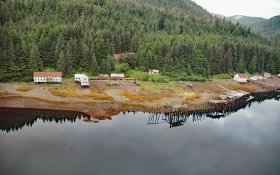
Chatham Cannery, Sitkoh Bay
Chatham is a historical salmon cannery and village on the west shore of Sitkoh Bay on Chichagof Island in the Alexander Archipelago of Southeast Alaska, about 58 miles (93 km) south-southwest of Juneau and 13 miles (21 km) west of Angoon, Alaska.
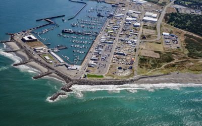
Westport, Point Chehalis
Westport is a community located on Point Chehalis, a peninsula between South Bay and the Pacific Ocean that partially encloses Grays Harbor from the south, about 53 miles (85 km) north-northwest of Astoria and 15 miles (24 km) west-southwest of Aberdeen, Washington.
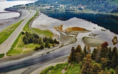
Nanwalek, English Bay
Nanwalek is a community on English Bay, a small embayment on the eastern shore of lower Cook Inlet at the southern entrance to Port Graham on the Kenai Peninsula, about 24 miles (38 km) southwest of Homer and 3.4 miles (5.5 km) west of the village of Port Graham, Alaska.
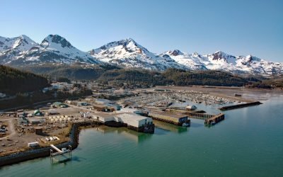
Cordova, Orca Inlet
Cordova is a community on the southeastern shore of Orca Inlet across from Hawkins Island in eastern Prince William Sound, about 100 miles (160 km) east-southeast of Whittier and 45 miles (72 km) south-southeast of Valdez, Alaska.
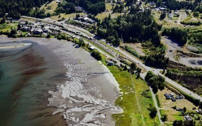
Blyn, Sequim Bay
Blyn is a small community located where Jimmycomelately Creek flows into Sequim Bay on the northern coast of the Olympic Peninsula, about 13 miles (21 km) southwest of Port Townsend and 7 miles (11 km) southeast of Sequim, Washington.
About the background graphic
This ‘warming stripe’ graphic is a visual representation of the change in global temperature from 1850 (top) to 2019 (bottom). Each stripe represents the average global temperature for one year. The average temperature from 1971-2000 is set as the boundary between blue and red. The colour scale goes from -0.7°C to +0.7°C. The data are from the UK Met Office HadCRUT4.6 dataset.
Click here for more information about the #warmingstripes.