
Communities
Recent Articles
More Articles
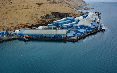
Trident Seafoods, Akutan Island
Trident Seafoods operates the largest seafood processing facility in North America on Akutan Island, one of the Krenitzen Islands in the Fox Island group of the Eastern Aleutians, about 750 miles (1210 km) southwest of Anchorage and 36 miles (58 km) northeast of Dutch Harbor, Alaska.
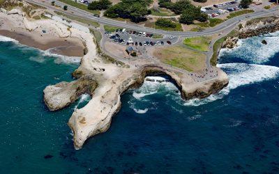
Lighthouse Point Park, Point Santa Cruz
Lighthouse Point Park is located on Point Santa Cruz, adjacent to Lighthouse Field State Beach at the northern boundary of Monterey Bay, about 25 miles (40 km) north-northwest of Monterey and in Santa Cruz, California.
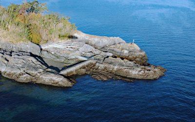
Cormorant Point, Gordon Head
Cormorant Point is a headland between Cordova Bay and Margaret Bay in Saanich’s Gordon Head neighborhood, about 11 miles (18 km) south-southeast of Sidney and 5.5 miles (8.9 km) north-northeast of Victoria, British Columbia.
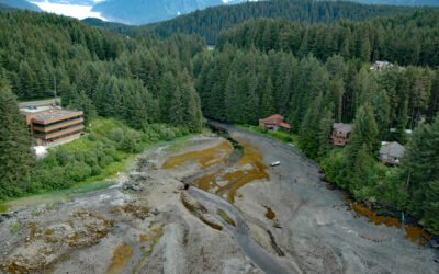
Auke Creek, Mendenhall Peninsula
Auke Creek lies on the west coast of the Mendenhall Peninsula at the head of Auke Bay—a three‐mile (5 km) inlet at the northern end of Stephens Passage, about 66 miles (106 km) south‐southeast of Haines and 10 miles (16 km) northwest of Juneau, Alaska.
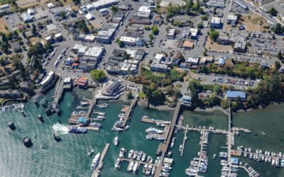
Friday Harbor, San Juan Island
Friday Harbor is a community at the head of a protected embayment on the eastern coast of San Juan Island, the archipelago’s second-largest and most populous island, about 18 miles (29 km) northeast of Victoria and 18 miles (29 km) west of Anacortes, Washington.
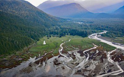
Kitsault River, Alice Arm
Kitsault River drains a watershed area of about 113,668 acres (46,000 ha), including the Kitsault Glacier that flows out of the Cambria Icefield and several smaller glaciers, and flows generally south for 23 miles (37 km) through the Coast Mountains to the head of Alice Arm, about 37 miles (60 km) south-southeast of Stewart and 1.7 miles (2.7 km) north-northwest of Kitsault, British Columbia.
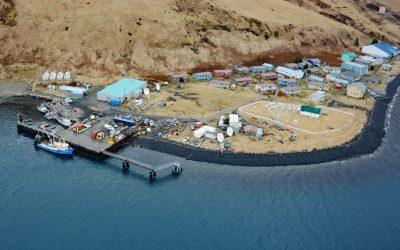
Akutan Village, Akutan Island
Akutan is a community on the northern shore of Akutan Harbor, on Akutan Island, one of the Krenitzin Islands in the Fox Islands group of the Eastern Aleutians, about 766 miles (1,233 km) southwest of Anchorage and 35 miles (56 km) east of Unalaska, Alaska.
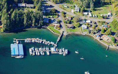
Grapeview, Case Inlet
Grapeview is a community that includes Allyn, Stretch Island, and Reach Island located on the western shore at the head of Case Inlet in South Puget Sound, about 19 miles (31 km) west-northwest of Tacoma and 16 miles (26 km) northeast of Shelton, Washington.
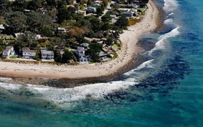
Rincon Creek, Santa Barbara Channel
Rincon Creek is a stream that begins in the Santa Ynez Mountains near Divide Peak, at an elevation of 4,800 feet (1,463 m), and drains a watershed of 9,352 acres (3,785-ha) while flowing generally south for 10 miles (16 km) to the Santa Barbara Channel at Rincon Point, about 12 miles (19 km) northwest of Ventura and 3 miles (5 km) southeast of Carpinteria, California.
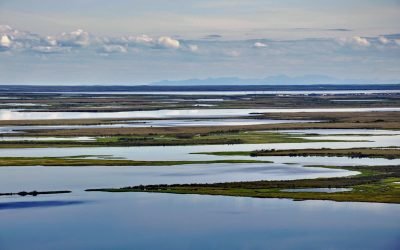
Selawik River, Kotzebue Sound
The Selawik River is about 140 miles (226 km) long, originating in the Purcell Mountains near the Zane Hills, and flows generally west through the Selawik National Wildlife Refuge to Selawik Lake that drains into Hotham Inlet on Kotzebue Sound, about 65 miles (105 km) southeast of Kotzebue and 9 miles (14.5 km) west of the village of Selawik, Alaska.
About the background graphic
This ‘warming stripe’ graphic is a visual representation of the change in global temperature from 1850 (top) to 2019 (bottom). Each stripe represents the average global temperature for one year. The average temperature from 1971-2000 is set as the boundary between blue and red. The colour scale goes from -0.7°C to +0.7°C. The data are from the UK Met Office HadCRUT4.6 dataset.
Click here for more information about the #warmingstripes.