
Communities
Recent Articles
More Articles
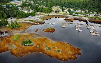
Thorne Bay, Prince of Wales Island
Thorne Bay is a small community, and an estuary of the Thorne River on the eastern coast of Prince of Wales Island, the largest of approximately 1,100 islands interspersed by marine channels in the Alexander Archipelago of Southeast Alaska, about 55 miles (89 km) southwest of Wrangell and 42 miles (68 km) northwest of Ketchikan, Alaska.
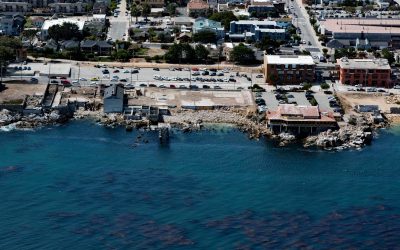
Cannery Row, Monterey
Cannery Row is the Monterey waterfront between San Carlos Beach and Cabrillo Beach, or between the Monterey Harbor Marina and the Monterey Bay Aquarium, where several historical Pacific sardine canneries once operated, about 25 miles (40 km) south-southeast of Santa Cruz and 1 mile (1.6 km) southeast of Pacific Grove, California.
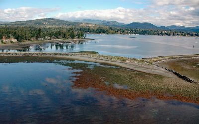
Sooke Harbour, Strait of Juan de Fuca
Sooke is a community on the western shore of Sooke Harbour, a narrow natural embayment separated from the Strait of Juan de Fuca by Whiffin Spit, about 35 miles (56 km) southwest of Port Renfrew and 17 miles (27 km) west-southwest of Victoria, British Columbia.
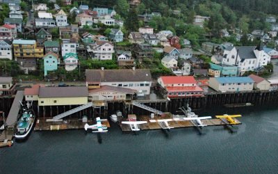
Ketchikan, Revillagigedo Island
Ketchikan is a coastal community and U.S. port of entry on the north shore of Tongass Narrows, on the southern coast of Revillagigedo Island, about 88 miles (142 km) northwest of Prince Rupert and 84 miles (135 km) south-southeast of Wrangell, Alaska.
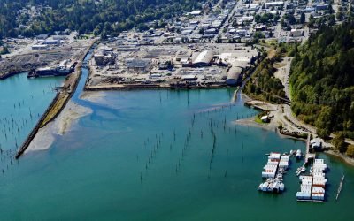
Shelton, Hammersley Inlet
Shelton is a community located on the southwest shore of Oakland Bay, an estuary connected to South Puget Sound by Hammersley Inlet, about 40 miles (64 km) southwest of Seattle and 15 miles (24 km) northwest of Olympia, Washington.
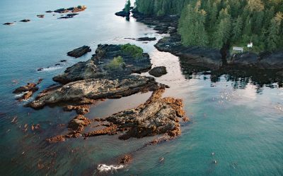
Cerantes Rocks, San Juan Point
Cerantes Rocks is a group of reefs and one large islet situated off of San Juan Point, a rocky headland forming the eastern entrance to Port San Juan on Vancouver Island, about 51 miles (82 km) west-northwest of Victoria and 2.4 miles (4 km) southwest of Port Renfrew, British Columbia.
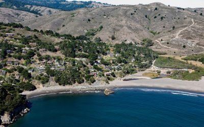
Muir Beach, Marin Peninsula
Muir Beach is a small community situated on the west coast of the Marin Peninsula overlooking the Pacific Ocean, with the adjacent sand beach in the Golden Gate National Recreation Area, about 11 miles (18 km) northwest of San Francisco and 5 miles (8 km) southeast of Stinson Beach, California.
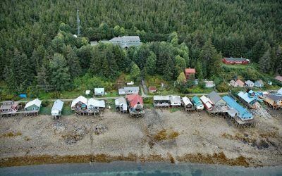
Tenakee Springs, Chichagof Island
Tenakee Springs is a community on the north shore of Tenakee Inlet, on the eastern shore of Chichagof Island in the Alexander Archipelago of Southeast Alaska, about 46 miles (74 km) southwest of Juneau and 30 miles (48 km) northwest of Angoon, Alaska.
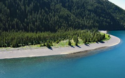
Verdant Cove, Kenai Fjords National Park
Verdant Cove is on the western shore of Aialik Bay in Kenai Fjords National Park at the northern entrance to Dora Passage, about 64 miles (103 km) east of Homer and 30 miles (48 km) south-southwest of Seward, Alaska.
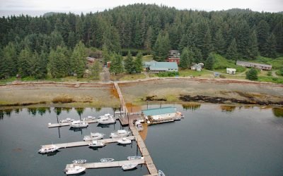
Whalers Cove, Killisnoo Island
Whalers Cove is a bight on the northeastern shore of Killisnoo Island located in Chatham Strait along the central west coast of Admiralty Island in the Alexander Archipelago of Southeast Alaska, about 42 miles (68 km) northeast of Sitka and 2.5 miles (4 km) south of Angoon, Alaska.
About the background graphic
This ‘warming stripe’ graphic is a visual representation of the change in global temperature from 1850 (top) to 2019 (bottom). Each stripe represents the average global temperature for one year. The average temperature from 1971-2000 is set as the boundary between blue and red. The colour scale goes from -0.7°C to +0.7°C. The data are from the UK Met Office HadCRUT4.6 dataset.
Click here for more information about the #warmingstripes.