
Communities
Recent Articles
More Articles
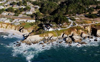
Point Montara Lighthouse, Montara
Point Montara Lighthouse is located in the coastal community of Montara, about 18 miles (29 km) south-southwest of San Francisco and 7 miles (11 km) northwest of Half Moon Bay, California.
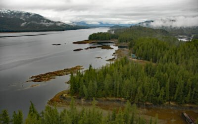
Thoms Place, Wrangell Island
Thoms Place is an embayment, and a widely distributed remote community, along Zimovia Strait on the southwest coast of Wrangell Island, about 62 miles (100 km) north-northwest of Ketchikan and 22 miles (35 km) south-southeast of Wrangell, Alaska.
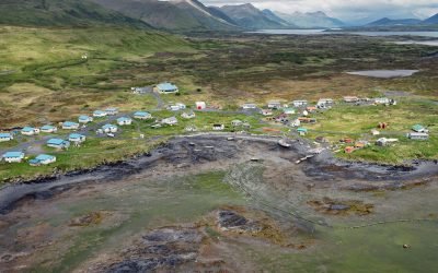
Akhiok, Kodiak Island
Akhiok is the southernmost Alutiiq Sugpiat village on Kodiak Island, situated on Akhiok Bay which is on the western shore of Alitak Bay, about 167 miles (269 km) east-northeast of Chignik and 87 miles (140 km) southwest of Kodiak, Alaska.
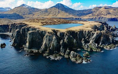
Tigalda, Krenitzin Islands
Tigalda Island is 12 miles (19 km) long with an area of about 22,400 acres (9,065 ha) and is one of the Krenitzin Islands in the Eastern Aleutians, about 84 miles (135 km) southwest of False Pass and 28 miles (45 km) east of Akutan, Alaska.
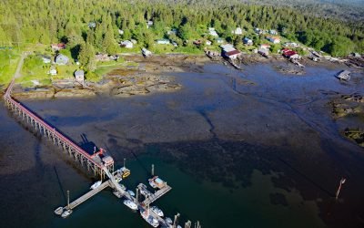
Dodge Cove, Digby Island
Dodge Cove is a small community located on Digby Island, across from Kaien Island on the west side of Prince Rupert Harbour, about 88 miles (142 km) southeast of Ketchikan and 3 miles (5 km) southwest of Prince Rupert, British Columbia.
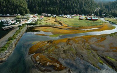
Pelican, Lisianski Inlet
Pelican is a small community located on the east side of Lisianski Inlet on the north coast of Chichagof Island in the Alexander Archipelago of Southeast Alaska, about 71 miles (114 km) north-northwest of Sitka and 17 miles (27 km) south of Elfin Cove, Alaska.
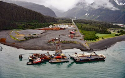
Fourth of July Creek, Resurrection Bay
Fourth of July Creek originates from a series of unnamed glaciers and snowfields on the Resurrection Peninsula in the Chugach Mountains on the Kenai Peninsula, and flows generally west for 3.2 miles (5 km) to an alluvial fan where it joins Godwin River and then flows southwest for 1.5 miles (2.4 km) to Resurrection Bay, about 53 miles (85 km) south-southwest of Whittier and 3.6 miles (6 km) southeast of Seward, Alaska.
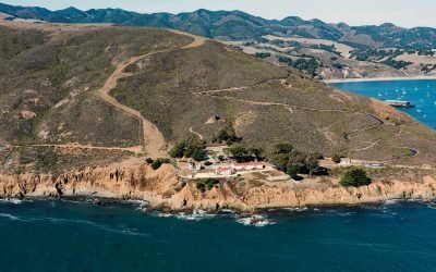
Point San Luis Light Station, Avila Beach
Point San Luis is the site of a historic light station on a peninsula formed by San Luis Hill, a headland with an elevation of 708 feet (216 m), that provides a sheltered harbor for Port San Luis and the community of Avila Beach on San Luis Obispo Bay, about 118 miles (190 km) south-southeast of Monterey and 7 miles (11 km) west-northwest of Pismo Beach, California.
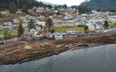
Wrangell, Wrangell Island
Wrangell is a community situated at the mouth of the Stikine River on the north coast of Wrangell Island in the Alexander Archipelago of Southeast Alaska, about 83 miles (134 km) north-northwest of Ketchikan and 33 miles (53 km) southeast of Petersburg, Alaska.
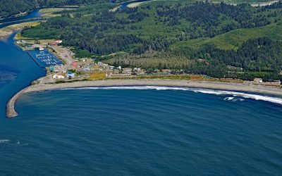
La Push, Quillayute River
La Push is the traditional community of the Quileute people situated at the mouth of the Quillayute River within the Quileute Indian Reservation and surrounded by the coastal strip of Olympic National Park, about 32 miles (51 km) south of Neah Bay and 12 miles (19 km) west-southwest of Forks, Washington.
About the background graphic
This ‘warming stripe’ graphic is a visual representation of the change in global temperature from 1850 (top) to 2019 (bottom). Each stripe represents the average global temperature for one year. The average temperature from 1971-2000 is set as the boundary between blue and red. The colour scale goes from -0.7°C to +0.7°C. The data are from the UK Met Office HadCRUT4.6 dataset.
Click here for more information about the #warmingstripes.