
Communities
Recent Articles
More Articles
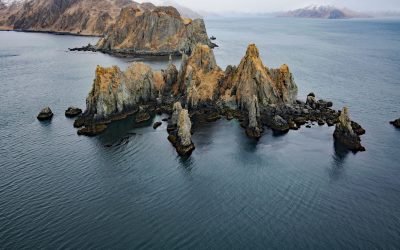
Cathedral Rocks, Makushin Bay
Cathedral Rocks is an island 0.3 miles (0.5 km) west of Cathedral Point on the northern shore of Makushin Bay, on the west coast of Unalaska Island in the Eastern Aleutians, about 98 miles (158 km) northwest of Nikolski and 18 miles (29 km) southwest of Dutch Harbor, Alaska.

Baranof, Warm Springs Bay
Baranof is a community located at the head of Warm Springs Bay, at the outlet of Baranof Lake, on the Chatham Strait coast of Baranof Island, about 86 miles (139 km) south-southwest of Juneau and 20 miles (32 km) east of Sitka, Alaska.
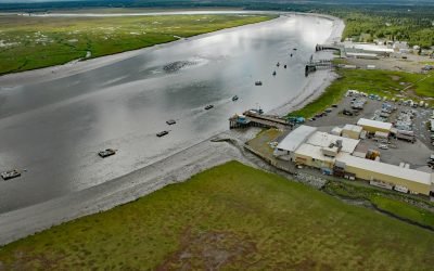
Kenai River, Cook Inlet
Kenai River flows into Cook Inlet on the western shore of the Kenai Peninsula, about 65 miles (105 km) southwest of Anchorage and at the community of Kenai, Alaska.
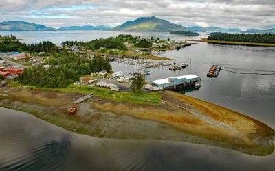
Craig, Prince of Wales Island
Craig is a community on the western coast of Prince of Wales Island approximately 56 miles (90 km) northwest of Ketchikan and 220 miles (350 km) south of Juneau, Alaska.
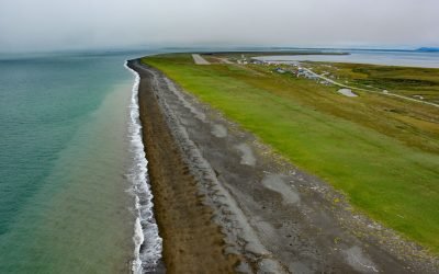
Platinum, Goodnews Bay
Platinum is a mining community located on the Smalls River at the base of South Spit in Goodnews Bay, about 123 miles (198 km) south of Bethel and 11 miles (18 km) southwest of the village of Goodnews, Alaska.
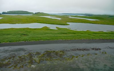
Kaguyak Village, Kodiak Island
Kaguyak is an abandoned Alutiiq village on the Aliulik Peninsula on the southeastern coast of Kodiak Island at the head of Kaguyak Bay, about 165 miles (266 km) southeast of King Salmon and 81 miles (131 km) southwest of the city of Kodiak, Alaska.
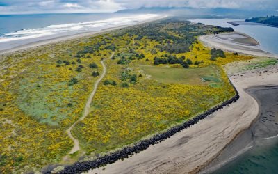
Nehalem Spit, Nehalem Bay State Park
Nehalem Bay is separated from the Pacific Ocean by an along shore dune called Nehalem Spit in Nehalem Bay State Park, about 15 miles (25 km) north-northwest of Tillamook and 3.8 miles (6 km) south of Manzanita, Oregon.
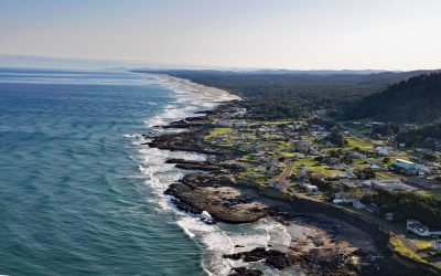
Yachats, Yachats River
Yachats is a small community at the mouth of the Yachats River on the central Oregon coast, about 54 miles (87 km) northwest of Eugene and 22 miles (35 km) south of Newport, Oregon.
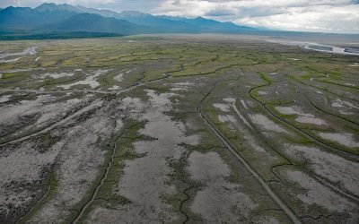
Chickaloon Bay, Turnagain Arm
Chickaloon Bay is located on the Kenai Peninsula, about 46 miles (74 km) northeast of Kenai and 22 miles (35 km) south and across Turnagain Arm from Anchorage, Alaska.
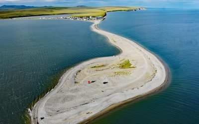
Teller, Port Clarence
Teller is an Iñupiat village located at the base of a spit separating Port Clarence Bay from Grantley Harbor, about 59 miles (95 km) northwest of Nome and 6 miles (10 km) southeast of Brevig Mission, Alaska.
About the background graphic
This ‘warming stripe’ graphic is a visual representation of the change in global temperature from 1850 (top) to 2019 (bottom). Each stripe represents the average global temperature for one year. The average temperature from 1971-2000 is set as the boundary between blue and red. The colour scale goes from -0.7°C to +0.7°C. The data are from the UK Met Office HadCRUT4.6 dataset.
Click here for more information about the #warmingstripes.