
Communities
Recent Articles
More Articles
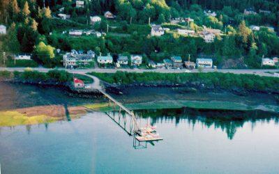
Daajing Giids, Graham Island
Daajing Giids was historically known as the village of Queen Charlotte and is situated on the northern shore of Skidegate Inlet on Graham Island in the Haida Gwaii archipelago, about 104 miles (167 km) southwest of Prince Rupert and 52 miles (84 km) south of Masset, British Columbia.
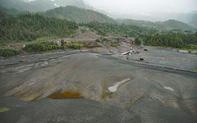
Beatson Copper Mine, Latouche Island
Beatson Copper Mine and the abandoned mining community of Latouche are situated at the base of Mount Beatson and adjacent to Powder Point near the northwest tip of Latouche Island in Prince William Sound, about 82 miles (132 km) southwest of Cordova and 57 miles (92 km) southeast of Whittier, Alaska.

False Narrows, Gabriola Island
False Narrows is a waterway between 10 and 30 feet (3-9 m) deep, navigable only by small boats and with local knowledge, and about 1.3 miles (2 km) long that separates Gabriola Island to the north from Mudge Island to the south, about 37 miles (60 km) northwest of Sidney and 8 miles (13 km) southeast of Nanaimo, British Columbia.
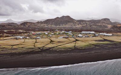
Perryville, Alaska Peninsula
Perryville is an Alutiiq Sugpiaq community established on the south coast of the Alaska Peninsula between Three Star Point to the west and Coal Cape to the east, about 66 miles (106 km) northeast of Sand Point and 41 miles (66 km) southwest of Chignik, Alaska.
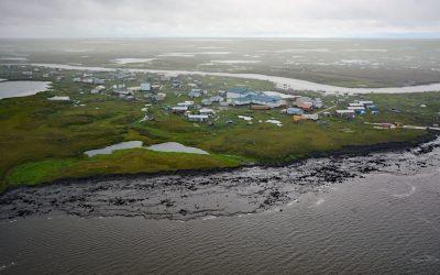
Newtok, Yukon-Kuskokwim Delta
Newtok is a Central Yup’ik community located between the Ningaluk River to the south and a tidal slough to the north, 19 miles (31 km) upstream from the Bering Sea in the Yukon-Kuskokwim Delta, about 125 miles (202 km) south of Emmonak and 96 miles (155 km) west of Bethel, Alaska.
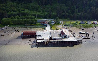
Cassiar Cannery, Skeena River
Cassiar is a historic salmon cannery situated on the northern shoreline of Inverness Passage at the mouth of the Skeena River, about 67 miles (18 km) southwest of Terrace and 11 miles (18 km) southeast of Prince Rupert, British Columbia.
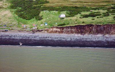
Saint Nicholas Chapel, Ekuk
Saint Nicholas Chapel is a historic Russian Orthodox church situated on a bluff overlooking Ekuk Spit and the summer set-net community of Ekuk, on the eastern shore of Nushagak Bay, about 16 miles (26 km) south-southwest of Dillingham and 2 miles (3.2 km) south-southwest of Clarks Point, Alaska.
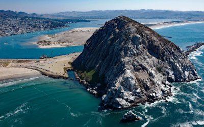
Morro Rock, Morro Bay
Morro Rock is a volcanic plug with an elevation of 576 feet (176 m), connected to the mainland by a causeway that forms the entrance channel to Morro Bay, about 102 miles (164 km) southeast of Monterey and 21 miles (34 km) northwest of Pismo Beach, California.
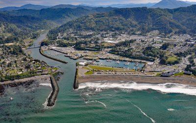
Brookings, Chetco River
Brookings is a community at the mouth of the Chetco River, which flows from the Southern Oregon Coast Range to the Pacific Ocean, about 21 miles (34 km) north-northwest of Crescent City, California and 26 miles (42 km) south-southeast of Gold Beach, Oregon.
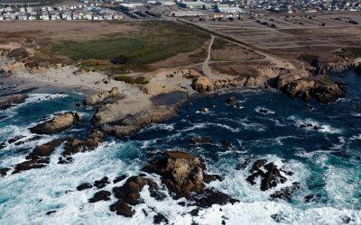
Glass Beach, Noyo Headlands Park
Glass Beach is situated in the northern section of Noyo Headlands Park in the community of Fort Bragg, which is between Pudding Creek to the north and Noyo River to the south, about 95 miles (153 km) south-southeast of Eureka and 10 miles (16 km) north of Mendocino, California.
About the background graphic
This ‘warming stripe’ graphic is a visual representation of the change in global temperature from 1850 (top) to 2019 (bottom). Each stripe represents the average global temperature for one year. The average temperature from 1971-2000 is set as the boundary between blue and red. The colour scale goes from -0.7°C to +0.7°C. The data are from the UK Met Office HadCRUT4.6 dataset.
Click here for more information about the #warmingstripes.