
Glaciers
Recent Articles
More Articles

Barry Glacier, Harriman Fjord
Barry Glacier flows southwest for 16 miles (25 km) to Barry Arm of Harriman Fjord in northwestern Prince William Sound, about 33 miles (53 km) northeast of Whittier and 58 miles (93 km) east of Anchorage, Alaska.
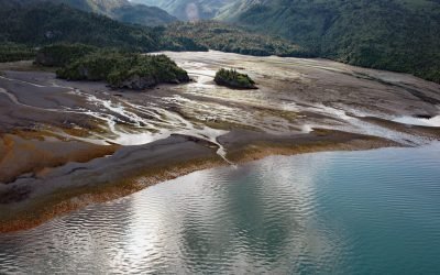
Mallard Bay, Portlock River
Mallard Bay is on the southern shore of Kachemak Bay on the Kenai Peninsula and adjacent to the mouth of the Portlock River, approximately 14 miles (23 km) east-northeast of Homer and 4 miles (6 km) south-southwest of Bear Cove, Alaska.
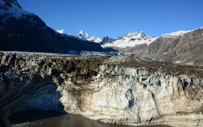
Johns Hopkins Glacier, Glacier Bay National Park and Preserve
Johns Hopkins Glacier flows generally east-northeast for 13 miles (21 km) to the head of Johns Hopkins Inlet in Glacier Bay National Park and Preserve, about 104 miles (167 km) southeast of Yakutat and 58 miles (93 km) northwest of Gustavus, Alaska.
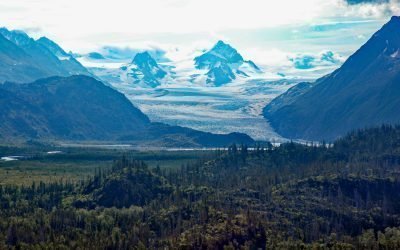
Grewingk Glacier, Kachemak Bay
Grewingk Glacier starts in the Kenai Mountains and flows generally northwest for 11 miles (18 km) to a proglacial lake about 2 miles (3.2 km) long that is drained by Grewingk Creek that flows 3.5 miles (6 km) to the southern shore of Kachemak Bay, about 25 miles (40 km) northeast of Seldovia and 16 miles (25 km) east-southeast of Homer, Alaska.
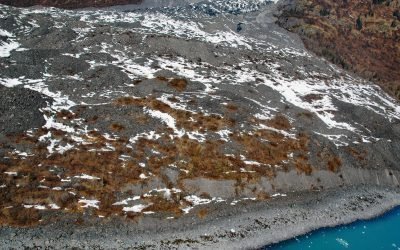
Vassar Glacier, College Fjord
Vassar Glacier flows southeast for 4.3 miles (7 km) from the eastern flank of Peak 8080 in the Chugach Mountains to the western shore of College Fjord near the confluence of Harvard Arm and Yale Arm and 2 miles (3.2 km) west of College Point, about 52 miles (83 km) west of Valdez and 42 miles (68 km) northeast of Whittier, Alaska.
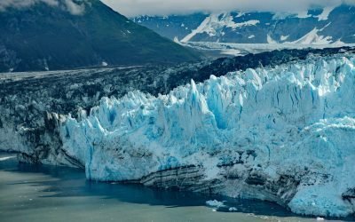
Valerie Glacier, Disenchantment Bay
Valerie Glacier is formed by several tributary glaciers that flow from the south flank of Mount Vancouver in the Saint Elias Mountains of the Icefield Ranges, and the merged ice streams flow generally southeast for about 14 miles (22.5 km) to laterally join with the Hubbard Glacier and terminate in Disenchantment Bay, about 154 miles (248 km) northwest of Haines and about 33 miles (53 km) north-northeast of Yakutat, Alaska.
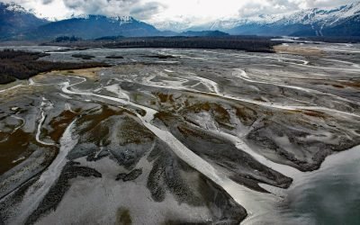
Old Valdez Townsite, Valdez Glacier Stream
Old Valdez was the original townsite of Valdez built on the outwash plain formed by Valdez Glacier which is drained by Valdez Glacier Stream that flows generally south-southeast for 4.5 miles (7 km) to Port Valdez in Prince William Sound, about 43 miles (69 km) north-northwest of Cordova and 3.7 miles (6 km) southeast of Valdez, Alaska.
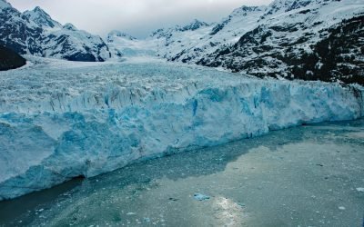
Meares Glacier, Unakwik Inlet
Meares Glacier starts at an elevation of about 7200 feet (2195 m) in the Chugach Mountains between Mount Michelson to the north and Columbia Peak to the south and trends generally southwest for 16 miles (26 km) to Unakwik Inlet in Prince William Sound, about 47 miles (76 km) northeast of Whittier and 40 miles (64 km) west of Valdez, Alaska.
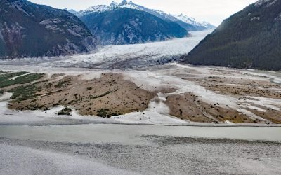
Baird Glacier, Thomas Bay
Baird Glacier starts in the Stikine Icefield in the Boundary Ranges of the Coast Mountains near the Alaska-British Columbia border, and flows generally southwest for 24 miles (39 km) to its terminus at an outwash plain 2 miles (3.2 km) north of the head of Thomas Bay, about 100 miles (162 km) southeast of Juneau and 22 miles (35 km) north-northeast of Petersburg, Alaska.
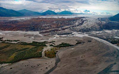
Brady Glacier, Taylor Bay
Brady Glacier lies in Glacier Bay National Park and Preserve, flowing from the Brady Icefield at 11,942 feet (3,640 m) in the Fairweather Range of the Saint Elias Mountains to Taylor Bay on Cross Sound’s north shore, about 139 miles (224 km) southeast of Yakutat and 32 miles (52 km) west of Gustavus, Alaska.
About the background graphic
This ‘warming stripe’ graphic is a visual representation of the change in global temperature from 1850 (top) to 2019 (bottom). Each stripe represents the average global temperature for one year. The average temperature from 1971-2000 is set as the boundary between blue and red. The colour scale goes from -0.7°C to +0.7°C. The data are from the UK Met Office HadCRUT4.6 dataset.
Click here for more information about the #warmingstripes.