
Glaciers
Recent Articles
More Articles
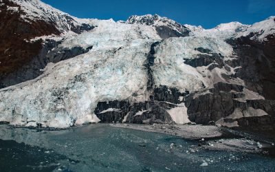
Bryn Mawr Glacier, College Fjord
Bryn Mawr Glacier flows southeast for about 4.5 miles (7 km) to Harvard Arm of College Fjord in northwestern Prince William Sound, about 52 miles (84 km) west of Valdez and 44 miles (71 km) northeast of Whittier, Alaska.
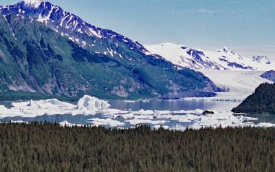
Excelsior Glacier, Johnstone Bay
Excelsior Glacier flows south for about 8 miles (13 km) from the Sargent Icefield on the Kenai Peninsula to its terminus at Big Johnstone Lake, formerly called Excelsior Lake, about 28 miles (45 km) west-southwest of Chenega Bay and 26 miles (42 km) southeast of Seward, Alaska.
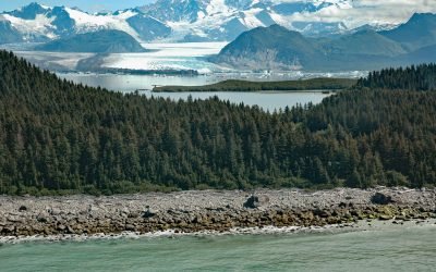
Grand Plateau Glacier, Fairweather Range
Grand Plateau Glacier starts on the north flank of Mount Fairweather in the Fairweather Range of the Saint Elias Mountains and flows generally northwest for 19 miles (31 km) where it splits into two terminal lobes, with the southern lobe flowing 6 miles (10 km) to Grand Plateau Lake, about 142 miles (229 km) northwest of Juneau and 70 miles (113 km) southeast of Yakutat, Alaska.
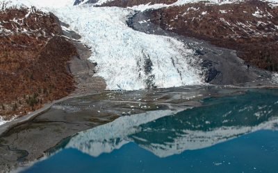
Wellesley Glacier, College Fjord
Wellesley Glacier flows for about 4.5 miles (7 km) from the Chugach Mountains and terminates at a lagoon on the west side of College Fjord, about 55 miles (89 km) west of Valdez and 40 miles (64 km) northeast of Whittier, Alaska.
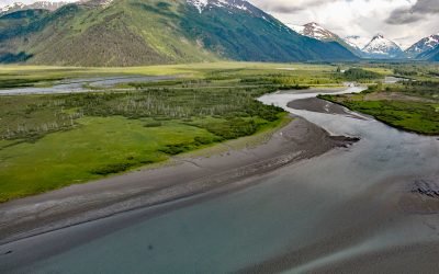
Portage, Turnagain Arm
Portage is a historical community and railroad siding at milepost 64.2 on the Alaska Railroad at the head of Turnagain Arm in the Chugach National Forest, about 41 miles (66 km) south of Anchorage and 11 miles (18 km) northwest of Whittier, Alaska.
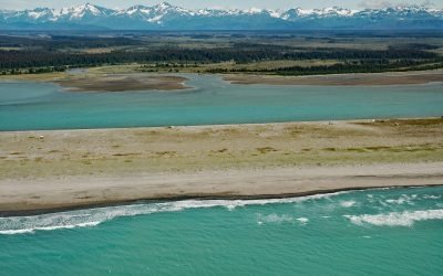
Situk River, Johnson Slough
Situk River starts at Situk Lake and flows southwest for about 18 miles (29 km) through the Yakutat Forelands in Tongass National Forest to Johnson Slough on the Gulf of Alaska, about 200 miles (322 km) northwest of Juneau and 9 miles (15 km) southeast of Yakutat, Alaska.
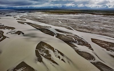
Copper River, Copper River Delta
The Copper River watershed drains about 24,000 square miles (62,000 sq km) in the Wrangell, Chugach, and Saint Elias Mountains and the mainstem flows for about 290 miles (470 km) to the Gulf of Alaska where it creates a wide delta, about 195 miles west-northwest of Yakutat and 30 miles southeast of Cordova, Alaska.
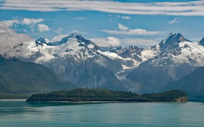
Cenotaph Island, Lituya Bay
Cenotaph Island is approximately in the middle of Lituya Bay, a fjord formed primarily by the Crillon and Lituya glaciers in Glacier Bay National Park and Preserve, about 117 miles (189 km) west-northwest of Juneau and 97 miles (156 km) southeast of Yakutat, Alaska.
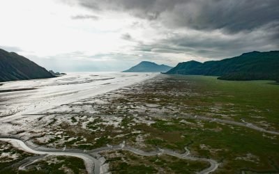
Tuxedni Bay, Cook Inlet
Tuxedni Bay is an estuary that extends southeast for 14 miles (23 km) from the mouth of Tuxedni River to Cook Inlet, at Chisik Island, about 59 miles (95 km) northwest of Homer and 57 miles (92 km) southwest of Kenai, Alaska.
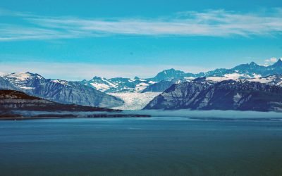
Icy Bay, Wrangell-Saint Elias National Park and Preserve
Icy Bay is on the Gulf of Alaska coast in Wrangell-Saint Elias National Park and Preserve, about 154 miles (248 km) southeast of Cordova and 65 miles (105 km) northwest of Yakutat, Alaska.
About the background graphic
This ‘warming stripe’ graphic is a visual representation of the change in global temperature from 1850 (top) to 2019 (bottom). Each stripe represents the average global temperature for one year. The average temperature from 1971-2000 is set as the boundary between blue and red. The colour scale goes from -0.7°C to +0.7°C. The data are from the UK Met Office HadCRUT4.6 dataset.
Click here for more information about the #warmingstripes.