
Hatcheries
Recent Articles
More Articles
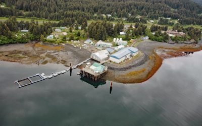
Port Graham, Kachemak Bay
Port Graham is a deglaciated fjord at the southern entrance to Kachemak Bay with an Alutiiq Sugpiaq community with the same name, on the southwestern end of the Kenai Peninsula, about 23 miles (37 km) south-southwest of Homer and 3.4 miles (5.5 km) east of Nanwalek, Alaska.
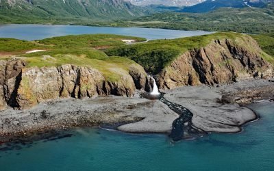
Kirschner Lake, Kamishak Bay
Kirschner Lake is located on the northern shore of Kamishak Bay and the western coast of lower Cook Inlet at an elevation of approximately 80 feet (24 m), about 110 miles (177 km) northeast of King Salmon and 86 miles (138 km) west-southwest of Homer, Alaska.
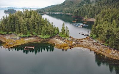
Hidden Falls Hatchery, Kasnyku Bay
The Hidden Falls Fish Hatchery is located in Tongass National Forest on the northeast coast of Baranof Island, at the head of Kasnyku Bay off Chatham Strait, about 22 miles (35 km) south-southeast of Angoon and 21 miles (34 km) northeast of Sitka, Alaska.
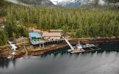
Burnett Inlet, Etolin Island
Burnett Inlet is a narrow, estuarine fjord that extends about 9 miles (15 km) north from Clarence Strait into the southwest coast of Etolin Island, roughly 63 miles (101 km) northwest of Ketchikan and 25 miles (40 km) south-southwest of Wrangell, Alaska.
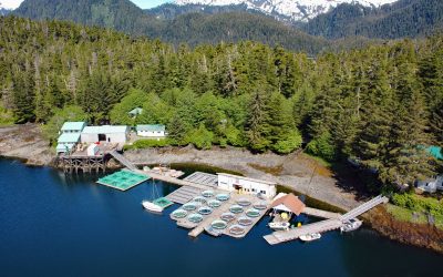
Little Port Walter, Baranof Island
Little Port Walter is an embayment and research facility on the southern shore of Port Walter, situated on the southeastern coast of Baranof Island and the western shore of Chatham Strait, about 53 miles (85 km) south-southeast of Sitka and 9 miles (14.5 km) north of Port Alexander, Alaska.
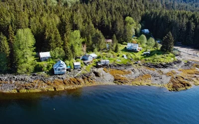
Loring, Naha Bay
Loring is a small community at the site of a historical salmon cannery on the west coast of Revillagigedo Island, at the head of Naha Bay and near the mouth of the Naha River, about 66 miles (106 km) south-southeast of Wrangell and 17 miles (27 km) north of Ketchikan, Alaska.
About the background graphic
This ‘warming stripe’ graphic is a visual representation of the change in global temperature from 1850 (top) to 2019 (bottom). Each stripe represents the average global temperature for one year. The average temperature from 1971-2000 is set as the boundary between blue and red. The colour scale goes from -0.7°C to +0.7°C. The data are from the UK Met Office HadCRUT4.6 dataset.
Click here for more information about the #warmingstripes.