
Mines
Recent Articles
More Articles
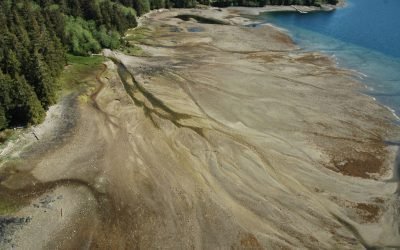
Ross Adams Mine, Kendrick Bay
The Ross Adams Mine is a historical uranium-thorium site located on Kendrick Bay in the Tongass National Forest on the southeastern slopes of Bokan Mountain, about 33 miles (53 km) southeast of Hydaburg and 38 miles (61 km) southwest of Ketchikan, Alaska.
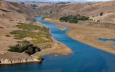
Ocean Roar, Walker Creek
Ocean Roar is a small group of buildings at the mouth of Walker Creek, and formerly a community on the North Pacific Coast Railroad, about 2.3 miles (3.7 km) southwest of Tomales and 16 miles (26 km) west of Petaluma, California.

Indian Valley, Turnagain Arm
Indian is an Alaska Railroad siding and small community at the entrance to a deep valley on the northern shore of Turnagain Arm, about 21 miles (34 km) northwest of Portage and 21 miles (34 km) southeast of Anchorage, Alaska.
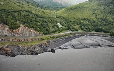
Rainbow Valley, Turnagain Arm
Rainbow Valley is a watershed located on Turnagain Arm between Rainbow Peak to the west and Indianhouse Mountain to the east, approximately 17 miles (27 km) south-southeast of Anchorage and 17 miles (27 km) west-northwest of Girdwood, Alaska.
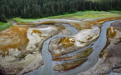
Sumdum Mine, Sanford Cove
Sumdum is a historical mine and community located at the head of Sanford Cove, an embayment on the southern shore of Endicott Arm, about 64 miles (103 km) north-northwest of Petersburg and 55 miles (89 km) southeast of Juneau, Alaska.
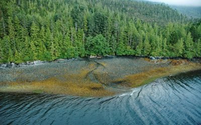
Copper City, Hetta Inlet
Copper City is an abandoned mining community located on the eastern shore of Hetta Inlet, on the southwest coast of Prince of Wales Island, about 5.5 miles (9 km) north of Lime Point and 10 miles (16 km) southeast of Hydaburg.
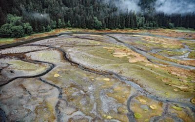
Limestone Inlet, Stephens Passage
Limestone Inlet, 0.25 miles (0.4 km) wide, extends about 2 miles (3.2 km) into the mainland from the eastern shore of Stephens Passage, approximately 84 miles (135 km) northeast of Sitka and 25 miles (40 km) southeast of Juneau, Alaska.

Copper Harbor, Hetta Inlet
Copper Harbor is an embayment on Prince of Wales Island on the eastern shore of Hetta Inlet, near the historical Coppermount mine, about 38 miles (61 km) west-southwest of Ketchikan and 8.6 miles (14 km) east-northeast of Hydaburg, Alaska.
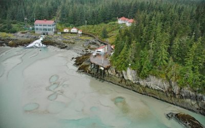
Annex Creek, Taku Inlet
Annex Creek flows southeast for 5 miles (8 km) through the Annex Lakes to Taku Inlet, about 0.35 miles (0.6 km) southwest of the Annex Creek hydroelectric power facility and 12 miles (19 km) east of Juneau, Alaska.
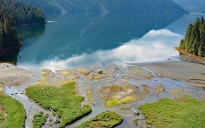
Foch Lagoon, Foch-Gilttoyees Provincial Park
Foch Lagoon is about 1 mile (1.6 km) wide and extends for 5 miles (8 km) northwest from the western shore of Douglas Channel in Foch-Gilttoyees Provincial Park and Protected Area, about 60 miles (97 km) southeast of Prince Rupert and 25 miles (40 km) southwest of Kitimat, British Columbia.
About the background graphic
This ‘warming stripe’ graphic is a visual representation of the change in global temperature from 1850 (top) to 2019 (bottom). Each stripe represents the average global temperature for one year. The average temperature from 1971-2000 is set as the boundary between blue and red. The colour scale goes from -0.7°C to +0.7°C. The data are from the UK Met Office HadCRUT4.6 dataset.
Click here for more information about the #warmingstripes.