
Mines
Recent Articles
More Articles
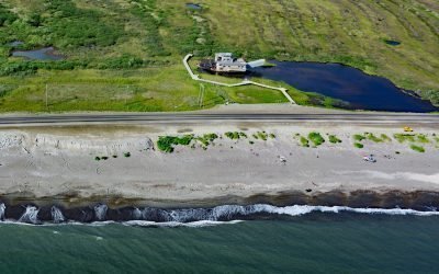
Swanberg Dredge, Rocker Gulch
Swanberg Dredge is a historic placer mining machine, located in a small artificial pond at Rocker Gulch, that once extracted gold from sand and gravel on the Seward Peninsula, about 18 miles (29 km) west of Safety and 1 mile (1.6 km) east of Nome, Alaska.
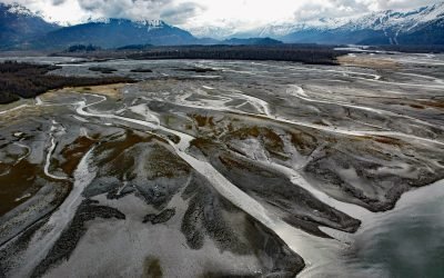
Old Valdez Townsite, Valdez Glacier Stream
Old Valdez was the original townsite of Valdez built on the outwash plain formed by Valdez Glacier which is drained by Valdez Glacier Stream that flows generally south-southeast for 4.5 miles (7 km) to Port Valdez in Prince William Sound, about 43 miles (69 km) north-northwest of Cordova and 3.7 miles (6 km) southeast of Valdez, Alaska.
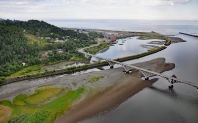
Rogue River, Gold Beach
The Rogue River flows west for 215 miles (346 km) to the Pacific Ocean, about 23 miles (37 km) south-southeast of Port Orford and at Gold Beach, Oregon.
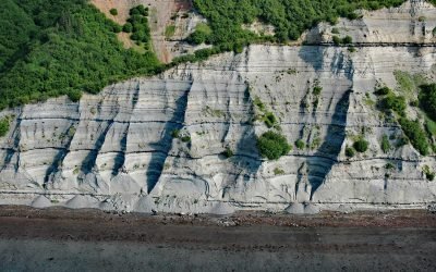
Falls Creek, Kachemak Bay
Falls Creek is located on the Kenai Peninsula, flowing generally south for 3.2 miles (5 km) to the northwestern shore of Kachemak Bay, approximately 17 miles (27 km) northeast of Homer and 2.5 miles (4 km) southwest of Kachemak Selo, Alaska.
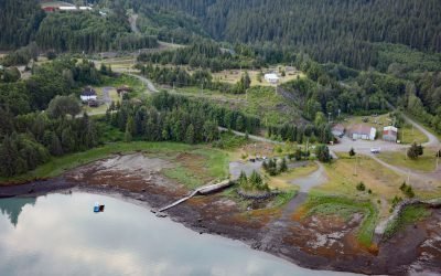
Kitsault, Alice Arm
Kitsault is a historical mining community near the mouth of the Kitsault River at the head of Alice Arm, a fjord and eastern extension of Observatory Inlet, about 86 miles (138 km) north-northeast of Prince Rupert and 38 miles (61 km) southeast of Stewart, British Columbia.
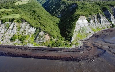
McNeil Canyon, Kachemak Bay
McNeil Canyon is on the Kenai Peninsula and the northern shore of Kachemak Bay and trends south for about 2 miles (3.2 km) following the lower course of McNeil Creek, about 57 miles (92 km) south of Kenai and 12 miles (19 km) northeast of Homer, Alaska.
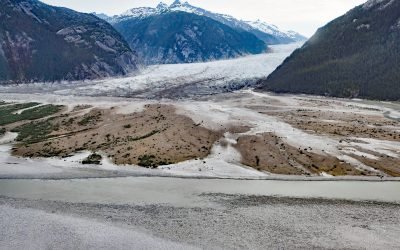
Baird Glacier, Thomas Bay
Baird Glacier starts in the Stikine Icefield in the Boundary Ranges of the Coast Mountains near the Alaska-British Columbia border, and flows generally southwest for 24 miles (39 km) to its terminus at an outwash plain 2 miles (3.2 km) north of the head of Thomas Bay, about 100 miles (162 km) southeast of Juneau and 22 miles (35 km) north-northeast of Petersburg, Alaska.
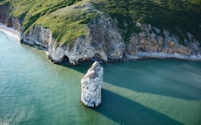
Square Rock, Norton Sound
Square Rock is a marble pillar formed by an eroding sea stack situated about 200 feet (60 m) offshore from the eastern end of Bluff Cliffs on the south coast of the Seward Peninsula in Norton Sound, about 50 miles (80 km) east of Nome and 18 miles (29 km) west of Golovin, Alaska.
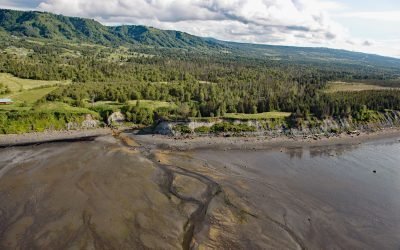
Fritz Creek, Kachemak Bay
Fritz Creek is a stream on the Kenai Peninsula that starts from a watershed divide between Lookout Mountain to the south and Bald Mountain to the north and flows generally south for 7 miles (11 km) to the north shore of Kachemak Bay, about 17 miles (27 km) southeast of Anchor Point and 6 miles (10 km) northeast of Homer, Alaska.
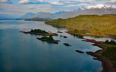
Hastings Arm, Observatory Inlet
Hastings Arm extends 14 miles (23 km) north from Observatory Inlet into the Coast Mountains and terminates at the mouth of the Kshwan River, about 23 miles (37 km) south‐southeast of Stewart and 17 miles (27 km) northwest of Kitsault, British Columbia.
About the background graphic
This ‘warming stripe’ graphic is a visual representation of the change in global temperature from 1850 (top) to 2019 (bottom). Each stripe represents the average global temperature for one year. The average temperature from 1971-2000 is set as the boundary between blue and red. The colour scale goes from -0.7°C to +0.7°C. The data are from the UK Met Office HadCRUT4.6 dataset.
Click here for more information about the #warmingstripes.