
Oregon
Recent Articles
More Articles
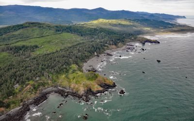
Hubbard Mound, Otter Point
The Hubbard Mound is a coastal headland and the location of a historical beach placer mining prospect near the community of Nesika Beach, 1 mile (1.6 km) north of Otter Point and about 6 miles (9.7 km) north of Gold Beach, Oregon.
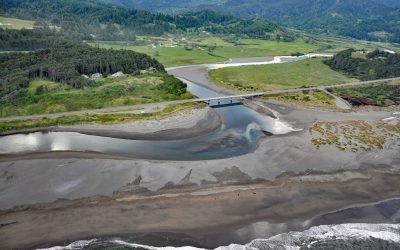
Pistol River, Pistol River State Scenic Viewpoint
Pistol River flows generally southwest for 21 miles (34 km) to the Pistol River State Scenic Viewpoint overlooking the Pacific Ocean near the community of Pistol River, about 17 miles (27 km) north-northwest of Brookings and 10 miles (16 km) south of Gold Beach, Oregon.
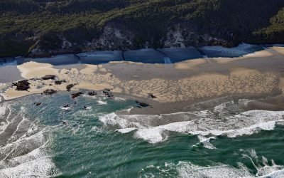
Hobbit Beach, Heceta Head
Hobbit Beach is a secluded strand located just north of Heceta Head, about 13 miles (21 km) north of Florence and 12.5 miles (20 km) south of Yachats, Oregon.
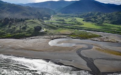
Ophir, Euchre Creek
Ophir is a small community on Euchre Creek in Curry County, about 0.5 miles (0.8 km) upstream from the Pacific Ocean, and 4 miles (6.5 km) northeast of the community of Nesika Beach, Oregon.

Ecola Creek, Cannon Beach
Ecola Creek flows into the Pacific Ocean at the northern edge of Cannon Beach, a small resort community approximately 30 miles (48 km) north of Tillamook and 8 miles (12 km) south of Seaside, Oregon.
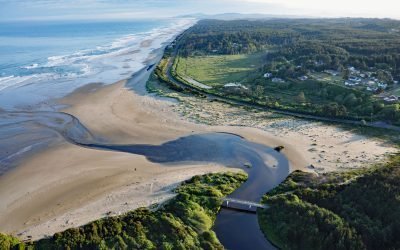
Beaver Creek, Ona Beach
Beaver Creek flows generally west for 16 miles (26 km) to the Pacific Ocean at Ona Beach, approximately 9 miles (14.5 km) south of Newport and 7 miles (11.3 km) north of Waldport, Oregon.
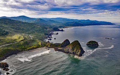
Sisters Rocks, Frankport
Sisters Rocks, historically known as Three Sisters Rocks, is a minor headland located between Mussel Creek to the north and Eucher Creek to the south, about 13 miles (21 km) north of Gold Beach and 11 miles (18 km) south-southeast of Port Orford, Oregon.
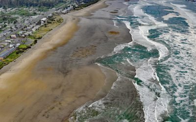
Twin Rocks, Rockaway Beach
Twin Rocks is a set of sea stacks situated about 0.5 miles (0.8 km) offshore and 1 mile (1.6 km) south-southwest of Rockaway Beach, a seaside community on a continuous strand that extends for 6 miles (10 km) from the mouth of the Nehalem River to the north and Tillamook Bay to the south, about 4 miles (6 km) south-southwest of Nedonna Beach and 2 miles (3.2 km) north-northwest of Barview, Oregon.
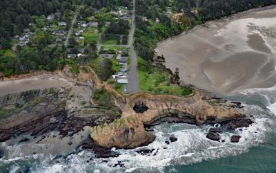
Devils Punchbowl, Otter Rock
Devils Punchbowl is a collapsed sea cave or littoral sinkhole located on a headland in Devils Punchbowl State Natural Area at the community of Otter Rock, about 8 miles (13 km) north of Newport and 5 miles (8 km) south of Depoe Bay, Oregon.
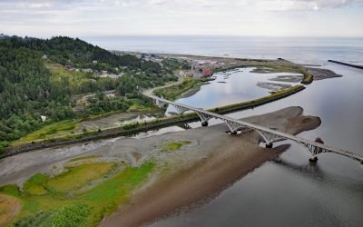
Rogue River, Gold Beach
The Rogue River flows west for 215 miles (346 km) to the Pacific Ocean, about 23 miles (37 km) south-southeast of Port Orford and at Gold Beach, Oregon.
About the background graphic
This ‘warming stripe’ graphic is a visual representation of the change in global temperature from 1850 (top) to 2019 (bottom). Each stripe represents the average global temperature for one year. The average temperature from 1971-2000 is set as the boundary between blue and red. The colour scale goes from -0.7°C to +0.7°C. The data are from the UK Met Office HadCRUT4.6 dataset.
Click here for more information about the #warmingstripes.