
Parks
Recent Articles
More Articles
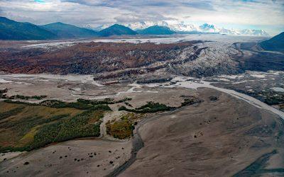
Brady Glacier, Taylor Bay
Brady Glacier lies in Glacier Bay National Park and Preserve, flowing from the Brady Icefield at 11,942 feet (3,640 m) in the Fairweather Range of the Saint Elias Mountains to Taylor Bay on Cross Sound’s north shore, about 139 miles (224 km) southeast of Yakutat and 32 miles (52 km) west of Gustavus, Alaska.
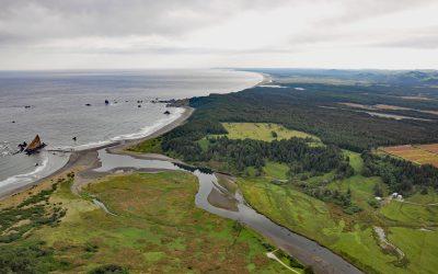
Sixes River, Cape Blanco
Sixes River drains a watershed of about 85,832 acres (34,735 ha) and flows generally west for about 31 miles (50 km) through coastal forests in southwestern Oregon and enters the Pacific Ocean just north of Cape Blanco, about 19 miles (31 km) south-southwest of Bandon and 8 miles (13 km) north-northwest of Port Orford, Oregon.
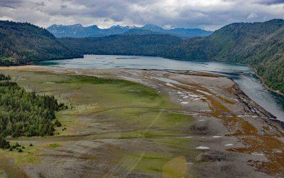
Halibut Cove Lagoon, Kachemak Bay
Halibut Cove Lagoon is a semi‐enclosed embayment 0.7 miles (1 km) wide at the head of Halibut Cove on Kachemak Bay’s southeast shore, on the Kenai Peninsula, about 20 miles (32 km) northeast of Seldovia and 13 miles (21 km) southeast of Homer, Alaska.
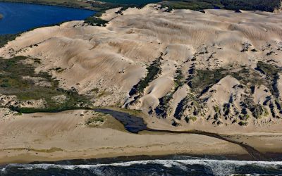
Oso Flaco Creek, Guadalupe-Nipomo Dunes
Oso Flaco Creek drains a watershed of approximately 7,400 acres (2,995 ha) consisting mostly of agricultural land before forming Oso Flaco Lake, now part of the Oso Flaco Lake Natural Area in the Guadalupe-Nipomo Dunes, and then flows into the Pacific Ocean, about 68 miles (109 km) northwest of Santa Barbara and 5 miles (8 km) south of Oceano, California.
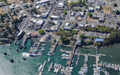
Friday Harbor, San Juan Island
Friday Harbor is a community at the head of a protected embayment on the eastern coast of San Juan Island, the archipelago’s second-largest and most populous island, about 18 miles (29 km) northeast of Victoria and 18 miles (29 km) west of Anacortes, Washington.
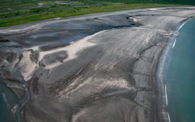
Dakavak Bay, Katmai National Park and Preserve
Dakavak Bay is a 3.4-mile (5.5 km) wide inlet on the southeastern coast of the Alaska Peninsula in Katmai National Park and Preserve, that extends north from Shelikof Strait for about 3 miles (5 km), roughly 87 miles (140 km) west-northwest of Kodiak and 83 miles (134 km) southeast of King Salmon, Alaska.
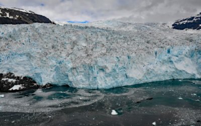
Aialik Glacier, Kenai Fjords National Park
Aialik Glacier flows southeast for 8 miles (13 km) from the Harding Icefield in the Kenai Mountains to tidewater at Aialik Bay in Kenai Fjords National Park, about 66 miles (106 km) east-northeast of Homer and 16 miles (26 km) southwest of Seward, Alaska.
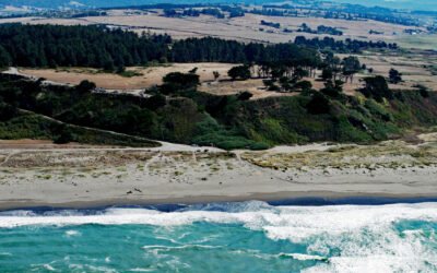
Table Bluff, Humboldt Bay
Table Bluff is a promontory and coastal plateau less than 1 mile (1.6 km) wide, with an elevation of 163 feet (50 m), at the base of South Spit, which encloses the southern portion of Humboldt Bay, about 9 miles (15 km) southwest of Eureka and 4.5 miles (7 km) northwest of Loleta, California.
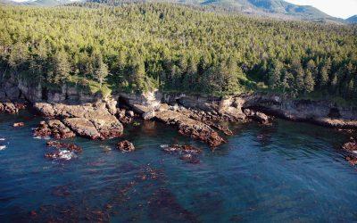
Valencia Bluffs, West Coast Trail
Valencia Bluffs are sea cliffs along the West Coast Trail in Pacific Rim National Park Reserve on Vancouver Island’s southwest shore, about 29 miles (47 km) northwest of Port Renfrew and 11 miles (18 km) southeast of Bamfield, British Columbia.
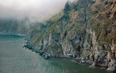
Cape Newenham, Togiak Bay
Cape Newenham is a massive headland on the eastern shore of the Bering Sea, situated between Kuskokwim Bay to the north and Togiak Bay to the south, about 149 miles (240 km) south of Bethel and 69 miles (111 km) southwest of Togiak, Alaska.
About the background graphic
This ‘warming stripe’ graphic is a visual representation of the change in global temperature from 1850 (top) to 2019 (bottom). Each stripe represents the average global temperature for one year. The average temperature from 1971-2000 is set as the boundary between blue and red. The colour scale goes from -0.7°C to +0.7°C. The data are from the UK Met Office HadCRUT4.6 dataset.
Click here for more information about the #warmingstripes.