
Parks
Recent Articles
More Articles
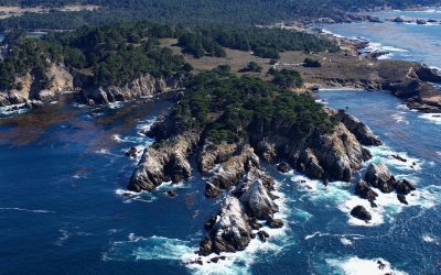
Point Lobos, Carmel Bay
Point Lobos is a rocky headland at the south end of Carmel Bay between Cypress Cove to the north and Headland Cove to the south on the central coast of California, about 19 miles (31 km) north-northwest of Big Sur and 2.5 miles (4 km) southwest of Carmel, California.
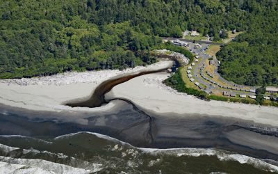
Kalaloch, Olympic National Park
Kalaloch is a resort, campground and ranger station on the west coast of the Olympic Peninsula, at the mouth of Kalaloch Creek in Olympic National Park, about 24 miles (39 km) southeast of La Push and 19 miles (31 km) north-northwest of Taholah, Washington.
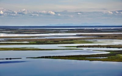
Selawik River, Kotzebue Sound
The Selawik River is about 140 miles (226 km) long, originating in the Purcell Mountains near the Zane Hills, and flows generally west through the Selawik National Wildlife Refuge to Selawik Lake that drains into Hotham Inlet on Kotzebue Sound, about 65 miles (105 km) southeast of Kotzebue and 9 miles (14.5 km) west of the village of Selawik, Alaska.
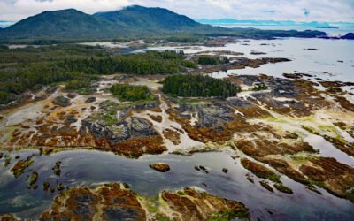
Randall Island, Dundas Archipelago
Randall Island is part of the Dundas Archipelago, a group of islands in Hecate Strait on the west side of Chatham Sound between Brown and Caamaño Passages, about 74 miles (119 km) southeast of Ketchikan and 22 miles (35 km) west-northwest of Prince Rupert, British Columbia.
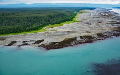
Ancon Rock, Point Gustavus
Ancon Rock is a reef located about 0.5 miles (0.8 km) off Point Gustavus on the eastern shore, at the entrance to Glacier Bay within Glacier Bay National Park and Preserve, about 55 miles (89 km) west of Juneau and 8.5 miles (12 km) southwest of Gustavus, Alaska.
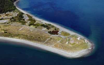
Point Wilson Light Station, Fort Worden
Point Wilson is the site of a historic light station on the grounds of former Fort Worden, situated on a low, broad sand spit that extends northeast for 1.5 miles (0.8 km) from the northern end of the Quimper Peninsula into Admiralty Inlet, about 31 miles (50 km) east of Port Angeles and 2 miles (3.2 km) north of Port Townsend, Washington.
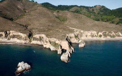
Point Resistance, Point Reyes National Seashore
Point Resistance is a headland on Drakes Bay, on the western shore of the Marin Peninsula, at the north end of Kelham Beach in the Phillip Burton Wilderness of Point Reyes National Seashore, about 27 miles (44 km) northwest of San Francisco and 3.5 miles (7 km) southwest of Olema, California.
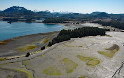
Canoe Passage, Hawkins Island
Canoe Passage is a State of Alaska Marine Park covering 2,507 acres (1,015 ha), encompassing both shores of a small-boat passage running northwest–southeast through Hawkins Island, in southeastern Prince William Sound, about 44 miles (71 km) south-southeast of Valdez and 11 miles (18 km) west of Cordova, Alaska.
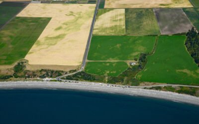
Ebey’s Landing, Whidbey Island
Ebey’s Landing is a beach on the southwest coast of Whidbey Island, on Admiralty Inlet in northern Puget Sound, about 45 miles (72 km) north-northwest of Seattle and 2 miles (3.2 km) south-southwest of Coupeville, Washington.
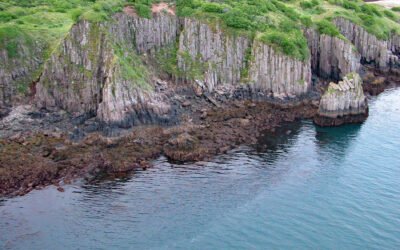
Takli Island, Amalik Bay
Takli Island is in Amalik Bay, between Cape Ilktugitak to the southwest and Cape Atushagvik to the northeast, along the Shelikof Strait coast of the Alaska Peninsula in Katmai National Park and Preserve, about 154 miles (248 kilometers) southwest of Homer and 81 miles (130 kilometers) west-northwest of Kodiak, Alaska.
About the background graphic
This ‘warming stripe’ graphic is a visual representation of the change in global temperature from 1850 (top) to 2019 (bottom). Each stripe represents the average global temperature for one year. The average temperature from 1971-2000 is set as the boundary between blue and red. The colour scale goes from -0.7°C to +0.7°C. The data are from the UK Met Office HadCRUT4.6 dataset.
Click here for more information about the #warmingstripes.