
Parks
Recent Articles
More Articles
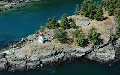
Portlock Point, Prevost Island
Portlock Point is part of a larger peninsula that forms the eastern extremity of Prevost Island and is part of the Gulf Islands National Park Reserve, about 33 miles (53 km) south-southwest of Vancouver and 13 miles (21 km) north-northeast of Sidney, British Columbia.
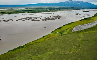
Mount Susitna, Susitna River Flats
Mount Susitna is a prominent mountain and landmark in northern Cook Inlet, with an elevation of 4,396 feet (1,340 m) rising from the Susitna Flats on the west bank of the Susitna River, about 65 miles (105 km) north-northeast of Kenai and 33 miles (53 km) northwest of Anchorage, Alaska.
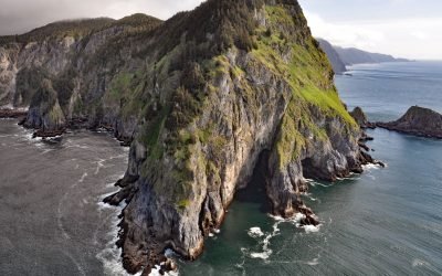
Helm Point, Coronation Island
Helm Point is a prominent headland at the southern tip of Coronation Island in the Alexander Archipelago of Southeast Alaska, between Chatham and Sumner Straits, about 94 miles (151 km) south-southeast of Sitka and 86 miles (138 km) southwest of Wrangell, Alaska.
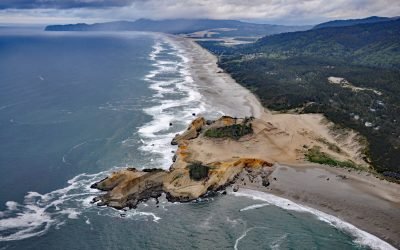
Cape Kiwanda, Pacific City
Cape Kiwanda is a sandstone headland with an elevation of 240 feet (73 m), protected by a basalt island known as Haystack Rock lying 0.5 miles (0.8 km) to the southwest, about 18 miles (29 km) south-southwest of Tillamook and 1 mile (1.6 km) northwest of Pacific City, Oregon.
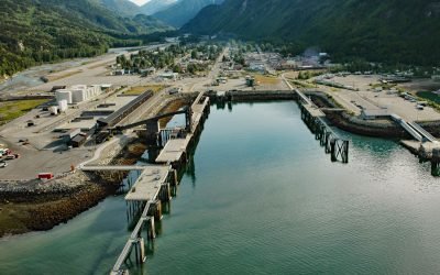
Skagway, Taiya Inlet
Skagway is a community at the mouth of the Skagway River, near the head of Taiya Inlet, about 90 miles (145 km) northwest of Juneau and 16 miles (26 km) north-northeast of Haines, Alaska.
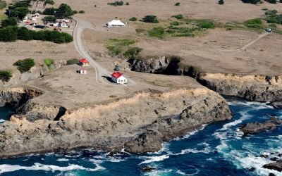
Point Cabrillo, Mendocino Coast
Point Cabrillo is a sandstone headland marked with a lighthouse on the Mendocino Coast between Point Arena and Cape Mendocino, about 6.7 miles (11 km) south of Fort Bragg and 1.3 miles (2 km) southwest of Caspar, California.
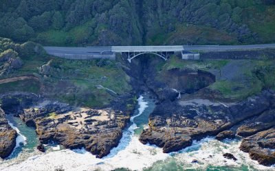
Thor’s Well, Cook’s Chasm
Thor’s Well is at Cook’s Chasm, a fissure in the rock approximately 400 feet (122 m) long and 60 feet (18 m) wide between Captain Cook Point and Cape Perpetua, about 20 miles (32 km) north of Florence and 2 miles (3.2 km) south of Yachats, Oregon.
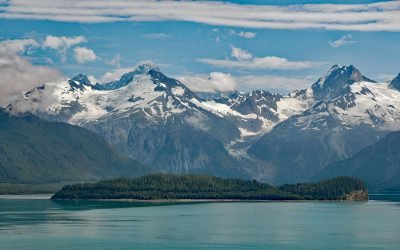
Cenotaph Island, Lituya Bay
Cenotaph Island is approximately in the middle of Lituya Bay, a fjord formed primarily by the Crillon and Lituya glaciers in Glacier Bay National Park and Preserve, about 117 miles (189 km) west-northwest of Juneau and 97 miles (156 km) southeast of Yakutat, Alaska.
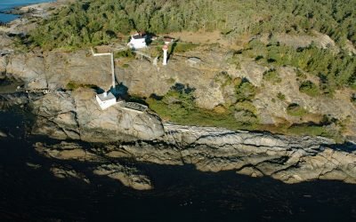
Discovery Island, Sea Bird Point
Discovery Island is part of a group of islands in Oak Bay off the southeastern tip of Vancouver Island at Sea Bird Point, about 17 miles (27 km) southeast of Sidney and 6.5 miles (10.5 km) east of downtown Victoria, British Columbia.
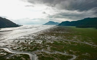
Tuxedni Bay, Cook Inlet
Tuxedni Bay is an estuary that extends southeast for 14 miles (23 km) from the mouth of Tuxedni River to Cook Inlet, at Chisik Island, about 59 miles (95 km) northwest of Homer and 57 miles (92 km) southwest of Kenai, Alaska.
About the background graphic
This ‘warming stripe’ graphic is a visual representation of the change in global temperature from 1850 (top) to 2019 (bottom). Each stripe represents the average global temperature for one year. The average temperature from 1971-2000 is set as the boundary between blue and red. The colour scale goes from -0.7°C to +0.7°C. The data are from the UK Met Office HadCRUT4.6 dataset.
Click here for more information about the #warmingstripes.