
Rivers
Recent Articles
More Articles
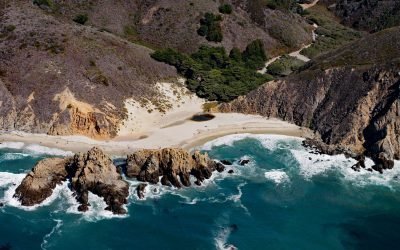
Sycamore Creek, Pfeiffer Beach
Sycamore Creek flows to Pfeiffer Beach on the Big Sur coast, about 26 miles (42 km) south of Monterey and 21 miles (34 km) northwest of Lucia, California.
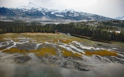
Cannery Creek, Unakwik Inlet
Cannery Creek is the site of a salmon hatchery on the eastern shore of Unakwik Inlet in Prince William Sound and the Chugach National Forest, about 42 miles (68 km) northeast of Whittier and 41 miles (66 km) west-southwest of Valdez, Alaska.
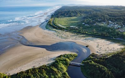
Beaver Creek, Ona Beach
Beaver Creek flows generally west for 16 miles (26 km) to the Pacific Ocean at Ona Beach, approximately 9 miles (14.5 km) south of Newport and 7 miles (11.3 km) north of Waldport, Oregon.
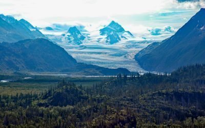
Grewingk Glacier, Kachemak Bay
Grewingk Glacier starts in the Kenai Mountains and flows generally northwest for 11 miles (18 km) to a proglacial lake about 2 miles (3.2 km) long that is drained by Grewingk Creek that flows 3.5 miles (6 km) to the southern shore of Kachemak Bay, about 25 miles (40 km) northeast of Seldovia and 16 miles (25 km) east-southeast of Homer, Alaska.
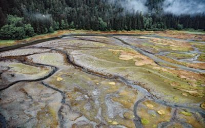
Limestone Inlet, Stephens Passage
Limestone Inlet, 0.25 miles (0.4 km) wide, extends about 2 miles (3.2 km) into the mainland from the eastern shore of Stephens Passage, approximately 84 miles (135 km) northeast of Sitka and 25 miles (40 km) southeast of Juneau, Alaska.
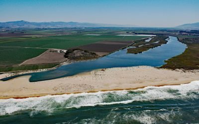
Salinas River, Castroville
The Salinas River begins in the central California Coast Ranges and flows 175 miles (282 km) generally northwest to Monterey Bay, approximately 12 miles (19 km) north-northeast of Monterey and 3 miles (5 km) west-southwest of Castroville, California.
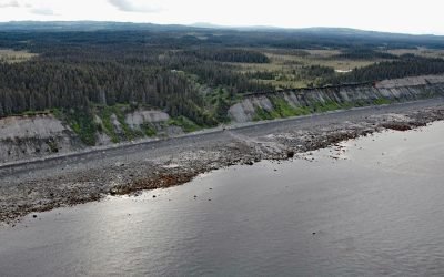
Travers Creek, Kachemak Bay
Travers Creek flows generally west-southwest to the north shore of Kachemak Bay, approximately 3.5 miles (5.5 km) south of Anchor Point and 12 miles (19 km) northwest of Homer, Alaska.
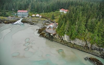
Annex Creek, Taku Inlet
Annex Creek flows southeast for 5 miles (8 km) through the Annex Lakes to Taku Inlet, about 0.35 miles (0.6 km) southwest of the Annex Creek hydroelectric power facility and 12 miles (19 km) east of Juneau, Alaska.
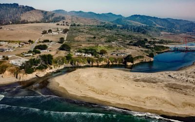
Ten Mile River, MacKerricher State Park
The Ten Mile River flows southwest for 7 miles (11 km) to the Pacific Ocean at the northern border of MacKerricher State Park, about 9 miles (15 km) north-northeast of the Noyo River at Fort Bragg and 5.7 miles (9.2 km) south of Westport, California.
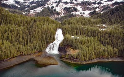
Cascade Falls, Eaglek Bay
Cascade Falls descends to Cascade Bay, an estuary extending 1.5 miles (2.4 km) northwest from Eaglek Bay in northern Prince William Sound, about 52 miles (84 km) west-southwest of Valdez and 32 miles (51.5 km) east-northeast of Whittier, Alaska.
About the background graphic
This ‘warming stripe’ graphic is a visual representation of the change in global temperature from 1850 (top) to 2019 (bottom). Each stripe represents the average global temperature for one year. The average temperature from 1971-2000 is set as the boundary between blue and red. The colour scale goes from -0.7°C to +0.7°C. The data are from the UK Met Office HadCRUT4.6 dataset.
Click here for more information about the #warmingstripes.