
Rivers
Recent Articles
More Articles
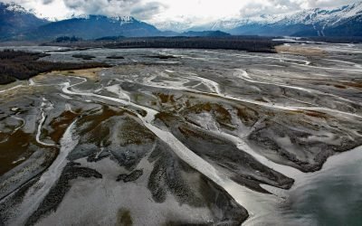
Old Valdez Townsite, Valdez Glacier Stream
Old Valdez was the original townsite of Valdez built on the outwash plain formed by Valdez Glacier which is drained by Valdez Glacier Stream that flows generally south-southeast for 4.5 miles (7 km) to Port Valdez in Prince William Sound, about 43 miles (69 km) north-northwest of Cordova and 3.7 miles (6 km) southeast of Valdez, Alaska.
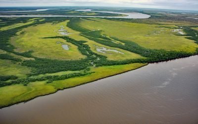
Eek River, Kuskokwim Delta
Eek River drains a watershed of 408,959 acres (165,500 ha) and flows generally west-northwest for 108 miles (174 km) to the Kuskokwim Delta, about 40 miles (64 km) south-southwest of Bethel and 32 miles (51 km) north of Quinhagak, Alaska.

Brentwood Bay, Saanich Inlet
Brentwood Bay is a community within the municipality of Central Saanich on the eastern shore of Saanich Inlet, about 11 miles (18 km) north-northwest of the city of Victoria and 6 miles (10 km) south-southwest of Sidney, British Columbia.
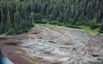
Dundas Bay, Glacier Bay National Park and Preserve
Dundas Bay is located on the north shore of Icy Strait in Glacier Bay National Park and Preserve, about 24 miles (39 km) west of Gustavus and 11 miles (18 km) north of Elfin Cove, Alaska.
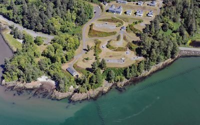
Fort Columbia, Chinook Point
Fort Columbia, a historic military facility situated on Chinook Point, defended the entrance to the Columbia River from 1896 to 1947 and is now a state park, about 7 miles (11 km) southeast of Ilwaco and 6 miles (10 km) northwest of Astoria, Oregon.
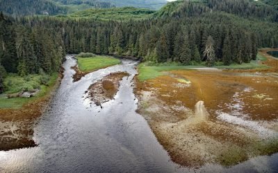
Crab River, Devastation Channel
Crab River flows into Devastation Channel near the entrance to Alan Reach of Gardner Canal, about 81 miles (130km) southeast of Prince Rupert and 28 miles (45km) south-southwest of Kitamaat, British Columbia.
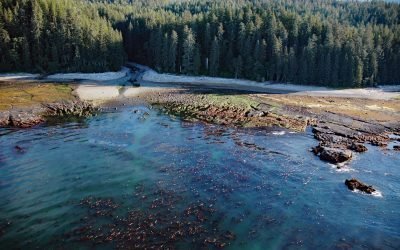
SS Uzbekistan, Darling River
The wreck of the SS Uzbekistan is situated at the mouth of the Darling River, which flows south for 6 miles (10 km) through the heavily logged interior forests of southwestern Vancouver Island, about 31 miles (50 km) northwest of Port Renfrew and 9 miles (15 km) south-southeast of Bamfield, British Columbia.
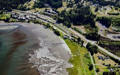
Blyn, Sequim Bay
Blyn is a small community located where Jimmycomelately Creek flows into Sequim Bay on the northern coast of the Olympic Peninsula, about 13 miles (21 km) southwest of Port Townsend and 7 miles (11 km) southeast of Sequim, Washington.
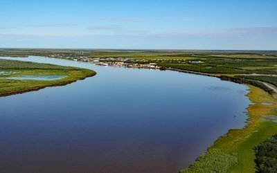
Emmonak, Yukon River Delta
Emmonak is a Yup’ik community located in the Yukon River Delta, approximately 14 miles (23 km) upstream from the Bering Sea, about 92 miles (148 km) west-southwest of Saint Michael and 20 miles (32 km) northeast of Nunam Iqua, Alaska.
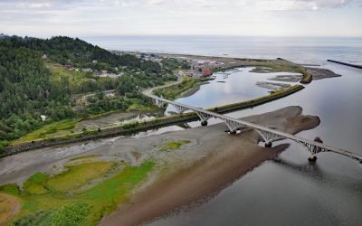
Rogue River, Gold Beach
The Rogue River flows west for 215 miles (346 km) to the Pacific Ocean, about 23 miles (37 km) south-southeast of Port Orford and at Gold Beach, Oregon.
About the background graphic
This ‘warming stripe’ graphic is a visual representation of the change in global temperature from 1850 (top) to 2019 (bottom). Each stripe represents the average global temperature for one year. The average temperature from 1971-2000 is set as the boundary between blue and red. The colour scale goes from -0.7°C to +0.7°C. The data are from the UK Met Office HadCRUT4.6 dataset.
Click here for more information about the #warmingstripes.