
Rivers
Recent Articles
More Articles
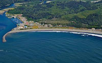
La Push, Quillayute River
La Push is the traditional community of the Quileute people situated at the mouth of the Quillayute River within the Quileute Indian Reservation and surrounded by the coastal strip of Olympic National Park, about 32 miles (51 km) south of Neah Bay and 12 miles (19 km) west-southwest of Forks, Washington.
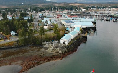
Petersburg, Mitkof Island
Petersburg is a community on the north end of Mitkof Island where the northern entrance to Wrangell Narrows meets Frederick Sound, about 116 miles (187 km) southeast of Juneau and 32 miles (52 km) northwest of Wrangell, Alaska.
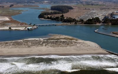
Elkhorn Slough, Moss Landing
Elkhorn Slough is an estuary about 7 miles (11 km) long that connects with Monterey Bay at the community of Moss Landing, about 17 miles (27 km) southeast of Santa Cruz and 16 miles (26 km) north-northeast of Monterey, California.
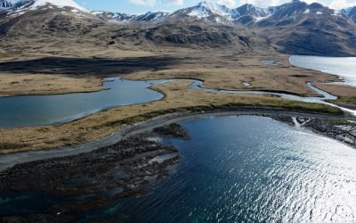
Kashega, Unalaska Island
Kashega is an abandoned Unangan Aleut village on the Bering Sea coast of Unalaska Island, situated on a spit between Brennan Lake and Kashega Bay, about 79 miles (127 km) northeast of Nikolski and 39 miles (63 km) southwest of Dutch Harbor, Alaska.
Ninilchik, Kenai Peninsula
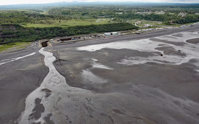
Ninilchik is a community at Cape Ninilchik at the mouth of the Ninilchik River on the Kenai Peninsula, on the eastern shore of Cook Inlet, about 99 miles (160 km) southwest of Anchorage and 30 miles (48 km) north-northwest of Homer, Alaska.
Lions Gate Bridge, Burrard Inlet
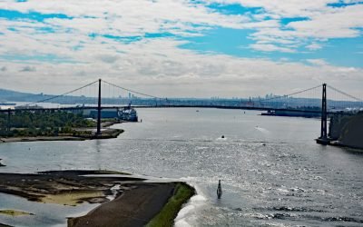
Lions Gate Bridge spans Burrard Inlet at the First Narrows, a strait about 1,312 feet (400 m) wide between Prospect Point in Stanley Park to the south and the sandy shoals of the Capilano River mouth to the north, about 2 miles (3.2 km) southeast of West Vancouver and 2 miles (3.2 km) northwest of downtown Vancouver, British Columbia.
Grand Plateau Glacier, Fairweather Range
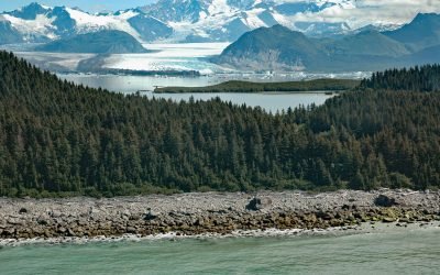
Grand Plateau Glacier starts on the north flank of Mount Fairweather in the Fairweather Range of the Saint Elias Mountains and flows generally northwest for 19 miles (31 km) where it splits into two terminal lobes, with the southern lobe flowing 6 miles (10 km) to Grand Plateau Lake, about 142 miles (229 km) northwest of Juneau and 70 miles (113 km) southeast of Yakutat, Alaska.
Drift Creek Landing, Alsea River
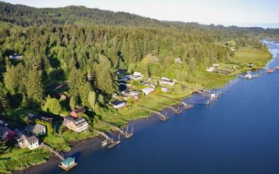
Drift Creek Landing is a community on the south bank of the Alsea River, opposite the confluence of Drift Creek, a major Coast Range tributary joining the Alsea about 3.4 miles (5.5 km) east of Waldport, about 16 miles (26 km) south-southeast of Newport and 9 miles (15 km) northeast of Yachats, Oregon.
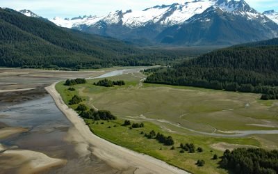
Eagle River Beach, Favorite Channel
Eagle Beach is at the mouth of Eagle River on the eastern shore of Favorite Channel, about 68 miles (109 km) south-southeast of Skagway and 22 miles (35 km) northwest of Juneau, Alaska.
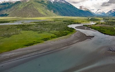
Portage, Turnagain Arm
Portage is a historical community and railroad siding at milepost 64.2 on the Alaska Railroad at the head of Turnagain Arm in the Chugach National Forest, about 41 miles (66 km) south of Anchorage and 11 miles (18 km) northwest of Whittier, Alaska.
About the background graphic
This ‘warming stripe’ graphic is a visual representation of the change in global temperature from 1850 (top) to 2019 (bottom). Each stripe represents the average global temperature for one year. The average temperature from 1971-2000 is set as the boundary between blue and red. The colour scale goes from -0.7°C to +0.7°C. The data are from the UK Met Office HadCRUT4.6 dataset.
Click here for more information about the #warmingstripes.