
Rivers
Recent Articles
More Articles
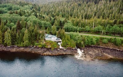
Whitman Creek, Revillagigedo Island
Whitman Creek is on the southeast coast of Revillagigedo Island, about 14 miles (23 km) north of Metlakatla and 7 miles (11 km) east-southeast of Ketchikan, Alaska.
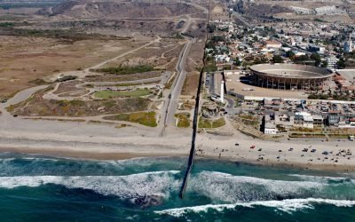
Border Field State Park, Playas de Tijuana
Border Field State Park is part of the Tijuana River National Estuarine Research Reserve, adjacent to the urban neighborhood of Playas de Tijuana, Mexico, located about 12 miles (19 km) south of San Diego, it lies within the city limits of Imperial Beach, California.

McArthur River, Trading Bay
McArthur River flows southeast to Trading Bay on the west coast of Cook Inlet, approximately 65 miles (105 km) southwest of Anchorage and 29 miles (46 km) northwest of Kenai, Alaska.
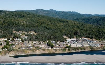
Gualala, Gualala River
The Gualala River flows into the Pacific Ocean at the community of Gualala, approximately 92 miles (148 km) northwest of San Francisco and 40 miles (64 km) south-southeast of Mendocino, California.

Claxton, Telegraph Passage
Claxton is a historical salmon cannery and community at the mouth of Claxton Creek on the eastern shore of Telegraph Passage in the Skeena River estuary, about 66 miles (106 km) southwest of Terrace and 19 miles (31 km) south-southeast of Prince Rupert, British Columbia.

Black Bear Creek, Cleveland Peninsula
Black Bear Creek is located on the southwest coast of the Cleveland Peninsula, approximately 52 miles (84 km) south of Wrangell and 35 miles (56 km) northwest of Ketchikan, Alaska.
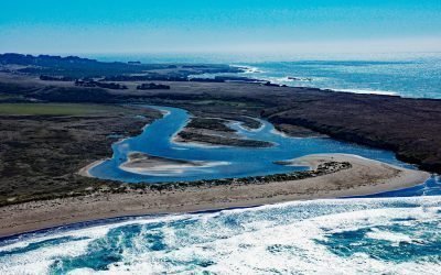
Garcia River, Manchester Beach
The Garcia River flows generally northwest for 44 miles (71 km) to Manchester Beach, north of Point Arena Lighthouse and at Manchester State Park, about 34 miles (55 km) south of Fort Bragg and 4 miles (6.4 km) northwest of the community of Point Arena, California.

Tutka River, Kachemak Bay
The Tutka River flows generally westward to the head of Tutka Bay, a fjord on the southern coast of Kachemak Bay, approximately 18 miles (29 km) southeast of Homer and 15 miles (24 km) east of Seldovia, Alaska.
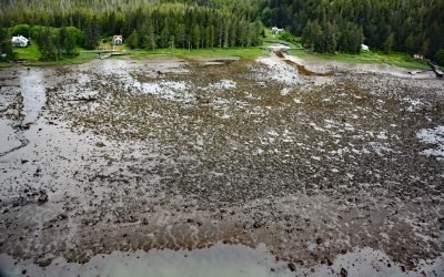
Osland, Smith Island
Osland was once an active fishing and boatbuilding community on the east coast of Smith Island at the mouth of the Skeena River, about 68 miles (109 km) southwest of Terrace and 14 miles (23 km) south-southeast of Prince Rupert, British Columbia.
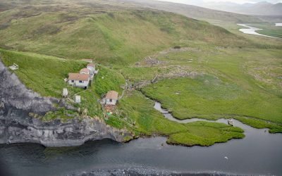
Ayakulik River, Kodiak Island
The Ayakulik River flows generally south for 30 miles (48 km) to the Shelikof Strait coast of Kodiak Island, about 89 miles (143 km) southwest of Kodiak and 22 miles (35 km) northwest of Akhiok, Alaska.
About the background graphic
This ‘warming stripe’ graphic is a visual representation of the change in global temperature from 1850 (top) to 2019 (bottom). Each stripe represents the average global temperature for one year. The average temperature from 1971-2000 is set as the boundary between blue and red. The colour scale goes from -0.7°C to +0.7°C. The data are from the UK Met Office HadCRUT4.6 dataset.
Click here for more information about the #warmingstripes.