
Rivers
Recent Articles
More Articles
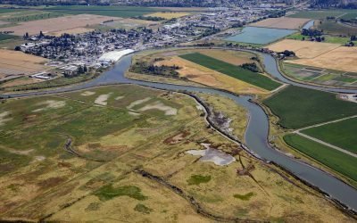
Leque Island, South Pass Stillaguamish River
Leque Island is located at the mouth of the Stillaguamish River on South Pass channel that separates Camano Island from the mainland, about 43 miles (69 km) north of Seattle and 0.6 miles (1 km) southwest of Stanwood, Washington.
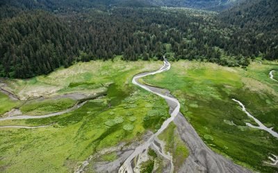
Sadie River, Kachemak Bay
Sadie River starts on the western flank of the Kenai Mountains at an elevation of about 3,200 feet (975 m) and flows generally west-northwest for 6 miles (10 km) through Kachemak Bay State Park to the head of Sadie Cove, about 14.5 miles (23 km) south-southeast of Homer and 13 miles (20 km) east-northeast of Seldovia, Alaska.

Carlisle Cannery, Skeena River
Carlisle is a historical remote salmon cannery on the east bank at the mouth of the Skeena River, about 66 miles (106 km) southwest of Terrace and 17 miles (27 km) southeast of Prince Rupert, British Columbia.
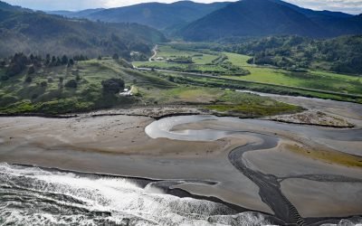
Ophir, Euchre Creek
Ophir is a small community on Euchre Creek in Curry County, about 0.5 miles (0.8 km) upstream from the Pacific Ocean, and 4 miles (6.5 km) northeast of the community of Nesika Beach, Oregon.
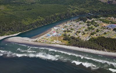
Taholah, Quinault River
Taholah is a community located at the mouth of the Quinault River on lands of the Quinault Indian Nation, about 9 miles (14 km) north of Moclips and 41 miles (66 km) north of Hoquiam on the Olympic Peninsula, Washington.
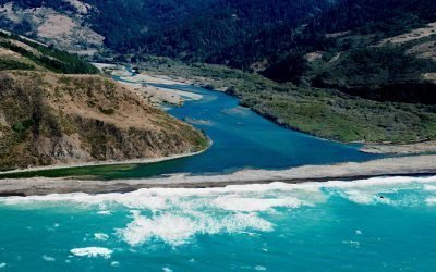
Mattole River, Lost Coast
The Mattole River flows approximately 62 miles (100 km) through the King Range to the Lost Coast at the Punta Gorda State Marine Reserve, about 10 miles (16 km) south of Cape Mendocino and 4 miles (6.4 km) west-southwest of Petrolia, California.

Amherst Glacier, College Fjord
Amherst Glacier flows northwest for 4 miles (6.5 km) from the Chugach Mountains to a terminus lake, located 5.5 miles (9 km) northeast of Point Pakenham in College Fjord, the northwestern-most part of Prince William Sound, and 52 miles (83 km) southwest of Valdez, Alaska.

Ecola Creek, Cannon Beach
Ecola Creek flows into the Pacific Ocean at the northern edge of Cannon Beach, a small resort community approximately 30 miles (48 km) north of Tillamook and 8 miles (12 km) south of Seaside, Oregon.
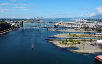
Seymour River, Burrard Inlet
The Seymour River flows from a large reservoir into Burrard Inlet in North Vancouver, British Columbia.

Beaver Falls Creek, George Inlet
Beaver Falls Creek is on Revillagigedo Island, on the western shore of George Inlet, 5.3 miles (8.5 km) northeast of Ketchikan, Alaska.
About the background graphic
This ‘warming stripe’ graphic is a visual representation of the change in global temperature from 1850 (top) to 2019 (bottom). Each stripe represents the average global temperature for one year. The average temperature from 1971-2000 is set as the boundary between blue and red. The colour scale goes from -0.7°C to +0.7°C. The data are from the UK Met Office HadCRUT4.6 dataset.
Click here for more information about the #warmingstripes.