
Rivers
Recent Articles
More Articles
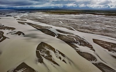
Copper River, Copper River Delta
The Copper River watershed drains about 24,000 square miles (62,000 sq km) in the Wrangell, Chugach, and Saint Elias Mountains and the mainstem flows for about 290 miles (470 km) to the Gulf of Alaska where it creates a wide delta, about 195 miles west-northwest of Yakutat and 30 miles southeast of Cordova, Alaska.
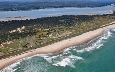
Camp Castaway, North Spit Coos Bay
Camp Castaway is a historical site on North Spit of Coos Bay, a sandy, vegetated peninsula separating the estuary of the Coos River from the Pacific Ocean, about 3.8 miles (6 km) west of North Bend and 1 mile (1.6 km) north of Charleston, Oregon.
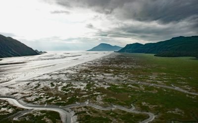
Tuxedni Bay, Cook Inlet
Tuxedni Bay is an estuary that extends southeast for 14 miles (23 km) from the mouth of Tuxedni River to Cook Inlet, at Chisik Island, about 59 miles (95 km) northwest of Homer and 57 miles (92 km) southwest of Kenai, Alaska.
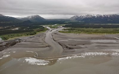
SS Portland, Katalla River
SS Portland is a shipwreck at the mouth of the Katalla River, near the abandoned oil prospecting community of Katalla, about 70 miles (113 km) west-northwest of Yakataga and 48 miles (77 km) southeast of Cordova, Alaska.
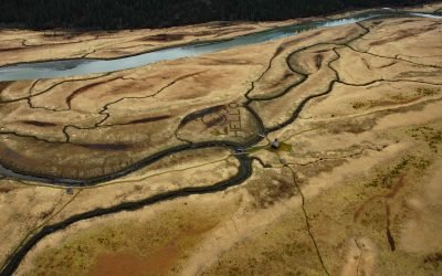
King Slough, Stikine River
King Slough is a water passage between Farm Island and Dry Island in the Stikine River delta, about 22 miles (36 km) southeast of Petersburg and 11 miles (18 km) north-northwest of Wrangell, Alaska.

Baranof, Warm Springs Bay
Baranof is a community located at the head of Warm Springs Bay, at the outlet of Baranof Lake, on the Chatham Strait coast of Baranof Island, about 86 miles (139 km) south-southwest of Juneau and 20 miles (32 km) east of Sitka, Alaska.
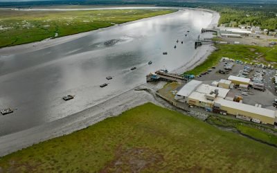
Kenai River, Cook Inlet
Kenai River flows into Cook Inlet on the western shore of the Kenai Peninsula, about 65 miles (105 km) southwest of Anchorage and at the community of Kenai, Alaska.
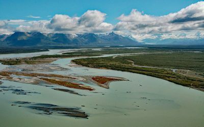
Alsek River, Dry Bay
Alsek River flows into the Gulf of Alaska at Dry Bay, close to the northern boundary of Glacier Bay National Park and Preserve, about 162 miles (261 km) northwest of Juneau and 50 miles (81 km) southeast of Yakutat, Alaska.

McNeil River, Kamishak Bay
McNeil River starts from glaciers and alpine lakes in the Aleutian Range of the Alaska Peninsula and flows generally northeast for 35 miles (56 km) to McNeil Cove in Kamishak Bay, 103 miles (166 km) southwest of Homer and 101 miles (163 km) northwest of Kodiak, Alaska.
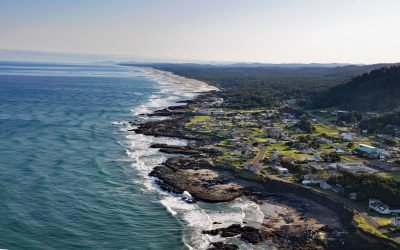
Yachats, Yachats River
Yachats is a small community at the mouth of the Yachats River on the central Oregon coast, about 54 miles (87 km) northwest of Eugene and 22 miles (35 km) south of Newport, Oregon.
About the background graphic
This ‘warming stripe’ graphic is a visual representation of the change in global temperature from 1850 (top) to 2019 (bottom). Each stripe represents the average global temperature for one year. The average temperature from 1971-2000 is set as the boundary between blue and red. The colour scale goes from -0.7°C to +0.7°C. The data are from the UK Met Office HadCRUT4.6 dataset.
Click here for more information about the #warmingstripes.