
Shipwrecks
Recent Articles
More Articles
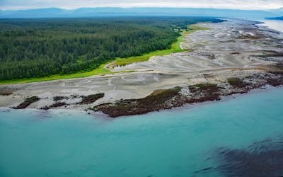
Ancon Rock, Point Gustavus
Ancon Rock is a reef located about 0.5 miles (0.8 km) off Point Gustavus on the eastern shore, at the entrance to Glacier Bay within Glacier Bay National Park and Preserve, about 55 miles (89 km) west of Juneau and 8.5 miles (12 km) southwest of Gustavus, Alaska.
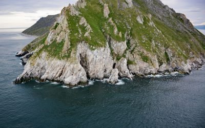
Sledge Island, Bering Sea
Sledge Island, 1.5 miles (2.4 km) across, lies in the Bering Sea, 5 miles (8 km) off the Seward Peninsula’s south coast, about 95 miles (153 km) southeast of Wales and 25 miles (40 km) west of Nome, Alaska.
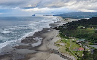
Winema Beach, Oretown
Winema Beach, a coastal strip adjacent to Winema Lake, was once the site of a town platted as Wi‑Ne‑Ma near Oretown in southern Tillamook County, about 15 miles (24 km) north of Lincoln City and 4 miles (6 km) south of Pacific City, Oregon.
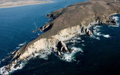
Tomales Point, Point Reyes National Seashore
Tomales Bluff is a headland forming the northern tip of Tomales Point in Point Reyes National Seashore National Seashore, about 45 miles (72 km) northwest of San Francisco and 7 miles (11 km) south-southeast of Bodega Bay, California.
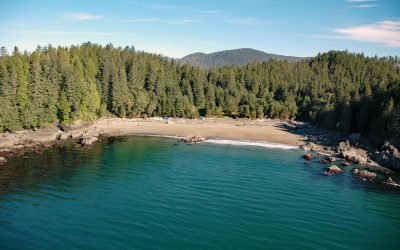
Clo-oose, Cheewhat River
Clo-oose is the site of an abandoned village of the Ditidaht First Nation on the southwest coast of Vancouver Island, above a beach 0.25 miles (0.4 km) west of the Cheewhat River mouth, about 20 miles (32 km) west-northwest of Port Renfrew and 19 miles (31 km) southeast of Bamfield, British Columbia.
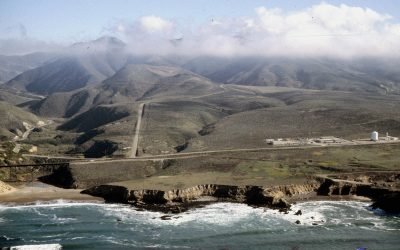
La Honda Canyon, Point Pedernales
La Honda Canyon is a valley formed by Cañada Honda Creek that enters the Pacific Ocean 0.4 miles (0.6 km) near Woodbury Rocks north of Point Pedernales, about 56 miles (90 km) west-northwest of Santa Barbara and 11 miles (18 km) west-southwest of Lompoc, California.
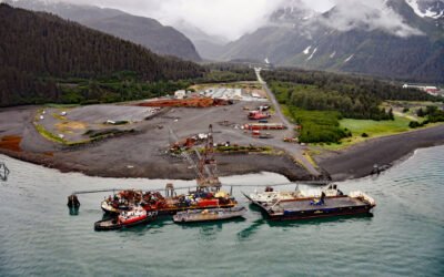
Fourth of July Creek, Resurrection Bay
Fourth of July Creek originates from a series of unnamed glaciers and snowfields on the Resurrection Peninsula in the Chugach Mountains on the Kenai Peninsula, and flows generally west for 3.2 miles (5 km) to an alluvial fan where it joins Godwin River and then flows southwest for 1.5 miles (2.4 km) to Resurrection Bay, about 53 miles (85 km) south-southwest of Whittier and 3.6 miles (6 km) southeast of Seward, Alaska.
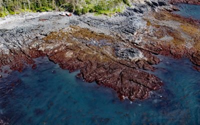
FV Kathy Joanne, Chugach Bay
FV Kathy Joanne is a shipwreck located on Badger Point, a peninsula between Chugach Bay and Windy Bay on the outer coast of the Kenai Peninsula at the southern end of the Kenai Mountains, about 95 miles (153 km) southwest of Seward and 18 miles (29 km) southeast of Seldovia, Alaska.
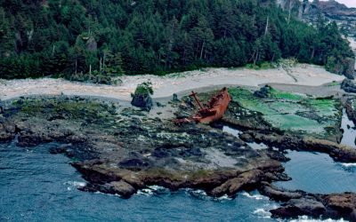
SS Clarksdale Victory, Hippa Island
SS Clarksdale Victory is a shipwreck on the west coast of Hippa Island, 1.5 miles (2.4 km) west of Graham Island in the Haida Gwaii Archipelago, about 49 miles (79 km) southwest of Masset and 42 miles (68 km) northwest of Queen Charlotte, British Columbia.
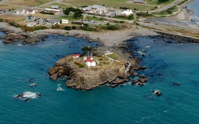
Battery Point, Crescent City
Battery Point forms the western shore of a crescent-shaped bight, and the harbor for Crescent City, about 22 miles (35 km) south-southeast of Brookings and 66 miles (106 km) north of Eureka, California.
About the background graphic
This ‘warming stripe’ graphic is a visual representation of the change in global temperature from 1850 (top) to 2019 (bottom). Each stripe represents the average global temperature for one year. The average temperature from 1971-2000 is set as the boundary between blue and red. The colour scale goes from -0.7°C to +0.7°C. The data are from the UK Met Office HadCRUT4.6 dataset.
Click here for more information about the #warmingstripes.