
Washington
Recent Articles
More Articles

New Dungeness Light Station, Dungeness Spit
New Dungeness Light Station is located on Dungeness Spit in Dungeness National Wildlife Refuge on the southern coast of the Strait of Juan de Fuca, about 17 miles (27 km) west-northwest of Port Townsend and 7 miles (11 km) north of Sequim, Washington.
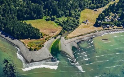
Lyre River, Low Point
Lyre River starts at the outlet of Lake Crescent in Olympic National Park and flows roughly northwest for 5 miles (8 km) to Low Point on the Strait of Juan de Fuca draining a watershed of 43,200 acres (17,482 ha), about 21 miles (34 km) southeast of Clallam Bay and 19 miles (31 km) west of Port Angeles, Washington.
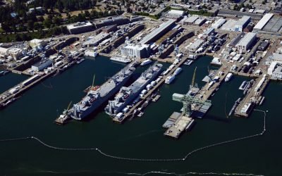
Puget Sound Naval Shipyard, Sinclair Inlet
Puget Sound Naval Shipyard is a U.S Navy facility on 179 acres (72.4 ha) on the north shore of Sinclair Inlet at Bremerton, about 23 miles (37 km) northwest of Tacoma and 15 miles (24 km) west of Seattle, Washington.
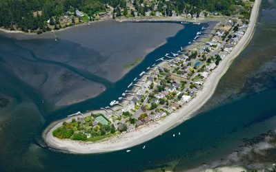
Indianola, Miller Bay
Indianola is located on the north shore of Port Madison and east shore of Miller Bay on the Port Madison Indian Reservation, about 14 miles (23 km) northwest of Seattle and 4.6 miles (7.4 km) east of Poulsbo, Washington.
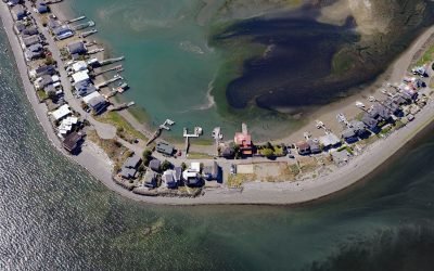
Hedley Spit, Bainbridge Island
Hedley Spit is a sand deposit with an elevation of about 3.5 feet (1 m), located on Bainbridge Island at Point Monroe, north of Faye Bainbridge State Park, about 11 miles (18 km) northwest of Seattle and 1 mile (1.6 km) northeast of Port Madison, Washington.
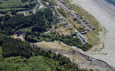
Moclips, Mocrocks Beach
Moclips is a coastal community located between the south shore of the Moclips River and Mocrocks Beach. It is situated about 83 miles (134 km) west of Tacoma and 27 miles (44 km) northwest of Aberdeen, Washington.
About the background graphic
This ‘warming stripe’ graphic is a visual representation of the change in global temperature from 1850 (top) to 2019 (bottom). Each stripe represents the average global temperature for one year. The average temperature from 1971-2000 is set as the boundary between blue and red. The colour scale goes from -0.7°C to +0.7°C. The data are from the UK Met Office HadCRUT4.6 dataset.
Click here for more information about the #warmingstripes.