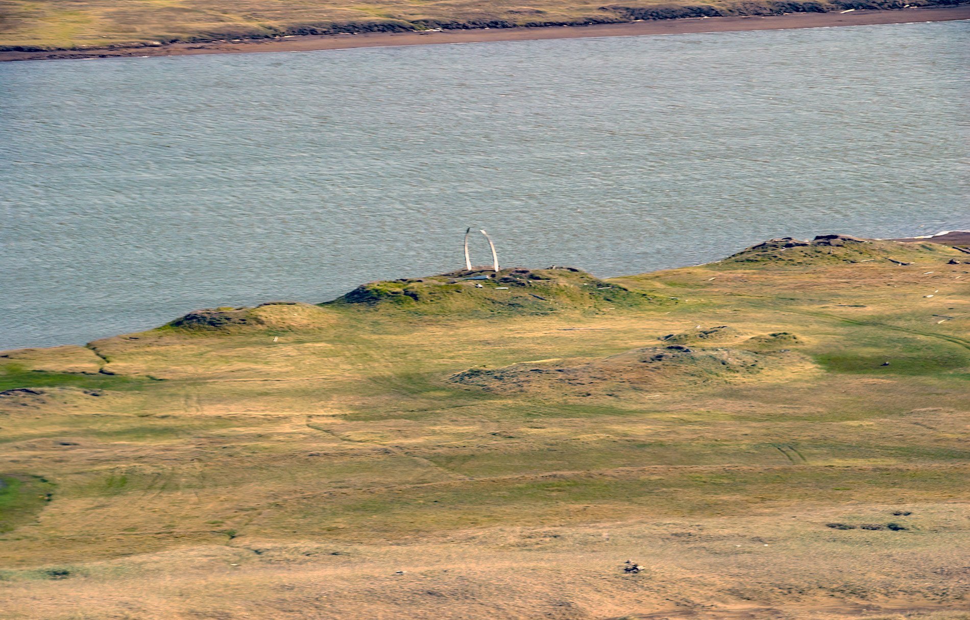
Nunagiak is an abandoned village at Point Belcher that dates to the prehistorical Thule culture, located about 78 miles (126 km) southwest of Utqiaġvik and 15 miles (24 km) northeast of Wainwright, Alaska. This coastline is a barrier beach that rises 6 to 10 feet (2-3 m) above sea level, and this beach has enclosed a series of lagoons that normally contain freshwater. The Nunagiak site consists of 13 mounds arranged along an old beach line about 700 feet (213 m) inland from the present shoreline of the Chukchi Sea. These mounds accumulated over time by the construction of new houses atop the ruins of old ones. These structures were not abandoned until well after contact with Euro-American whalers in the middle of the 19th century.
The Thule culture was well established in coastal Alaska by A.D. 1000 and expanded eastwards across Canada. They are the immediate ancestors of all Iñupiat and Inuit groups occupying the Arctic today. The Thule whalebone house is one of the most striking archaeological features of the Arctic landscape. The Thule and Iñupiat utilized dwellings that were typically semi-subterranean structures accessed by a long passage. The entrance passages were constructed from a series of upright bowhead whale jawbones or mandibles and roofed with timbers covered with sod. These entrance tunnels provided extra storage and workspace and served as additional protection from the external environment.
The positioning, size, design, and construction of the whalebone houses reflected the social status and wealth of whaling households. Whaling village social relations centered on the umialik, or whaling captains, who recruited crews that typically averaged 6-9 individuals. Dwelling size and the relative amount and type of whalebone incorporated in the dwellings were a symbolic display of social ranking. The combination of large dwelling size and the use of large numbers of whalebones that were high in both architectural utility and symbolic value in dwelling construction was an indicator of high status amongst umialik. At Nunagiak, this can be seen in the use of mandibles from large adult bowheads, probably in the 50-60 feet (16-18 m) range, atop one of the largest mounds at the site. These mandibles are clearly visible for several miles and were historically a display of status and hunting prowess, and are now used as a navigational marker. Read more here and here. Explore more of Nunagiak and Point Belcher here:

