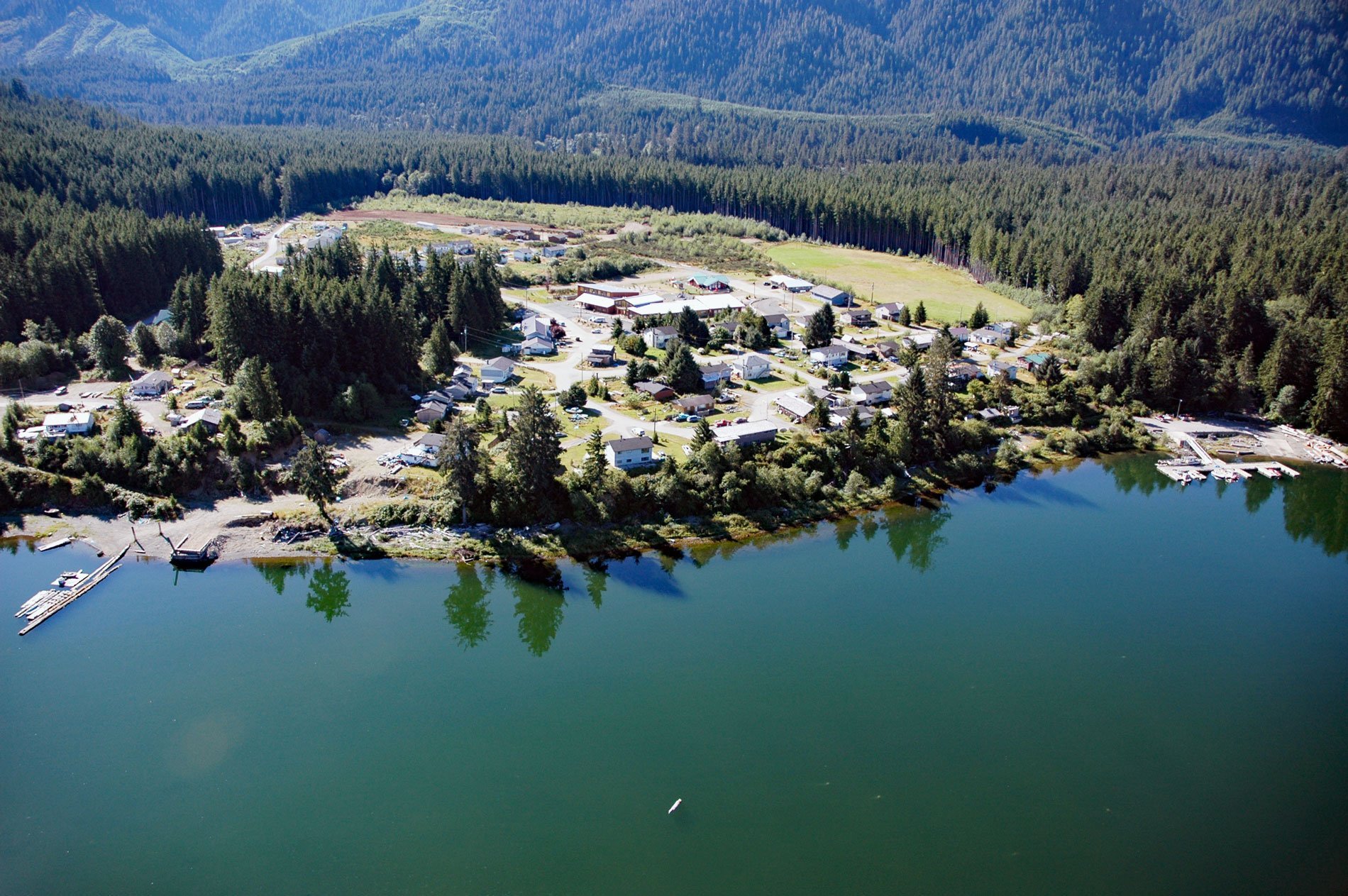
Malachan is a Ditidaht community of the Nuu-chah-nulth First Nation located at the head of Nitinat Lake on the west coast of Vancouver Island, 37 miles (60 km) southeast of Bamfield, and 93 miles (150 km) northwest by road from Victoria, British Columbia. The name “Ditidaht” (or Nitinat) means “people along the way” or “people along the coast”. Malachan is located at the northeastern end and southern shore of Nitinat Lake, a tidal inlet 14 miles (23 km) long.
Nitinat Lake is known for consistent winds that are popular with kiteboarders and windsurfers from around the world. The southern end of the lake is in the Pacific Rim National Park Reserve. Hitchie Creek Provincial Park and Nitinat Lake Ecological Reserve lie on opposite sides of the lakeshore about a third of the way from the lake’s northern shore and headwaters, which is fed by the Nitinat River and the Little Nitinat River. Nitinat Lake drains into the Pacific Ocean just north of the Pacific entrance to the Strait of Juan de Fuca via the Nitinat Narrows, a narrow tidal passage about 1.9 miles (3 km) long. The small First Nations village of Whyac lies on the southern lakeshore beside Nitinat Narrows and just north of the First Nations village of Clo-oose, also on the coast.
In the late 18th century when the Ditidaht people made contact with European traders, they were a loose alliance of a number of autonomous local groups that lived along the west coast of Vancouver Island. The Ditidaht historically fished for salmon, halibut, and other local fish species, and hunted and foraged for other foods to supplement their diet. Like other Nuu-chah-nulth nations, the Ditidaht traveled by canoe and on foot to get to and from hunting and fishing sites. European settlement in Ditidaht traditional territories meant significant changes to their lifestyle. Warfare and disease resulted in greater unity among the surviving local groups as villages were raided, people were killed and some groups became extinct. Changes in territories took place as groups disappeared or amalgamated with others in the 20th century. The Ditidaht were finally forced onto reserves and assimilated in Canadian culture through federal programs and policies such as residential schools. Read more here and here. Explore more of Malachan here:

