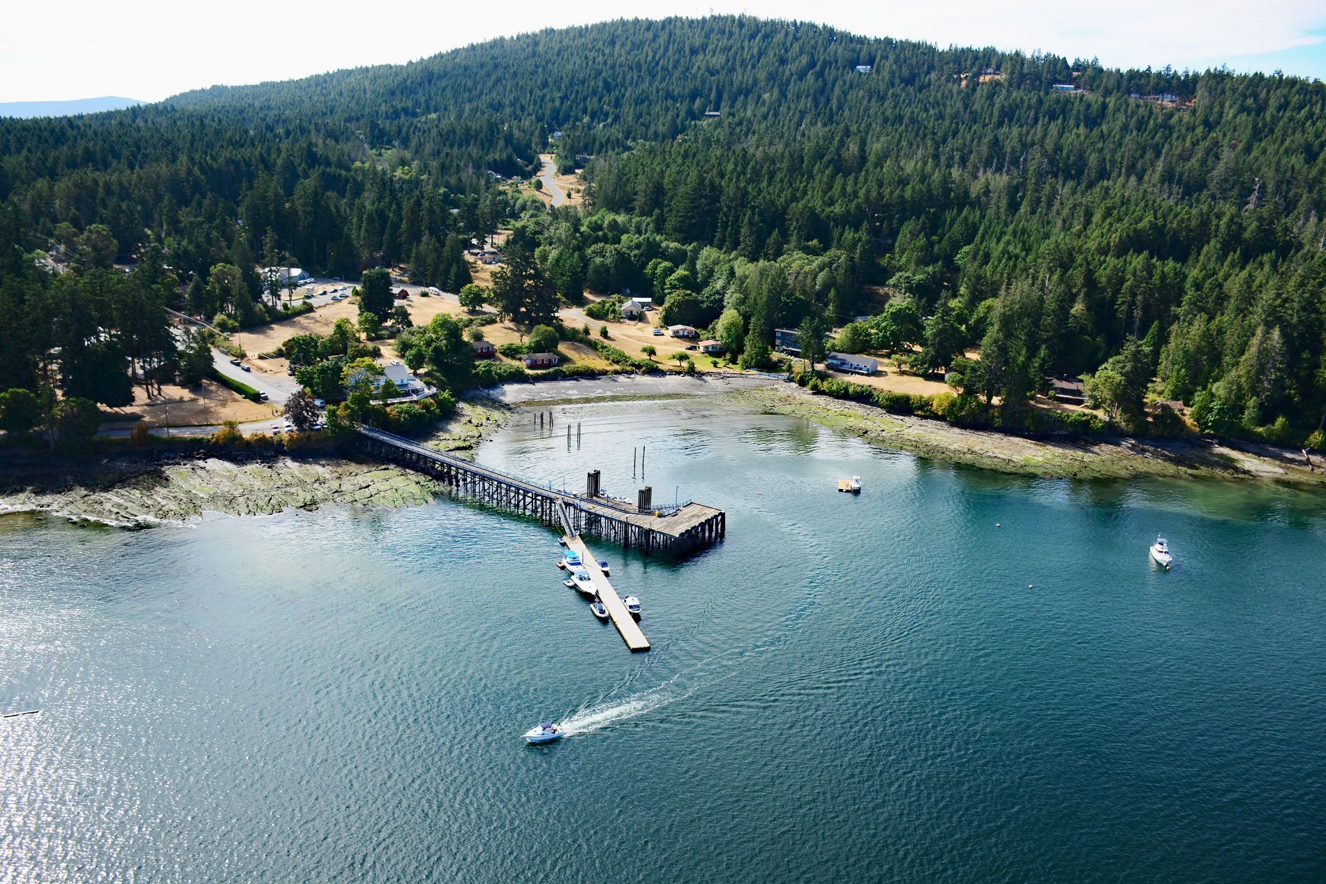
Miners Bay is located on Mayne Island, on the southeast side of Active Pass which separates Galiano and Mayne Islands, about 14.5 miles (23 km) north-northeast of Sidney, British Columbia. Mayne Island is in the southern Gulf Islands, midway between the Lower Mainland of British Columbia and Vancouver Island. The bay was named for gold miners who, during the Fraser Canyon Gold Rush of 1858-1860 and after, gathered on Mayne Island before rowing across Georgia Strait to the mainland in search of their fortunes.
Mayne Island was historically inhabited by the Tsartlip First Nation prior to European colonization. In 1794, Captain George Vancouver camped on Georgina Point where his crew left a coin and a knife found over a century later by early settlers. In 1857, Captain George Richards of the Royal Navy on the HMS Plumper surveyed and named the island after Lieutenant Richard Charles Mayne. In 1858, Miners Bay became a convenient stopover point for fortune seekers on their way to the Fraser River and Barkerville during the Fraser Canyon Gold Rush.
The earliest homesteaders registered land claims in the Miners Bay area in 1859. Working farms began in the 1890′s, and in 1887, Canon Paddon founded the Church of St. Mary Magdalene. Apple orchards flourished on the island in the early 1900s and the Mayne Island King Apple was among the first planted in British Columbia. Richard Hall, known as the Tomato King, built a greenhouse so large the horse-drawn cultivators could be driven through it. Japanese settlers followed his example and the greenhouse tomato business flourished until the start of World War II when the Japanese were forced to internment camps. During the late 19th century, Mayne Island was the commercial and social center of the Gulf Islands. The port at Miners Bay was always busy due to the steady stream of marine traffic traveling through Active Pass. Today, the narrow curving strait is the main ferry route between the British Columbia mainland and Vancouver Island. Read more here and here. Explore more of Miners Bay here:

