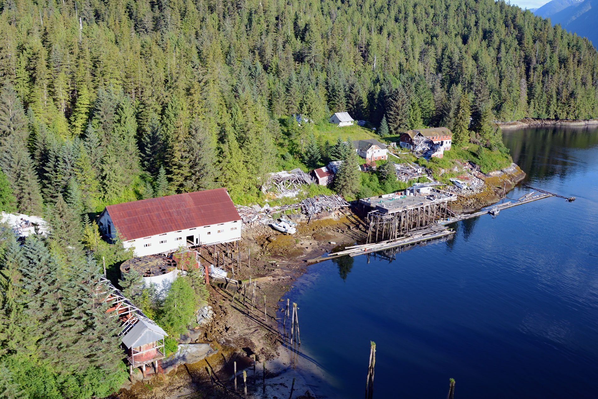
Butedale is a historical salmon cannery and community located on a small embayment adjacent to Butedale Falls along the Inside Passage on the northeast side of Princess Royal Island across from Work Island on the southern shore of Fraser Reach, which is part of Princess Royal Channel, about 103 miles (166 km) southeast of Prince Rupert and 59 miles (95 km) south of Kitimat, British Columbia. Butedale Falls is a high-volume waterfall that drains Butedale Lake at an elevation of 315 feet (96 m) and descends to sea level as a series of cascades. A midden site remaining from a pre-contact Haisla village is located at the foot of Butedale Falls. The Haisla name for this area is C’idexs. The cannery site and surrounding area comprise a Haisla stewardship area at the southern boundary of Haisla traditional territory, and historically eight Kitimat Haisla and two Kemano Haisla families lived year-round at Butedale.
Princess Royal Channel was charted during the Vancouver Expedition of 1793 with the ships Discovery and Chatham. In 1911, the embayment was a fishing, mining, and logging camp. A cannery and hydropower generator was established by Western Packers which was later purchased and operated by the Canadian Fishing Company. In 1917, a post office was established and named after an influential British aristocratic family descended from the 18th century British Prime minister John Stuart, the 3rd Earl of Bute, and originally from the Isle of Bute. Butedale developed into an important salmon center after the turn of the century. In 1918, Butedale was the northernmost salmon cannery in British Columbia. The peak summertime population was over 400 people until the cannery ceased operating in the 1950s. Incidental landings of halibut continued at Butedale because it was equipped with holding facilities and was near the major halibut grounds in northcentral British Columbia waters. Between 1940 and 1960, halibut landings at Butedale amounted to over 100,000 pounds (45,360 kg) annually.
Butedale is very isolated, only accessible by boat and floatplane, and the abandoned structures are quickly falling to ruin. The site now consists of several deteriorating buildings, wharves, and an operating hydroelectric facility situated at the base of Butedale Falls. Butedale is the only privately owned land on Princess Royal Island and is being marketed as a potential site for development. With approximately 30 acres (12 ha) of deeded land, 28 acres (11 ha) of deep tidewater bay, 64 acres (26 ha) of long-term leased land and rights of way, hydro-electric licenses, fresh water, and approved marine operation rights, the site is well situated to provide marine to the growing number of vessels transiting the Inside Passage. Read more here and here. Explore more of Butedale and Princess Royal Island here:

