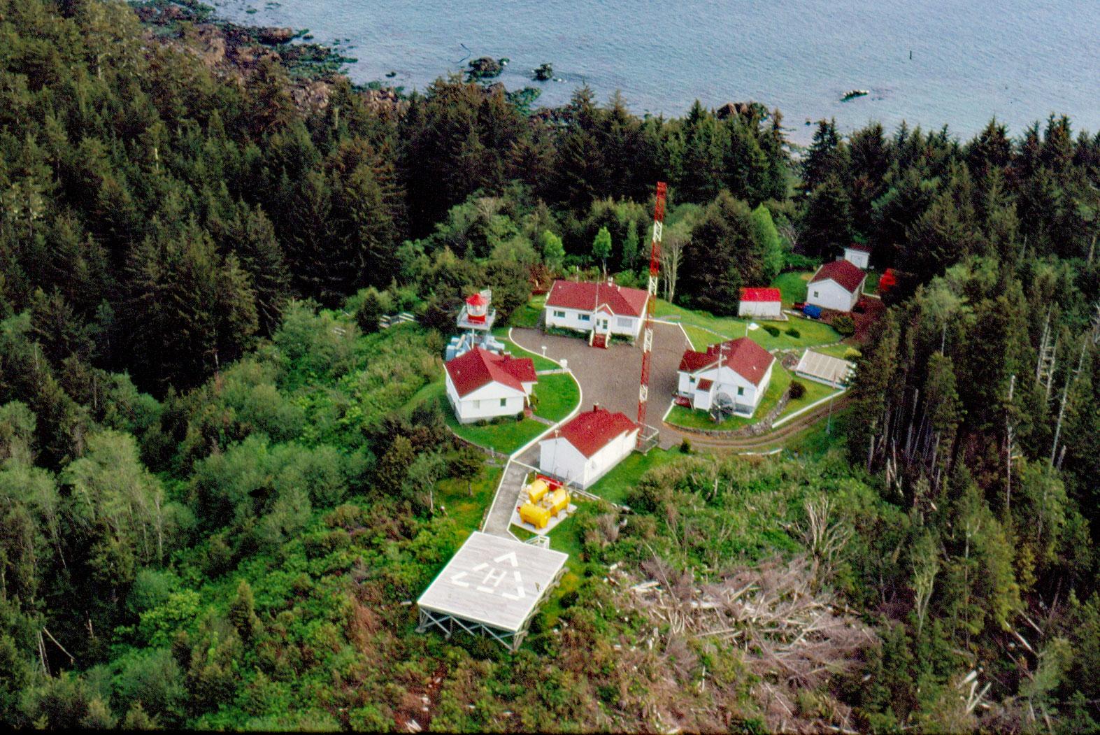
Cape Scott is a headland about 500 feet (150 m) high at the extreme northwestern point of Vancouver Island in Cape Scott Provincial Park, about 256 miles 412 km) south-southeast of Prince Rupert and 41 miles (66 km) west of Port Hardy, British Columbia. The promontory was discovered and named in 1786 by James C. Strange who led a fur trading expedition to the western coast of Vancouver Island using two vessels, Captain Cook under the command of Henry Lawrie and the Experiment captained by John Guise. Strange named the northwest tip of Vancouver Island ‘Cape Scott’ in honor of David Scott, a Mumbai merchant who had financed the adventure. The geology of Vancouver Island is characterized principally by rocks of the Wrangellia terrane, which extends south through all of Vancouver Island and north through Haida Gwaii into Southeast Alaska. Wrangellia was accreted to the Coast and Intermontane formations on the continent possibly during the Early Jurassic through the mid-Cretaceous period. Cape Scott comprises volcanic rocks of the Bonanza Group that include basaltic lavas, breccias, lapilli, and tuffs; intrusions of the Island Plutonic Suite; and limestone.
The Tlatlasikwala, Nakumgilisala, and Yutlinuk people shared the Cape Scott area prior to Euro-American settlement. The Yutlinuk of the Scott Islands died out in the early 1800s. The Nakumgilisala and Tlatlasikwala amalgamated in the mid-1850s and moved to Hope Island, where they remained until 1954. That year, numbering only 32, they joined with the Koskimo people and moved to Quatsino Sound. Today they are known collectively as the Nahwitti. They have six reserves, three of which are within the boundaries of Cape Scott Provincial Park. From 1897 to 1907 the first white settlement attempt was made at Cape Scott. The settlers were Danes, mostly from Minnesota, Iowa, Nebraska, and North Dakota, they were hoping to establish an ethnic community around Hansen Lagoon and Fisherman Bay. The colony struggled to survive by fishing and trapping mink, river otters, and beaver for their pelts. By 1907, the settlers had acknowledged the failure, and the colony was abandoned. In 1913, another wave of settlers arrived from Washington State, the prairie provinces, Eastern Canada and Europe to occupy land available for pre-emption. Many of these settlers established themselves in homes vacated by the Danes near Hansen Lagoon. The population of the second settlement peaked at over 1,000, then began a slow decline as the new residents encountered the same hardships as the Danes had experienced. Conscription in 1917 for service in World War I brought an end to the community.
Requirements of national security during World War II led to the construction of a small radar station at Cape Scott in 1942, which remained in operation until 1945. A string of five islands, known as the Scott Islands, extends westward from Cape Scott. Cox Island, the easternmost and largest of the group, is 5 miles (8 km) from the cape, while the outermost, Triangle Island, lies 29 miles (46.8 km) offshore. The first lighthouse was built on the summit of Triangle Island, but this was a poor location because fog, mist, or low clouds obscured the light for more than 240 days a year. In the 1950s, the increase in ocean-going vessels along the northwest coast, due mostly to the completion of an aluminum smelter at Kitimat, prompted the construction of three manned light stations at Cape Scott and Chatham Point in 1959, and at Bonilla Island in 1960. The headland is now part of the Cape Scott Provincial Park first established in 1973. Lanz and Cox Islands Provincial Park, which includes a marine reserve, is offshore and to the northwest of Cape Scott. The park is known for its remoteness, old-growth forest, and sandy beaches. The terrain is rugged and the area is notorious for heavy rain and violent storms. Read more here and here. Explore more of Cape Scott Light Station and Cape Scott Provincial Park here:

