
Alaska
Recent Articles
More Articles
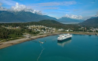
Haines, Chilkoot Inlet
Haines is a small Southeast Alaska community on the Chilkat Peninsula at the north end of Lynn Canal between Chilkat Inlet and Chilkoot Inlet, about 75 miles (121 km) north-northwest of Juneau and 15.5 miles (25 km) south-southwest of Skagway, Alaska.
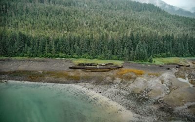
SS Islander, Green Cove
The remains of SS Islander and the salvage barge Griffson are in Green Cove on Stephens Passage, a waterway that separates the north shore of the Glass Peninsula on Admiralty Island from Douglas Island, about 86 miles (138 km) northeast of Sitka and 12 miles (19 km) southeast of Juneau, Alaska.
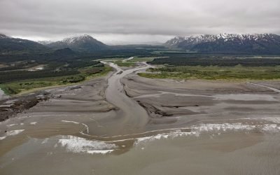
SS Portland, Katalla River
SS Portland is a shipwreck at the mouth of the Katalla River, near the abandoned oil prospecting community of Katalla, about 70 miles (113 km) west-northwest of Yakataga and 48 miles (77 km) southeast of Cordova, Alaska.
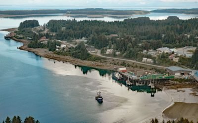
Yakutat, Monti Bay
Yakutat is a small community at the head of Monti Bay, on the southeast shore of Yakutat Bay, about 222 miles (358 km) east-southeast of Cordova and 210 miles (339 km) northwest of Juneau, Alaska.

Akutan Whaling Station, Akutan Harbor
Alaska Whaling Company built a whaling station in 1912 on the south shore of Akutan Harbor on Akutan Island, about 34 miles (55 km) northeast of Dutch Harbor and 1.5 miles (2.4 km) west-southwest of the village of Akutan, Alaska.
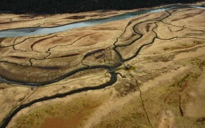
King Slough, Stikine River
King Slough is a water passage between Farm Island and Dry Island in the Stikine River delta, about 22 miles (36 km) southeast of Petersburg and 11 miles (18 km) north-northwest of Wrangell, Alaska.
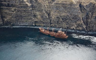
Aoyagi Maru, Lost Harbor
Aoyagi Maru is a Japanese flagged refrigerant ship that grounded on the south shore of Lost Harbor on Akun Island, about 135 miles (218 km) southwest of Cold Bay and 9 miles (14.5 km) northeast of Akutan, Alaska.
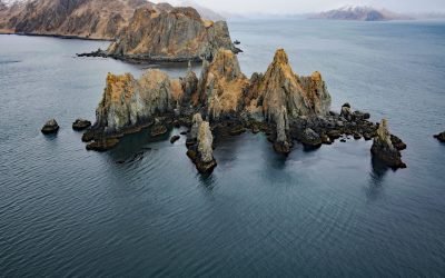
Cathedral Rocks, Makushin Bay
Cathedral Rocks is an island 0.3 miles (0.5 km) west of Cathedral Point on the northern shore of Makushin Bay, on the west coast of Unalaska Island in the Eastern Aleutians, about 98 miles (158 km) northwest of Nikolski and 18 miles (29 km) southwest of Dutch Harbor, Alaska.
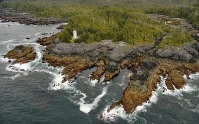
Tree Point, Revillagigedo Channel
Tree Point is the site of a historic lighthouse on the east shore of Revillagigedo Channel on the Southeast Alaska mainland, about 42 miles (68 km) northwest of Prince Rupert, and 48 miles (77 km) southeast of Ketchikan, Alaska.

Baranof, Warm Springs Bay
Baranof is a community located at the head of Warm Springs Bay, at the outlet of Baranof Lake, on the Chatham Strait coast of Baranof Island, about 86 miles (139 km) south-southwest of Juneau and 20 miles (32 km) east of Sitka, Alaska.
About the background graphic
This ‘warming stripe’ graphic is a visual representation of the change in global temperature from 1850 (top) to 2019 (bottom). Each stripe represents the average global temperature for one year. The average temperature from 1971-2000 is set as the boundary between blue and red. The colour scale goes from -0.7°C to +0.7°C. The data are from the UK Met Office HadCRUT4.6 dataset.
Click here for more information about the #warmingstripes.