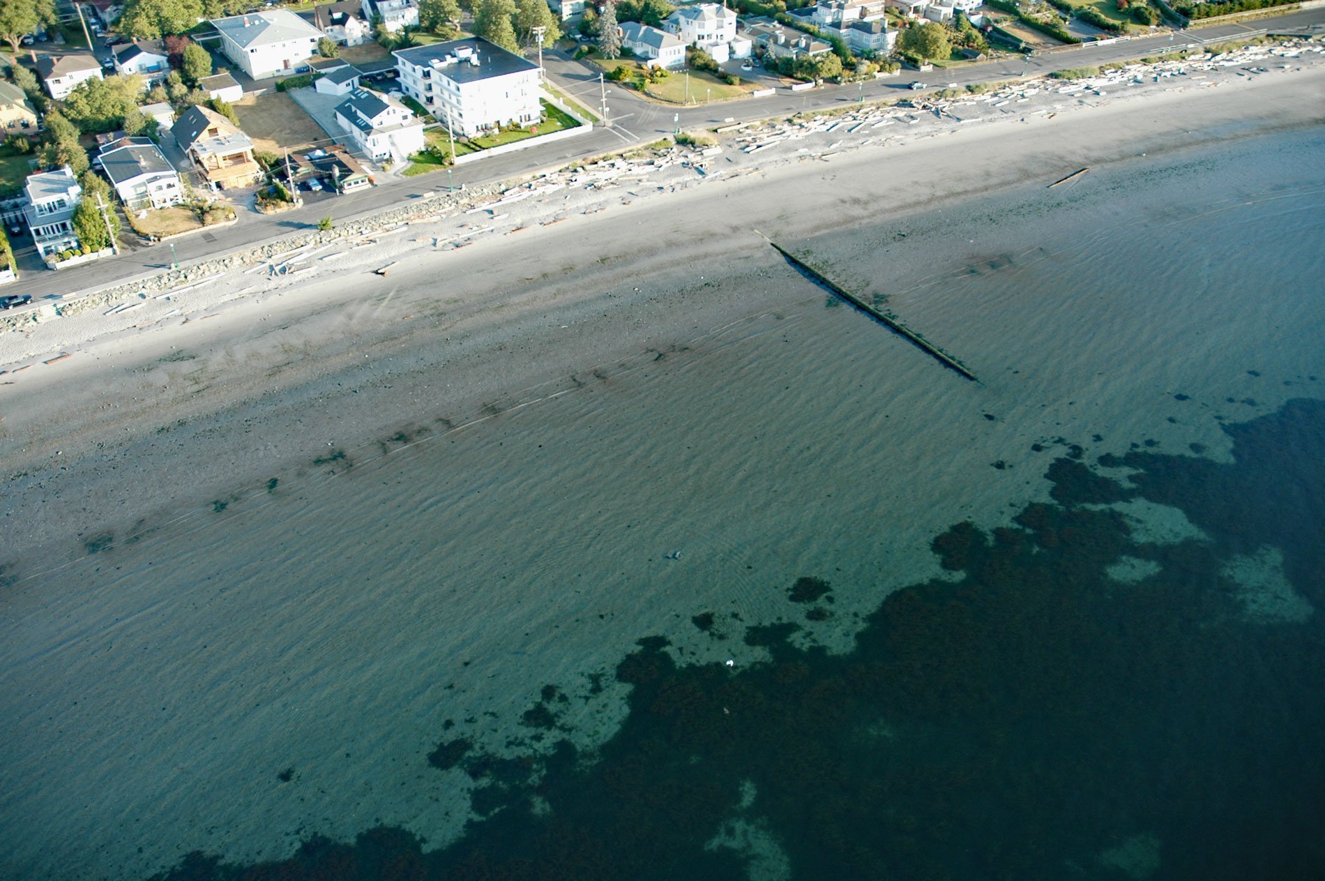
Willows Beach is a beachfront neighborhood between Bowker Creek and Cattle Point at the head of Oak Bay in Victoria, British Columbia. It takes its name from the Willows Fairground, built in 1891, that was the main horse-racing venue in Victoria during the early 20th century. The fairground and racetrack were named for the willow trees that grew there.
Prior to the arrival of Europeans, southeastern Vancouver Island was home to the Indigenous Coast Salish people of the Lekwungen nation, also called the Songhees. Their traditional language is Lekwungaynung, a dialect of the North Straits Salish language. Archaeological evidence of an ancient village known as Sitchanalth has been found along the shores of Willows Beach. In the Lekwungen language, the name Sitchanalth refers to the many drift logs that accumulate and are buried in the sand.
Midden excavations indicate numerous occupations occurring over the past 2,600 years. The village is hypothesized to have been destroyed by a tsunami around 900 to 930 AD caused by a rupture of the Seattle Fault Zone and subsequently reoccupied until about 1843. Families lived in cedar-planked longhouses facing the water, and houses ran the length of Willows Beach to sacred burial grounds at the north end of the bay. Read more here and here. Explore more of Willows Beach here:

