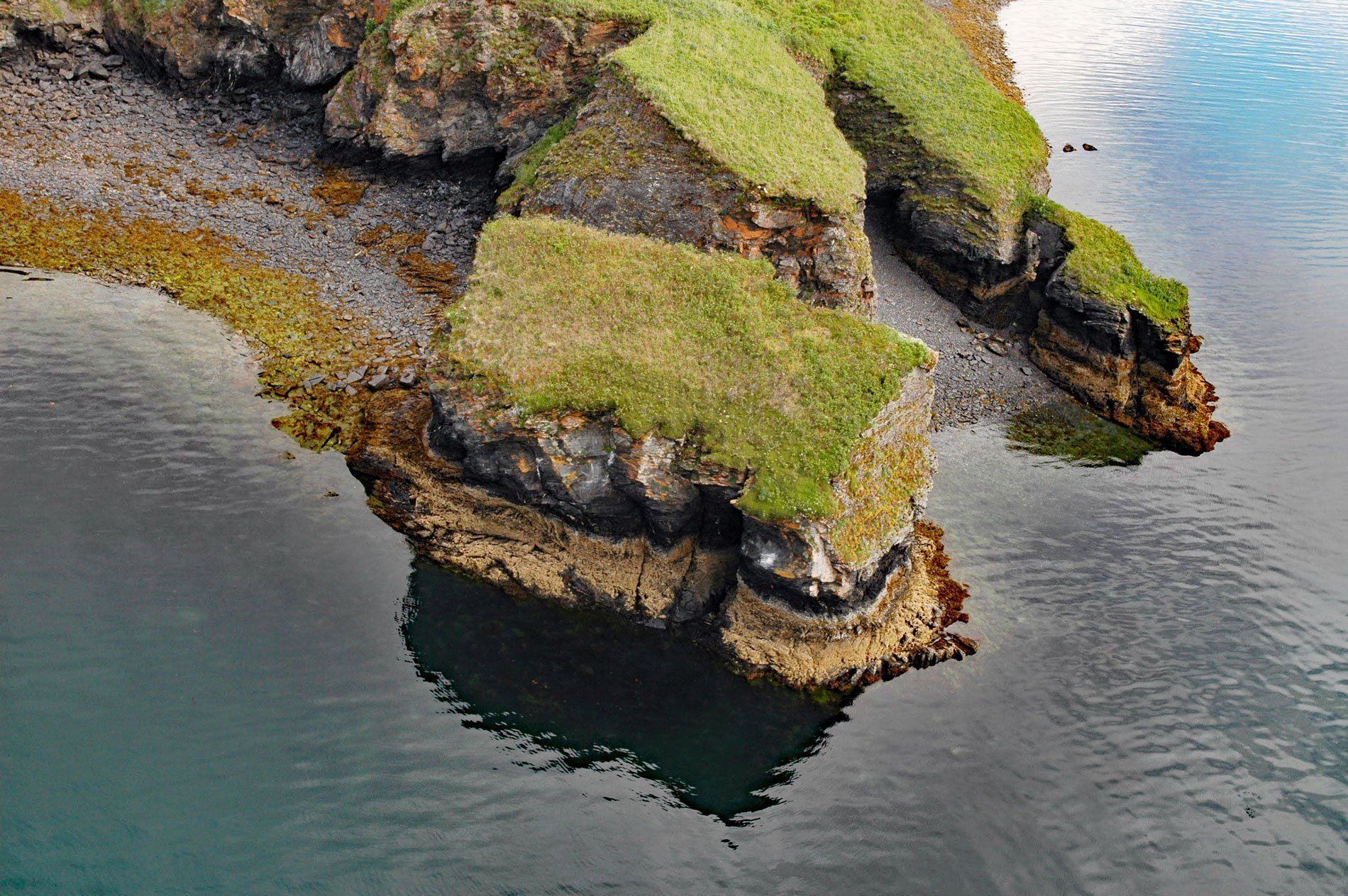
Uyak Bay extends south-southeast for 40 miles (65 km) off Shelikof Strait on the northwest coast of Kodiak Island, 59 miles (95 km) west-southwest of the community of Kodiak, Alaska. The Alutiiq name was first recorded in 1805 as “Bay of Oohiack” by Yuri Feodorovich Lisianski of the Imperial Russian Navy.
On the morning of May 26, 1929, the SS Aleutian was carrying mail, 115 tons of freight, 39 passengers, and 114 crew members as she steamed a course south into Uyak Bay. Sea conditions were calm and visibility was good. Aleutian was making 14 knots (26 kph) and drafting 21 feet (6.4 m). Without warning, a tremendous shudder reverberated through the ship’s hull from below the waterline. Aleutian had struck a submerged rock pinnacle and sank just seven minutes after impact. All but one crew member made it off the sinking ship and survived.
Shipwreck historian Steve Lloyd resurrected the story of the lost Aleutian in 1998. A chart of Uyak Bay shows depths approaching 400 feet (122 m) near the reported site of the sinking. Lloyd organized a search team that in 2002 located and sent divers to the wreck of Aleutian on the seafloor. Read more here and here. Explore more of Uyak Bay here:

