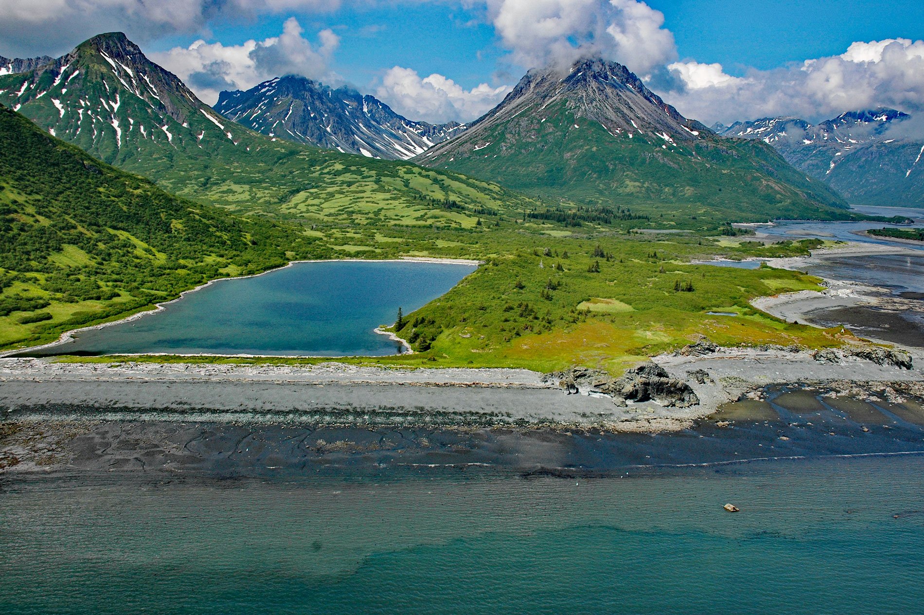
Ursus Cove is an embayment about 6 miles (10 km) across, on the northwest coast of Kamishak Bay, about 80 miles (129 km) west-southwest of Homer and 44 miles (71 km) southeast of Iliamna, Alaska. In 1904, the local name for the bay was Bear Cove according to G.C. Martin of the U.S. Geological Survey. However, since there were so many “bear” coves throughout Alaska, the Bureau of Geographic Names renamed the bay using the Latin word for bear.
Coastal lakes are common features on wave-dominated shorelines. They form when rapidly prograding beach sediments dam small watersheds and estuaries. The development of coastal lakes is dependent on the amount of sediment transported by waves and currents along the coast and the amount of freshwater discharge from the watershed.
In the winter, when watersheds are typically frozen and river discharge is minimal, waves and currents generated by energetic storms will transport large volumes of beach sediment. Under certain conditions, sediments can prograde faster than the minimal amount of freshwater can flush, effectively damming the drainage and creating coastal lakes. In the spring and summer, when freshwater discharge is high and sediment transport is low, the beach dams may be partially or completely destroyed. Read more here and here. Explore more of Ursus Cove here:

