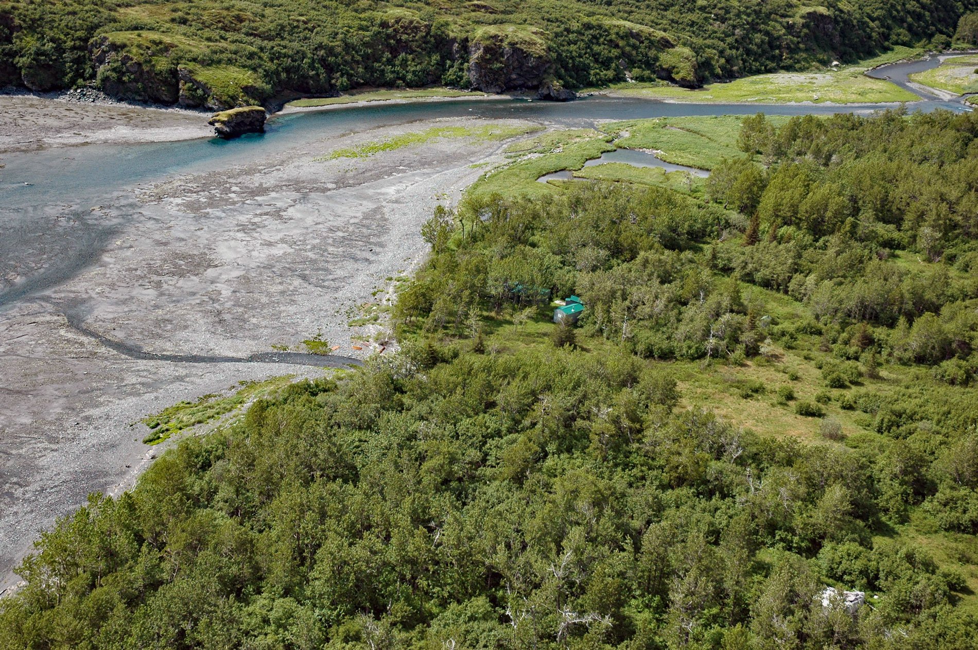
Dutton is a historical mining camp at the mouth of Ptarmigan Creek at the head of Cottonwood Bay, about 78 miles (126 km) west of Homer and 18 miles (29 km) southeast of Pedro Bay, Alaska. Ptarmigan Creek flows east for 10 miles (16 km) through the Chigmit Mountains from the outlet of Meadow Lake to Cottonwood Bay. Cottonwood Bay extends east for 3 miles (5 km) from Iliamna Bay on the west coast of Cook Inlet. The mining camp was named for George W. Dutton who was its first postmaster in 1905. The post office was discontinued in 1909.
In 1905, there were several cabins belonging to prospectors and traders at Iliamna and Cottonwood Bays, but these were occupied only when a supply boat was expected or when freight was being moved inland from the coast to the mines. Iliamna Bay was about a one day journey from Seward or 6 to 12 days from Seattle by steamship. A boat usually called at Iliamna Bay once a month from May to October, and only occasionally during the winter. An ancient Native trail followed Ptarmigan Creek from the head of Cottonwood Bay to old Iliamna village, a distance of about 20 miles (32 km), crossing three summit passes. The Dutton prospects were about 9 miles (15 km) west-northwest from the head of Cottonwood Bay, and 6 miles (10 km) southwest of old Iliamna village. Miners improved the trail for the first 14 miles (23 km) from Cottonwood Bay as a part of the development work on the prospects. This resulted in an easier grade for use by horses and wagons from June 1 to November 1, and dog teams during the winter.
The site of the Dutton prospect was discovered in 1901 by Silas J. Goodro. The prospect was at an elevation of about 2,000 feet (610 m), 2.5 miles (4 km) northeast of Meadow Lake. George W. Dutton, Silas J. Goodro, and Pierce Thomas established the Dutton Mining Company which conducted active development work in 1904 and 1905. Preliminary development consisted of surface trenching, adits, shafts, drill holes, as well as geophysical, geochemical, and geological mapping. The size of the deposit was estimated to be small. The ore mined was composed of chalcopyrite, magnetite and molybdenite. The prospect was explored intensively until about 1910. Some claims were patented and one adit was still open in 1981. Read more here and here. Explore more of Cottonwood Bay here:

