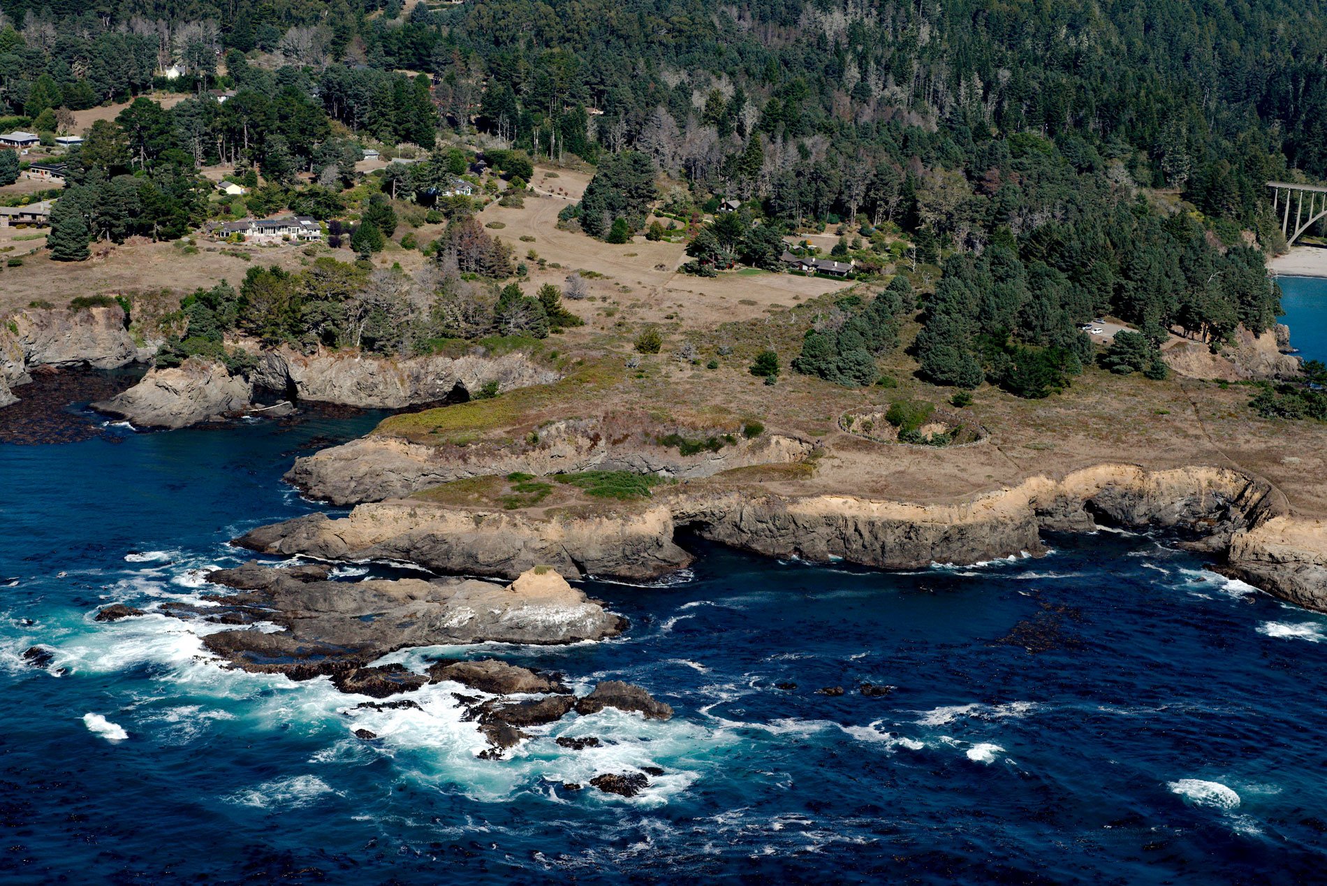
Devil’s Punchbowl is a sinkhole formed by a collapsed sea cave over 70 feet (21 m) deep and 100 feet (30 m) in diameter near the mouth of Russian Gulch Creek in Russian Gulch State Park, about 8 miles (13 km) south of Fort Bragg and 1.6 miles (2.6 km) north-northwest of Mendocino, California. Russian Gulch was reputedly named for a deserter from the Russian colony at Fort Ross, about 50 miles (80 km) to the south, who had settled there in the 1800s. Russian Gulch Creek starts at an elevation of roughly 70 feet (21 m) and flows generally west for 5 miles (8 km) draining a watershed underlain by a coastal belt of rocks representing the Franciscan Complex. Devil’s Punchbowl is connected to the ocean by a tunnel and is named for the turbulent seawater that fills the bottom of the pit at high tides. The rock forming the sea cave is an elevated marine terrace consisting of littoral or beach deposits of poorly consolidated sandstone, shale, conglomerate, and serpentine cemented by clay minerals. The age of the lowest prominent terrace, which is usually about 100 feet (30 m) high, is about 100,000 years, assuming a constant rate of uplift.
The littoral zone is the shallow water part of a sea, lake, or river adjacent to land. In coastal environments, the littoral zone extends from the high watermark, which is rarely inundated, to depths that are always submerged. The littoral zone always includes the intertidal zone, and the terms are often used interchangeably. A collapsed sea cave is also known as a littoral sinkhole, and the driving force in the development of a littoral sinkhole is wave action that causes erosion. Erosion is ongoing anywhere that waves batter rocky coasts, but the bedrock is removed at a greater rate where sea cliffs contain zones of weakness. Adding to the hydraulic power of the waves is the abrasive force of suspended sand and pebbles, and the oscillating motion of cobbles and boulders. Most sea cave walls are irregular, reflecting an erosional process where the rock is fractured piece by piece. However, some caves have walls that are rounded and smoothed, typically floored with cobbles, and result from the swirling motion of these cobbles in the surf zone. Sea caves have been documented in all four states on the Pacific coast.
In the second half of the 19th century, schooners made dangerous stops in the cove to take on coast redwood lumber and passengers. In the mid-1920s, a property developer bought land in the area to build a resort, but funds were raised for the park which was founded in 1933. Russian Gulch State Park is part of the Russian Gulch Marine Conservation Area. One goal of the conservation area is the restoration of kelp forests. Kelp forests are a vital feature of California’s coastal seascape and form the foundation of a rich community of fish, invertebrates, and marine mammals. A small marine protected area has existed at Russian Gulch since 1970 as part of the state park, but in 1999 the Marine Life Protection Act directed the state to redesign its existing marine protected areas into a more comprehensive network. The new Russian Gulch State Marine Conservation Area was established in 2012, along with 19 other north coast marine protected areas. Read more here and here. Explore more of Devil’s Punchbowl and Russian Gulch here:

