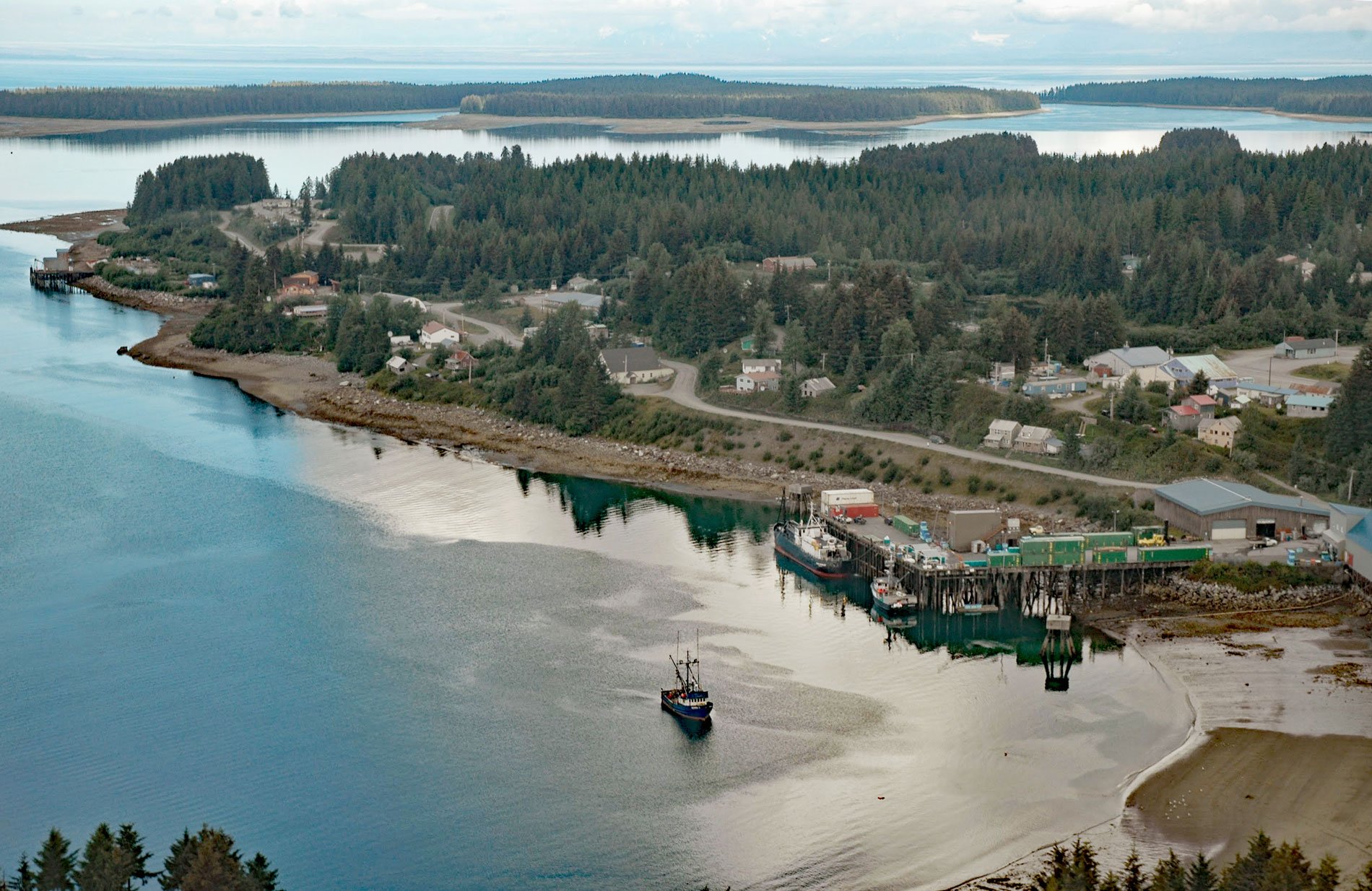
Yakutat is a small community at the head of Monti Bay, on the southeast shore of Yakutat Bay, about 222 miles (358 km) east-southeast of Cordova and 210 miles (339 km) northwest of Juneau, Alaska. The name “Baie de Monti” was given to Yakutat Bay or a part of it by Jean-François de Galaup, comte de Lapérouse, a French naval officer who explored this coast in 1786. The bay is named for Lieutenant de Monti who was the first officer of L’ Astrolabe, one of Lapérouse’s ships, and the first to reconnoiter the bay. It was called De Monti Bay on early U.S. Coast and Geodetic Survey charts, but since 1945 the name has been contracted to Monti Bay.
Yakutat Bay extends southwest for 36 miles (58 km) from Disenchantment Bay to the Gulf of Alaska. “Yakutat” is a Tlingit name reported as “Jacootat” and “Yacootat” by Yuri Lysianskyi of the Imperial Russian Navy in 1805, meaning “the place where canoes rest”. The original settlers in the Yakutat area were Eyak-speaking people from the Copper River area. They were assimilated when the Tlingit migrated to the bay before the arrival of Europeans. In the 18th and 19th centuries, English, French, Spanish and Russian vessels explored the region. The Shelikhov-Golikov Company, the precursor of the Russian-American Company, built a trading post on the Phipps Peninsula in 1796 to facilitate trade in sea otter pelts. It was known as New Russia, Yakutat Colony, or Slavorossiya. When the Russians cut off access to the fisheries nearby, a Tlingit war party destroyed the fort and it was never reoccupied.
After the Alaska Purchase in 1867, the black sand beaches in the area were mined for gold, and in 1884, the Alaska Commercial Company opened a store in Yakutat. In 1889, the Swedish Evangelical Mission of America opened a school for the Tlingit. Jenny Olson and Edward Anton Rasmuson arrived in Yakutat in 1901 and 1904 respectively, to teach at the school. Their legacy is embodied today by the Rasmuson Foundation, a philanthropic organization in Alaska. By 1900, plans were underway to construct fish canneries and salteries on the Yakutat waterfront by Fred Spenser Stimson, partial-owner of the Stimson Lumber Company in Ballard, Washington with support from Charles Terry Scurry, a descendant of Seattle industrialists, and J.T. Robinson, a Seattle mill owner. The following year, 10 miles (16 km) of the railroad were surveyed between Yakutat and the Situk River as was the survey of a cannery site of 60 acres (24 ha) at Monti Bay. In 1903, the Yakutat & Southern Railroad was founded by Stimson, Scurry, and Robinson with the express purpose of hauling fresh fish about 11 miles (18 km) from Johnson Slough on the Situk River to the cannery wharf in Yakutat. The railroad and sawmill were built first and used to haul timber to build the cannery, wharves, and other structures including a general store. The cannery and railroad operated under Stimson from 1903 until 1912 when ownership was transferred to Gorman and Company. In 1914, Libby, McNeil and Libby, a Chicago-based company assumed control, and it continued to run until 1951 when it again changed ownership to Bellingham Canning Company of Bellingham, Washington and it continued to operate under this ownership until the mid-1960s when it changed hands for the last time. The Marine Foods Packing Company was the last to own and operate the railroad and filed for bankruptcy in 1971. In October 1940, the U.S. Army Corps of Engineers arrived to begin construction of the Yakutat Landing Field, also known as the Yakutat Air Base, which was completed on June 15, 1943. The airfield was surplused in 1945, transferred to the Federal Aviation Administration, and operates today with scheduled commercial flights. Yakutat is also served by the Alaska Marine Highway ferries. Today the ferry dock and cannery are owned by the City and Borough of Yakutat and leased to a fish processor. The railroad has been largely replaced by an all-weather road and fishing is still the largest economic activity. Read more here and here. Explore more of Yakutat here:

