
British Columbia
Recent Articles
More Articles
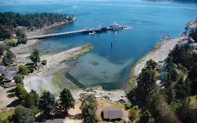
Sturdies Bay, Galiano Island
Sturdies Bay is an embayment near the northern entrance to Active Pass between Rip Point and Burrill Point on the southeast shore of Galiano Island, one of the southern Gulf Islands, about 19 miles (31 km) southwest of Delta and 16 miles (26 km) north-northwest of Sidney, British Columbia.
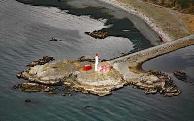
Fisgard Island, Esquimalt Harbour
Fisgard Island Light Station is located in Royal Roads off the southern shore of Vancouver Island at the entrance to Esquimalt Harbour, about 3.6 miles (5.8 km) west of Victoria and in the community of Colwood, British Columbia.
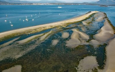
Sidney Spit, Sidney Island
Sidney Island is one of the southern Gulf Islands located in Haro Strait, about 45 miles (73 km) south-southwest of Vancouver and 2.8 miles (4.5 km) east of Sidney, British Columbia.
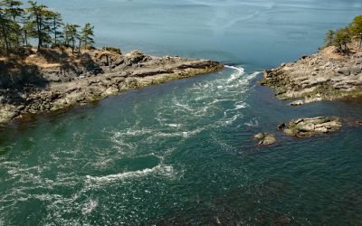
Boat Pass, Saturna Island
Boat Pass is a channel between Saturna Island and Samuel Island that provides a passage for small boats between Winter Cove and the Strait of Georgia, about 32 miles (52 km) south-southwest of Vancouver and 15 miles (24 km) northeast of Sidney, British Columbia.
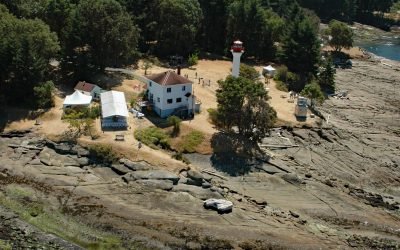
Active Pass, Gulf Islands
Active Pass is a narrow strait about 3.4 miles (5.5 km) long separating Mayne Island from Galiano Island in the southern Gulf Islands, about 16.4 miles (26.5 km) north-northeast of Sidney and 12.5 miles (20 km) southwest of Tsawwassen, British Columbia.
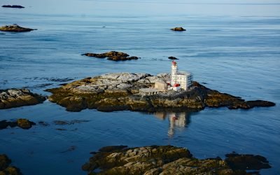
Triple Island, Brown Passage
Triple Island is the site of a large manned light station in Brown Passage, about 83 miles (134 km) south-southeast of Ketchikan and 22 miles (35 km) west-southwest of Prince Rupert, British Columbia.
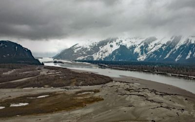
Kakwan Point, Stikine River
Kakwan Point is on the north bank of the Stikine River that starts in British Columbia and flows northwest and south for 330 miles (532 km) across the Alaska-Canada boundary to Eastern Passage, about 26 miles (42 km) southeast of Petersburg and 2 miles (3 km) north of Wrangell, Alaska.
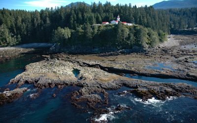
Carmanah Point, Pacific Rim National Park Reserve
Carmanah Point is the site of a historic light station in Pacific Rim National Park Reserve on the southwest coast of Vancouver Island that marks the entrance to the Strait of Juan de Fuca, about 65 miles (105 km) west-northwest of Victoria and 17 miles (27 km) northwest of Port Renfrew, British Columbia.
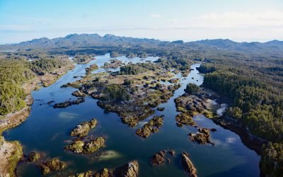
Stephens Island, Hecate Strait
Stephens Island is located in Hecate Strait and includes the Ksgaxl/Stephens Islands Conservancy in the Great Bear Rainforest, about 93 miles (150 km) south-southeast of Ketchikan and 19 miles (30 km) southwest of Prince Rupert, British Columbia.
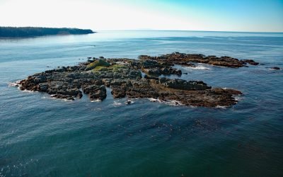
Seabird Rocks, Pacific Rim National Park Reserve
Seabird Rocks are located near the mouth of Pachena Bay in Pacific Rim National Park Reserve, about 35 miles (56 km) northwest of Port Renfrew and 6 miles (10 km) south of Bamfield, British Columbia.
About the background graphic
This ‘warming stripe’ graphic is a visual representation of the change in global temperature from 1850 (top) to 2019 (bottom). Each stripe represents the average global temperature for one year. The average temperature from 1971-2000 is set as the boundary between blue and red. The colour scale goes from -0.7°C to +0.7°C. The data are from the UK Met Office HadCRUT4.6 dataset.
Click here for more information about the #warmingstripes.