
California
Recent Articles
More Articles
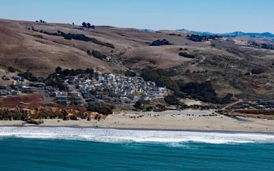
Dillon Beach, Bodega Bay
Dillon Beach is a community situated along Dillon Creek that starts at an elevation of 430 feet (131 m) and flows generally west for 1.3 miles (2 km) to Bodega Bay near the mouth of Tomales Bay, about 43 miles (69 km) north-northwest of San Francisco and 7 miles (11 km) south-southeast of the community of Bodega Bay, California.
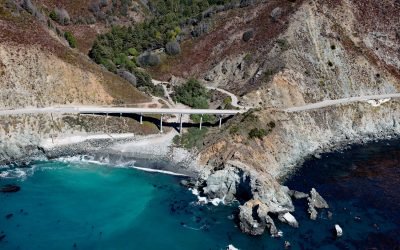
Limekiln State Park, Rockland Landing
Limekiln State Park is 716 acres (290 ha) on the Big Sur coast at Rockland Landing, about 31 miles (50 km) northwest of San Simeon and 2 miles (3.2 km) south of Lucia, California.

Klamath River, Requa
Klamath River flows for 257 miles (415 km) from a broad patchwork of lakes and marshes at the edge of the Oregon high desert, through the Cascade Range and the Klamath Mountains, and enters the Pacific Ocean at the community of Requa, about 52 miles (84 km) north of Eureka and 16 miles (26 km) south-southeast of Crescent City, California.
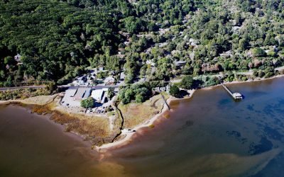
Inverness, Tomales Bay
Inverness is a community on the southwest shore of Tomales Bay, about 19 miles (14.5 km) southeast of Bodega Bay and 3.5 miles (5.6 km) northwest of Point Reyes Station, California.
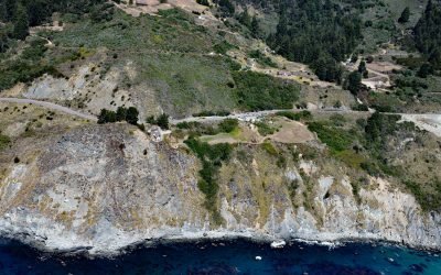
Lucia, Big Sur
Lucia is a community in Monterey County located at an elevation of 354 feet (108 m) on the Big Sur coast, about 43 miles (69 km) south-southeast of Monterey and 8.5 miles (14 km) north-northwest of Plaskett, California.
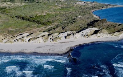
Año Nuevo Dunes, Año Nuevo State Park
Año Nuevo Dunes are in Año Nuevo State Park which is known for pinniped rookeries and seabirds, located on a low, rocky, windswept point, about 55 miles (89 km) south of San Francisco and 21 miles (34 km) northwest of Santa Cruz, California.
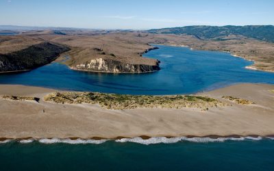
Limantour Estuary, Drakes Bay
Limantour Beach is a long narrow spit in Point Reyes National Seashore between Drakes Bay and Limantour Estuary, about 15 miles (24 km) northwest of Bolinas and 6 miles (10 km) southwest of Point Reyes Station, California.
About the background graphic
This ‘warming stripe’ graphic is a visual representation of the change in global temperature from 1850 (top) to 2019 (bottom). Each stripe represents the average global temperature for one year. The average temperature from 1971-2000 is set as the boundary between blue and red. The colour scale goes from -0.7°C to +0.7°C. The data are from the UK Met Office HadCRUT4.6 dataset.
Click here for more information about the #warmingstripes.