by CoastView | Dec 1, 2025 | 2025, Alaska, Islands, Shipwrecks
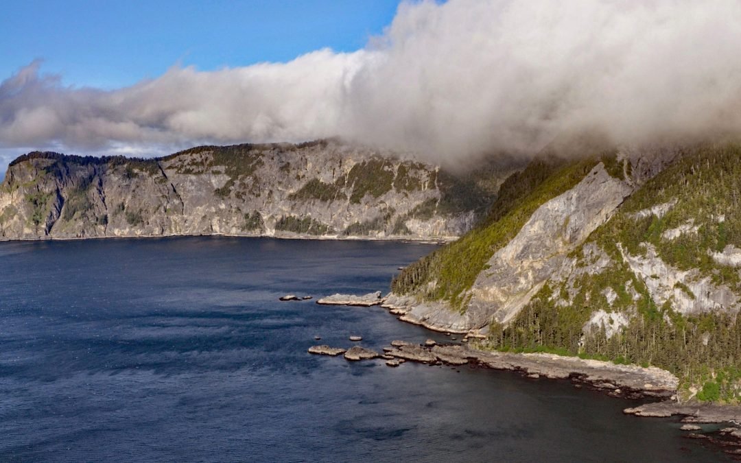
Listen to the article here https://coastview.org/wp-content/uploads/2025/11/StarofBengal.mp3 Star of Bengal is a shipwreck near China Cove, a small embayment about 1.7 miles (2.7 km) wide on the southeastern coast of Coronation Island, situated between Chatham and...

by CoastView | Nov 29, 2025 | 2025, Alaska, Communities, Rivers
Listen to the article here https://coastview.org/wp-content/uploads/2025/11/Chefornak.mp3 Chefornak is a small village located 16 miles (26 km) upriver from Etolin Strait on the Bering Sea at the junction of the Keguk and Kinia Rivers within the Yukon-Kuskokwim Delta,...

by CoastView | Nov 27, 2025 | 2025, Alaska, Islands, Kachemak
Listen to the article here https://coastview.org/wp-content/uploads/2025/11/CohenIsland.mp3 Cohen Island is approximately 0.3 miles (0.5 km) across and is located at the northern entrance to Eldred Passage on the eastern shore of Kachemak Bay, about 8 miles (13 km)...

by CoastView | Nov 25, 2025 | 2025, Alaska, Developments, Headlands
Listen to the article here https://coastview.org/wp-content/uploads/2025/11/OliktokPoint.mp3 Oliktok Point marks the eastern entrance to Harrison Bay on the Beaufort Sea, situated approximately 16 miles (26 km) west of Beechey Point, 35 miles (56 km) northeast of...

by CoastView | Nov 24, 2025 | 2025, Alaska, Historical, Shipwrecks
Listen to the article here https://coastview.org/wp-content/uploads/2025/11/UyakBay.mp3 Uyak Bay extends south-southeast for 40 miles (65 km) from Shelikof Strait on the northwest coast of Kodiak Island, about 59 miles (95 km) west-southwest of Kodiak, Alaska. The...

by CoastView | Nov 22, 2025 | 2025, Alaska, Headlands, Lighthouses
Listen to the article here https://coastview.org/wp-content/uploads/2025/11/CapeDecision.mp3 Cape Decision, located at the southern end of Kuiu Island in Southeast Alaska, is 105 miles (169 km) northwest of Ketchikan and 75 miles (121 km) southwest of Wrangell,...
