
LAST MONTH

James Island, Southern Gulf Islands
James Island is one of the Southern Gulf Islands located in Haro Strait between Cordova Channel to the west and Sidney Channel to the east, about 12 miles (19 km) north of Victoria and 4 miles (6.5 km) southeast of Sidney, British Columbia.
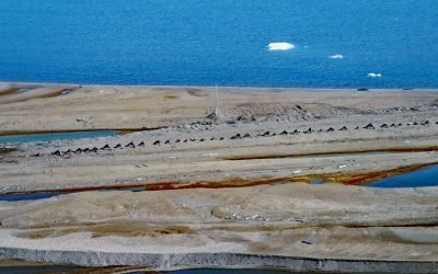
Cross Island, Beaufort Sea
Cross Island is an Arctic barrier island, about 2 miles (3.2 km) long, located between McClure Islands to the southeast and Midway Islands to the west on the Beaufort Sea coast, about 74 miles (119 km) northeast of Nuiqsut and 24 miles (40 km) north-northeast of Deadhorse, Alaska.
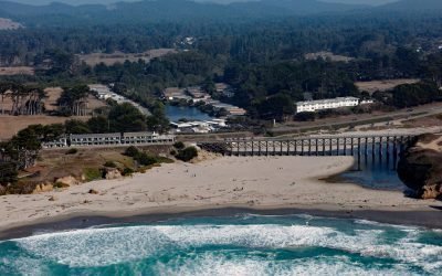
Pudding Creek, Fort Bragg
Pudding Creek is a small coastal watershed in Mendocino County that drains 18 square miles (4,662 ha) before entering the Pacific Ocean about 2.4 miles (3.9 km) southwest of Cleone and 1 mile (1.6 km) north of Fort Bragg, California.

Bay of Pillars, Kuiu Island
Bay of Pillars is on the west coast of Kuiu Island and 1.5 miles (2.4 km) across between Point Sullivan to the north and Point Ellis to the south, about 52 miles (84 km) southeast of Sitka and 52 miles (84 km) west-southwest of Petersburg, Alaska.
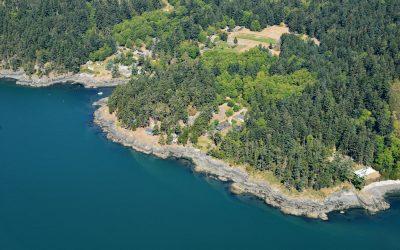
Doe Bay, Orcas Island
Doe Bay is a small community on the southeastern shore of Orcas Island in the San Juan Islands of Puget Sound, about 7 miles (11.3 km) southeast of the community of Eastsound, and 3 miles (4.8 km) northeast of Olga, Washington.
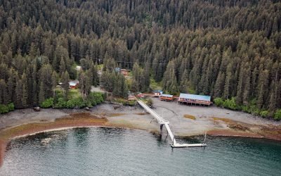
Kasitsna Bay Laboratory, Kachemak Bay
Kasitsna Bay Laboratory is a marine research facility located on a shallow embayment about 1.2 miles (1.9 km) wide, about 12 miles (19 km) south of Homer and 6.3 miles (10 km) northeast of Seldovia, Alaska.
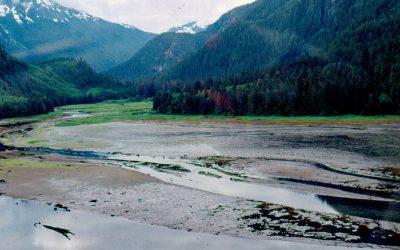
Kiltuish River, Gardner Canal
Kiltuish River originates in the Kitimat Ranges and flows about 16 miles (25 km) north to the Pacific Ocean at Kiltuish Inlet, an arm of Gardner Canal, about 103 miles (166 km) southeast of Prince Rupert and 51 miles (82 km) south of Kitimat, British Columbia.
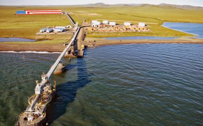
Red Dog Mine, Chukchi Sea
Red Dog is a zinc and lead mine about 46 miles (74 km) inland from the Chukchi Sea coast and connected by road to an export terminal, about 62 miles (100 km) northwest of Kotzebue and 16 miles (26 km) southeast of Kivalina, Alaska.

Harriman Glacier, Prince William Sound
Harriman Glacier is 8 miles (13 km) long, and trends northeast to its terminus at the head of Harriman Fjord, in Prince William Sound, about 74 miles (119 km) west-southwest of Valdez and 16 miles (26 km) northeast of Whittier, Alaska.
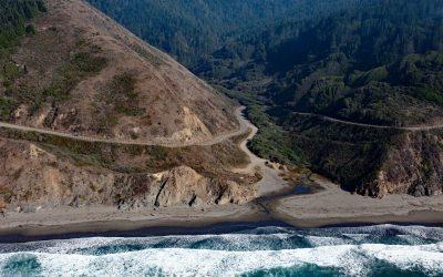
Blues Beach, Chadbourne Gulch
Chadbourne Gulch is a small stream that flows to the Pacific Ocean at Blues Beach between Bell Point to the north and Bruhel Point to the south, about 12 miles (19 km) north of Fort Bragg and 1.8 miles (2.9 km) south of Westport, California.
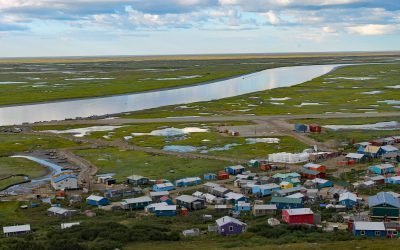
Scammon Bay, Kun River
Scammon Bay is a small community at the base of the Askinuk Mountains, on the left bank and about 1 mile (1.6 km) upstream from the mouth of the Kun River in the Yukon-Kuskokwim Delta, about 147 miles (237 km) northwest of Bethel and 73 miles (118 km) southwest of Emmonak, Alaska.
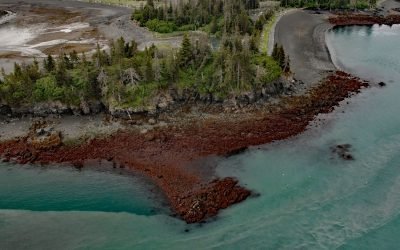
Lancashire Rocks, Kachemak Bay
Lancashire Rocks are a group of offshore rocks and reefs on the western edge of Neptune Bay along the eastern shore of Kachemak Bay, about 13 miles (21 km) northeast of Seldovia and 8 miles (13 km) southeast of Homer, Alaska.